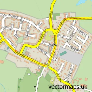
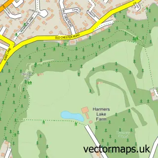
This Halebank street map is a detailed vector street map covering a 750m x 750m area. Select a larger area to create and download your own vector street map of Halebank.
The 750-metre map sample for Halebank covers 276 mapped buildings and approximately 14.5 km of road detail, of which 21 named roads are named. The immediate area includes 1 school, 7 GP surgeries within 2 miles and 1 MOT station, with 23 within 2 miles. The wider area around Halebank features 1 tourism point of interest. To create a larger or custom map of Halebank, the map builder lets you define your own coverage area and download editable SVG, PDF and PNG files.
Create a larger editable map of Halebank
Choose any area you need and generate a high-quality vector map instantly. Perfect for print, planning, design, business and personal use.

This Halebank street map in Cheshire is available as downloadable SVG, PDF and PNG map files, or as a printed map for planning, business, display, education, local information and design work. You can also create a larger custom map area using the map selector.
What this Halebank map sample shows
Halebank lies within Halebank Cp parish, part of Ditton ward in the Halton (B) local authority area. The postcode geography for this area includes the WA postcode area, the WA8 postcode district and the WA8 8 postcode sector. Residents fall under the Nhs Cheshire And Merseyside Integrated Care Board for NHS services.
Local features near Halebank
Within 2 milesAmenities and services in and around Halebank.
Administrative and postcode information for Halebank
Halebank lies within Halebank Cp parish, part of Ditton ward in the Halton (B) local authority area. The postcode geography for this area includes the WA postcode area, the WA8 postcode district and the WA8 8 postcode sector. Residents fall under the Nhs Cheshire And Merseyside Integrated Care Board for NHS services.
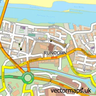
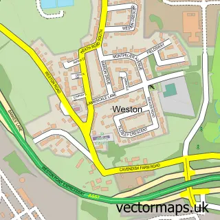
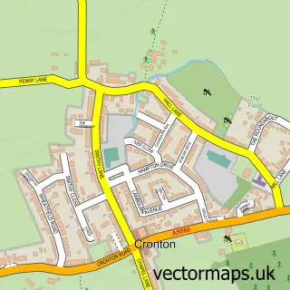
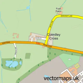
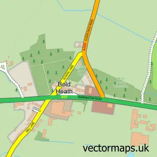
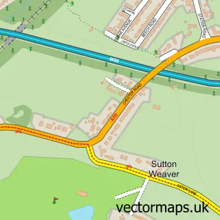
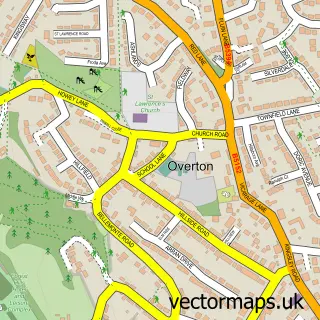
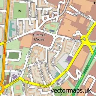
Nearby street map samples around Halebank

More street maps in Cheshire
750 metre map area coverage
Boundary, postcode and point of interest information for the 750m x 750m rectangle centred on this sample map.
Boundaries containing map centre
Constituency: Widnes and Halewood Co Const
District: Halton (B)
Icb: NHS Cheshire and Merseyside ICB
Parish: Halebank CP
Police Force: cheshire
Postcode District: WA8
Postcode Sector: WA8 8
Ward: Ditton, Hale Village & Halebank Ward
Nearby boundaries intersecting sample
No additional intersecting boundaries found.
Postcode coverage
POI category counts
Automotive Repair: 3
Freight And Cargo Service: 3
Garbage Collection Service: 3
Truck Dealer For Businesses: 3
Building Supply Store: 2
Carpet Store: 2
Chemical Plant: 2
Contractor: 2
Food Beverage Service Distribution: 2
Professional Services: 2
Sample points of interest
- The Cooperative Food (BF) Hale Bank (ERF)
- Halebank Car Breakers
- A & D Body Shop
- MSJ Car Parts & Spares Widnes
- mjspaint
- The Goldmine Bar and Grill
- Just Cuts Barber Shop
- Pelle Aesthetics
- MCL Coatings
- North Cheshire Scaffold
- Hampak
- Glacial Art Ice Sculptors
Create a larger editable map of Halebank
This sample shows only a 750 metre area. To create a larger map of Halebank, use our map builder to choose your own coverage area, add titles and download editable SVG, PDF and PNG files.
Create a custom map of Halebank