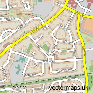
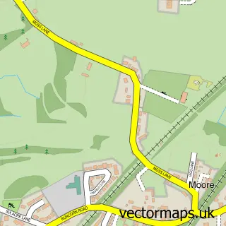
This Cronton street map is a detailed vector street map covering a 750m x 750m area. Select a larger area to create and download your own vector street map of Cronton.
The 750-metre map sample for Cronton covers 299 mapped buildings and approximately 12.5 km of road detail, of which 21 named roads are named. The immediate area includes 2 schools, 7 GP surgeries within 2 miles, 3 pubs and 10 MOT stations within 2 miles. The wider area around Cronton features 1 tourism point of interest and 4 food and drink venues. To create a larger or custom map of Cronton, the map builder lets you define your own coverage area and download editable SVG, PDF and PNG files.
Create a larger editable map of Cronton
Choose any area you need and generate a high-quality vector map instantly. Perfect for print, planning, design, business and personal use.

This Cronton street map in Merseyside is available as downloadable SVG, PDF and PNG map files, or as a printed map for planning, business, display, education, local information and design work. You can also create a larger custom map area using the map selector.
What this Cronton map sample shows
Cronton lies within Cronton Cp parish, part of Whiston And Cronton ward in the Knowsley District (B) local authority area. The postcode geography for this area includes the WA postcode area, the WA8 postcode district and the WA8 5 postcode sector. Residents fall under the Nhs Cheshire And Merseyside Integrated Care Board for NHS services.
Local features near Cronton
Within 2 milesAmenities and services in and around Cronton.
Administrative and postcode information for Cronton
The local authority covering Cronton is Knowsley District (B), within the county of Merseyside. The settlement lies within Whiston And Cronton ward and Cronton Cp civil parish. The WA8 postcode district and WA8 5 postcode sector serve the immediate area. NHS provision in the area is delivered through Mersey And West Lancashire Teaching Hospitals Nhs Trust.
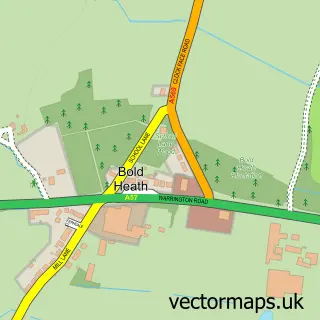
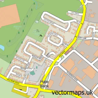
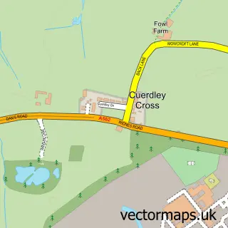
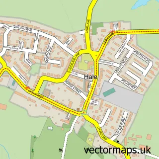
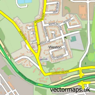
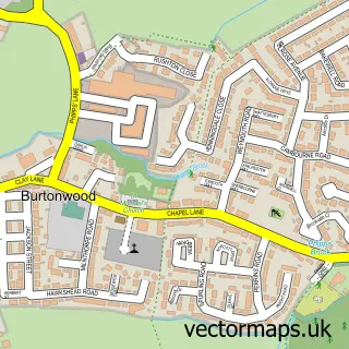
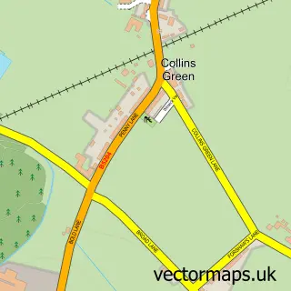
Nearby street map samples around Cronton

More street maps in Merseyside
750 metre map area coverage
Boundary, postcode and point of interest information for the 750m x 750m rectangle centred on this sample map.
Boundaries containing map centre
Constituency: Widnes and Halewood Co Const
District: Knowsley District (B)
Icb: NHS Cheshire and Merseyside ICB
Parish: Cronton CP
Police Force: merseyside
Postcode District: WA8
Postcode Sector: WA8 5
Ward: Whiston & Cronton Ward
Nearby boundaries intersecting sample
Postcode Sector: WA8 4
Postcode coverage
POI category counts
Caterer: 3
Elementary School: 3
Hair Salon: 3
Pub: 3
Beauty Salon: 2
Attractions And Activities: 1
Barber: 1
Beauty And Spa: 1
Beauty Product Supplier: 1
Charity Organization: 1
Sample points of interest
- The Pasture
- CJ's Barber Shop
- Mel-icious
- Space Hair
- Hamptons Salon
- The Peacock Room, Cronton
- Bluebell Catering Widnes
- Coolbox Frozen Yogurt
- Purple Pea Catering
- Cronton Village Bowling Club
- Cronton Community Centre
- Love Yourz
Create a larger editable map of Cronton
This sample shows only a 750 metre area. To create a larger map of Cronton, use our map builder to choose your own coverage area, add titles and download editable SVG, PDF and PNG files.
Create a custom map of Cronton