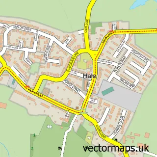
This Halewood street map is a detailed vector street map covering a 750m x 750m area. Select a larger area to create and download your own vector street map of Halewood.
The 750-metre map sample for Halewood covers 470 mapped buildings and approximately 20.5 km of road detail, of which 44 named roads are named. The immediate area includes 2 GP surgeries, with 10 within 2 miles and 14 MOT stations within 2 miles. The wider area around Halewood features 2 tourism points of interest and 1 food and drink venue. To create a larger or custom map of Halewood, the map builder lets you define your own coverage area and download editable SVG, PDF and PNG files.
Create a larger editable map of Halewood
Choose any area you need and generate a high-quality vector map instantly. Perfect for print, planning, design, business and personal use.

This Halewood street map in Merseyside is available as downloadable SVG, PDF and PNG map files, or as a printed map for planning, business, display, education, local information and design work. You can also create a larger custom map area using the map selector.
What this Halewood map sample shows
Halewood lies within Halewood Cp parish, part of Halewood South ward in the Knowsley District (B) local authority area. The postcode geography for this area includes the L postcode area, the L26 postcode district and the L26 0 postcode sector. Residents fall under the Nhs Cheshire And Merseyside Integrated Care Board for NHS services.
Local features near Halewood
Within 2 milesAmenities and services in and around Halewood.
Administrative and postcode information for Halewood
Halewood lies within Halewood Cp parish, part of Halewood South ward in the Knowsley District (B) local authority area. The postcode geography for this area includes the L postcode area, the L26 postcode district and the L26 0 postcode sector. Residents fall under the Nhs Cheshire And Merseyside Integrated Care Board for NHS services.
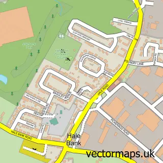
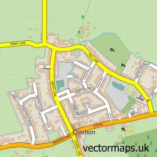
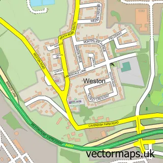
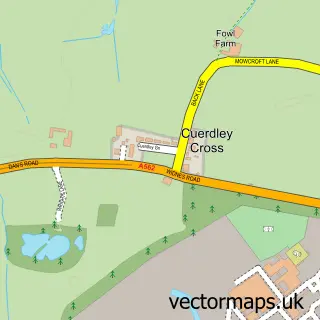
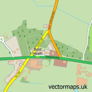
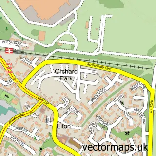
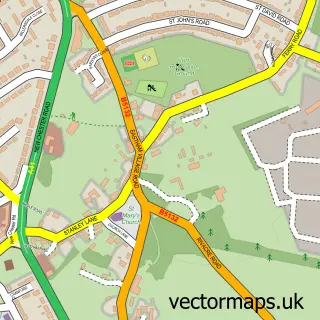
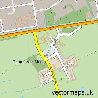
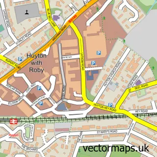
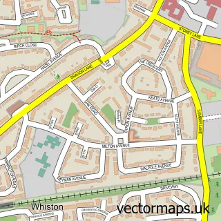
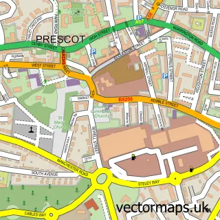
Nearby street map samples around Halewood

More street maps in Merseyside
750 metre map area coverage
Boundary, postcode and point of interest information for the 750m x 750m rectangle centred on this sample map.
Boundaries containing map centre
Constituency: Widnes and Halewood Co Const
District: Knowsley District (B)
Icb: NHS Cheshire and Merseyside ICB
Parish: Halewood CP
Police Force: merseyside
Postcode District: L26
Postcode Sector: L26 1
Ward: Halewood South Ward
Nearby boundaries intersecting sample
Postcode Sector: L26 0, L26 9
Postcode coverage
POI category counts
Doctor: 6
Driving School: 3
Gas Station: 3
Package Locker: 3
Supermarket: 3
Assisted Living Facility: 2
Church Cathedral: 2
Convenience Store: 2
Discount Store: 2
Gift Shop: 2
Sample points of interest
- St Mary's, Halewood
- Anchor - Kinloch Close
- Kinloch Close
- Tesco Bank ATM
- HearUBetter - Ear Wax Removal Services
- Ladbrokes
- G Murray Tree Surgeons
- Liverpool Flooring
- St Mark
- St Mary's Church
- Costa Express
- St Marys centre
Create a larger editable map of Halewood
This sample shows only a 750 metre area. To create a larger map of Halewood, use our map builder to choose your own coverage area, add titles and download editable SVG, PDF and PNG files.
Create a custom map of Halewood