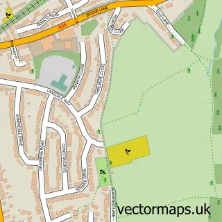
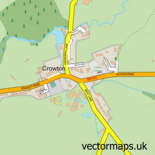
This Sutton Weaver street map is a detailed vector street map covering a 750m x 750m area. Select a larger area to create and download your own vector street map of Sutton Weaver.
The 750-metre map sample for Sutton Weaver covers 134 mapped buildings and approximately 10.9 km of road detail, of which 7 named roads are named. The immediate area includes 4 GP surgeries within 2 miles and 6 MOT stations within 2 miles. To create a larger or custom map of Sutton Weaver, the map builder lets you define your own coverage area and download editable SVG, PDF and PNG files.
Create a larger editable map of Sutton Weaver
Choose any area you need and generate a high-quality vector map instantly. Perfect for print, planning, design, business and personal use.

This Sutton Weaver street map in Cheshire is available as downloadable SVG, PDF and PNG map files, or as a printed map for planning, business, display, education, local information and design work. You can also create a larger custom map area using the map selector.
What this Sutton Weaver map sample shows
Sutton Weaver lies within Sutton Weaver Cp parish, part of Marbury ward in the Cheshire West And Chester (B) local authority area. The postcode geography for this area includes the WA postcode area, the WA7 postcode district and the WA7 3 postcode sector. Residents fall under the Nhs Cheshire And Merseyside Integrated Care Board for NHS services.
Local features near Sutton Weaver
Within 2 milesAmenities and services in and around Sutton Weaver.
Administrative and postcode information for Sutton Weaver
The local authority covering Sutton Weaver is Cheshire West And Chester (B), within the county of Cheshire. The settlement lies within Marbury ward and Sutton Weaver Cp civil parish. The WA7 postcode district and WA7 3 postcode sector serve the immediate area. NHS provision in the area is delivered through Mid Cheshire Hospitals Nhs Foundation Trust.
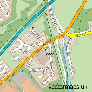
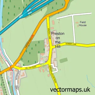
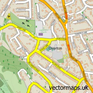
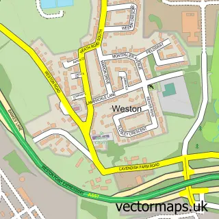
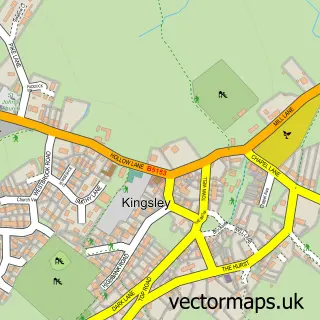
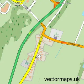
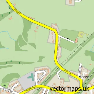
Nearby street map samples around Sutton Weaver

More street maps in Cheshire
750 metre map area coverage
Boundary, postcode and point of interest information for the 750m x 750m rectangle centred on this sample map.
Boundaries containing map centre
Constituency: Tatton Co Const
District: Cheshire West and Chester (B)
Icb: NHS Cheshire and Merseyside ICB
Parish: Sutton Weaver CP
Police Force: cheshire
Postcode District: WA7
Postcode Sector: WA7 3
Ward: Marbury Ward
Nearby boundaries intersecting sample
Constituency: Runcorn and Helsby Co Const
District: Halton (B)
Ward: Beechwood & Heath Ward
Postcode coverage
POI category counts
Professional Services: 2
Bed And Breakfast: 1
Business Consulting: 1
Chimney Sweep: 1
Golf Course: 1
Gym: 1
Marketing Consultant: 1
Painting: 1
Pediatric Dentist: 1
Pet Groomer: 1
Sample points of interest
- Number 78 Guest House
- McA Manufacturing Consultancy
- Clean Sweep
- Sutton Hall Golf Club
- Spirit Health Club Within Holiday Inn
- Camber Associates
- Nems
- Evolution Dental Studio
- Woof You Furever Groom Room
- AMB Recruitment Group
- Blue Arrow Traffic Management
Create a larger editable map of Sutton Weaver
This sample shows only a 750 metre area. To create a larger map of Sutton Weaver, use our map builder to choose your own coverage area, add titles and download editable SVG, PDF and PNG files.
Create a custom map of Sutton Weaver