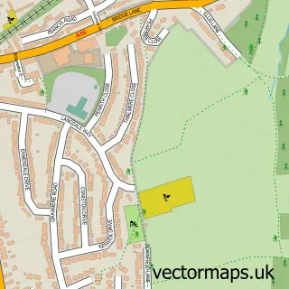
This Preston Brook street map is a detailed vector street map covering a 750m x 750m area. Select a larger area to create and download your own vector street map of Preston Brook.
The 750-metre map sample for Preston Brook covers 211 mapped buildings and approximately 12.6 km of road detail, of which 18 named roads are named. The immediate area includes 3 GP surgeries within 2 miles and 2 MOT stations within 2 miles. To create a larger or custom map of Preston Brook, the map builder lets you define your own coverage area and download editable SVG, PDF and PNG files.
Create a larger editable map of Preston Brook
Choose any area you need and generate a high-quality vector map instantly. Perfect for print, planning, design, business and personal use.

This Preston Brook street map in Cheshire is available as downloadable SVG, PDF and PNG map files, or as a printed map for planning, business, display, education, local information and design work. You can also create a larger custom map area using the map selector.
What this Preston Brook map sample shows
Preston Brook lies within Preston Brook Cp parish, part of Daresbury ward in the Halton (B) local authority area. The postcode geography for this area includes the WA postcode area, the WA4 postcode district and the WA4 4 postcode sector. Residents fall under the Nhs Cheshire And Merseyside Integrated Care Board for NHS services.
Local features near Preston Brook
Within 2 milesAmenities and services in and around Preston Brook.
Administrative and postcode information for Preston Brook
Preston Brook lies within Preston Brook Cp parish, part of Daresbury ward in the Halton (B) local authority area. The postcode geography for this area includes the WA postcode area, the WA4 postcode district and the WA4 4 postcode sector. Residents fall under the Nhs Cheshire And Merseyside Integrated Care Board for NHS services.
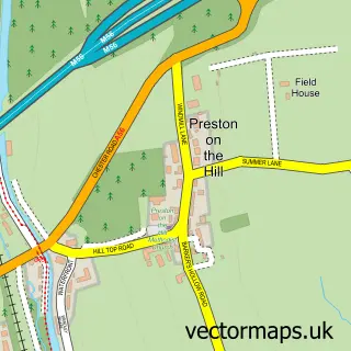
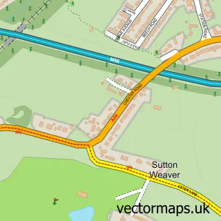
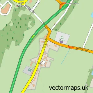
Nearby street map samples around Preston Brook

More street maps in Cheshire
750 metre map area coverage
Boundary, postcode and point of interest information for the 750m x 750m rectangle centred on this sample map.
Boundaries containing map centre
Constituency: Runcorn and Helsby Co Const
District: Halton (B)
Icb: NHS Cheshire and Merseyside ICB
Parish: Preston Brook CP
Police Force: cheshire
Postcode District: WA7
Postcode Sector: WA7 3
Ward: Norton South & Preston Brook Ward
Nearby boundaries intersecting sample
Parish: Daresbury CP
Postcode District: WA4
Postcode Sector: WA4 4, WA7 6
Ward: Daresbury, Moore & Sandymoor Ward, Norton North Ward
Postcode coverage
POI category counts
Contractor: 2
Topic Concert Venue: 2
Boat Parts And Accessories: 1
Convenience Store: 1
Currency Exchange: 1
Education: 1
Freight And Cargo Service: 1
Gardener: 1
Hardware Store: 1
Interior Design: 1
Sample points of interest
- Midland Chandlers
- M Lacey Building & Maintenance Services
- M Lacey Building Services
- SPAR
- Post Office Travel Money
- RDB Food Safety Training
- Midlands and Coast Canal Carriers
- Wow Garden Design
- Halton Helpful Handyman
- Keates Interiors
- Preston Brook Wharf
- Preston Brook Post Office
Create a larger editable map of Preston Brook
This sample shows only a 750 metre area. To create a larger map of Preston Brook, use our map builder to choose your own coverage area, add titles and download editable SVG, PDF and PNG files.
Create a custom map of Preston Brook