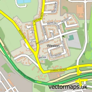
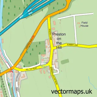
This Runcorn street map is a detailed vector street map covering a 750m x 750m area. Select a larger area to create and download your own vector street map of Runcorn.
The 750-metre map sample for Runcorn covers 163 mapped buildings and approximately 24.5 km of road detail, of which 50 named roads are named. The immediate area includes 1 school, 2 GP surgeries, with 7 within 2 miles, 8 pubs and 2 MOT stations, with 29 within 2 miles. The wider area around Runcorn features 5 tourism points of interest, 27 food and drink venues and 5 hotels. To create a larger or custom map of Runcorn, the map builder lets you define your own coverage area and download editable SVG, PDF and PNG files.
Create a larger editable map of Runcorn
Choose any area you need and generate a high-quality vector map instantly. Perfect for print, planning, design, business and personal use.

This Runcorn street map in Cheshire is available as downloadable SVG, PDF and PNG map files, or as a printed map for planning, business, display, education, local information and design work. You can also create a larger custom map area using the map selector.
What this Runcorn map sample shows
Runcorn lies within Halton (B) parish, part of Mersey ward in the Halton (B) local authority area. The postcode geography for this area includes the WA postcode area, the WA7 postcode district and the WA7 1 postcode sector. Residents fall under the Nhs Cheshire And Merseyside Integrated Care Board for NHS services.
Local features near Runcorn
Within 2 milesAmenities and services in and around Runcorn.
Administrative and postcode information for Runcorn
Runcorn lies within Halton (B) parish, part of Mersey ward in the Halton (B) local authority area. The postcode geography for this area includes the WA postcode area, the WA7 postcode district and the WA7 1 postcode sector. Residents fall under the Nhs Cheshire And Merseyside Integrated Care Board for NHS services.
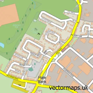
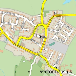
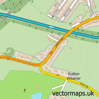
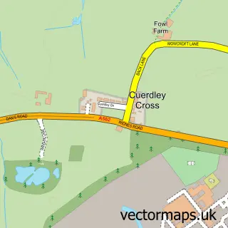
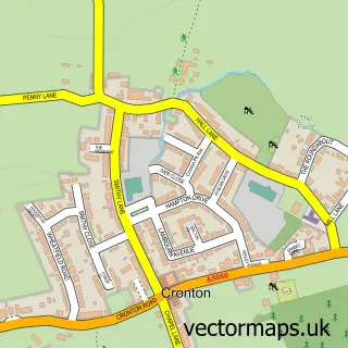
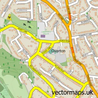
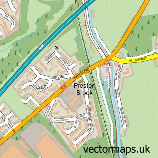
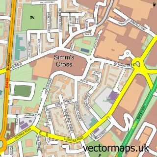
Nearby street map samples around Runcorn

More street maps in Cheshire
750 metre map area coverage
Boundary, postcode and point of interest information for the 750m x 750m rectangle centred on this sample map.
Boundaries containing map centre
Constituency: Runcorn and Helsby Co Const
District: Halton (B)
Icb: NHS Cheshire and Merseyside ICB
Police Force: cheshire
Postcode District: WA7
Postcode Sector: WA7 1
Ward: Mersey & Weston Ward
Nearby boundaries intersecting sample
Postcode Sector: WA7 5
Ward: Bridgewater Ward
Postcode coverage
POI category counts
Beauty Salon: 17
Tattoo And Piercing: 14
Fast Food Restaurant: 13
Barber: 12
Beauty And Spa: 10
Coffee Shop: 9
Hair Salon: 9
Pizza Restaurant: 8
Pub: 8
Real Estate Agent: 8
Sample points of interest
- The Decks
- Oasis Rehab Runcorn
- Avery Dennison
- Lavenders Holistic Therapy Centre
- Open Mindz
- Inflata Nation Inflatable Park Cheshire
- Jump Nation Trampoline Park Runcorn
- Naka's melts and scents
- Hazlehurst Studios
- Runcorn Comic-Con
- CHINESE OPEN KITCHEN Chinese Takeaway
- Eastern Chef
Create a larger editable map of Runcorn
This sample shows only a 750 metre area. To create a larger map of Runcorn, use our map builder to choose your own coverage area, add titles and download editable SVG, PDF and PNG files.
Create a custom map of Runcorn