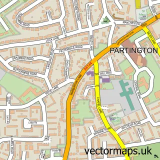
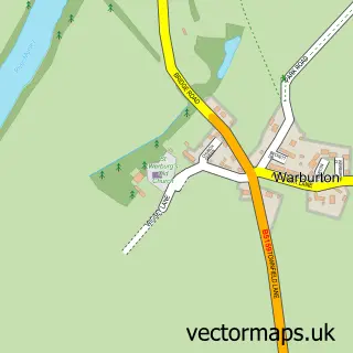
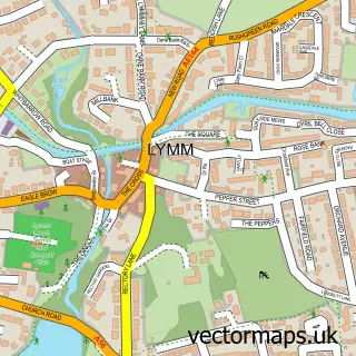
This Cadishead street map is a detailed vector street map covering a 750m x 750m area. Select a larger area to create and download your own vector street map of Cadishead.
The 750-metre map sample for Cadishead covers 447 mapped buildings and approximately 19.9 km of road detail, of which 48 named roads are named. The immediate area includes 5 GP surgeries within 2 miles, 3 pubs and 2 MOT stations, with 9 within 2 miles. The wider area around Cadishead features 1 tourism point of interest and 6 food and drink venues. To create a larger or custom map of Cadishead, the map builder lets you define your own coverage area and download editable SVG, PDF and PNG files.
Create a larger editable map of Cadishead
Choose any area you need and generate a high-quality vector map instantly. Perfect for print, planning, design, business and personal use.

This Cadishead street map in Greater Manchester is available as downloadable SVG, PDF and PNG map files, or as a printed map for planning, business, display, education, local information and design work. You can also create a larger custom map area using the map selector.
What this Cadishead map sample shows
Cadishead lies within Salford District (B) parish, part of Cadishead ward in the Salford District (B) local authority area. The postcode geography for this area includes the M postcode area, the M44 postcode district and the M44 5 postcode sector. Residents fall under the Nhs Greater Manchester Integrated Care Board for NHS services.
Local features near Cadishead
Within 2 milesAmenities and services in and around Cadishead.
Administrative and postcode information for Cadishead
The local authority covering Cadishead is Salford District (B), within the county of Greater Manchester. The settlement lies within Cadishead ward and Salford District (B) civil parish. The M44 postcode district and M44 5 postcode sector serve the immediate area. NHS provision in the area is delivered through Northern Care Alliance Nhs Foundation Trust.
Nearby street map samples around Cadishead

More street maps in Greater Manchester
750 metre map area coverage
Boundary, postcode and point of interest information for the 750m x 750m rectangle centred on this sample map.
Boundaries containing map centre
Constituency: Worsley and Eccles Co Const
District: Salford District (B)
Icb: NHS Greater Manchester ICB
Police Force: greater manchester
Postcode District: M44
Postcode Sector: M44 5
Ward: Cadishead & Lower Irlam Ward
Nearby boundaries intersecting sample
Constituency: Stretford and Urmston Boro Const
District: Trafford District (B)
Parish: Partington CP
Postcode District: M31
Postcode Sector: M31 4
Ward: Bucklow-St. Martins Ward
Postcode coverage
POI category counts
Beauty Salon: 5
Retail: 4
Automotive Repair: 3
Car Dealer: 3
Church Cathedral: 3
Contractor: 3
Driving School: 3
Hair Salon: 3
Online Shop: 3
Pub: 3
Sample points of interest
- Roseway Avenue
- St Mary's, Cadishead
- PayPoint
- Dinan Engineering UK
- Vagbremtechnic
- Hunter Wheel Alignment Manchester
- Performance M
- APR UK
- Awesome GTI
- Awesome VW Audi Group Specialists
- Cake Love
- Barclays Bank - Cadishead
Create a larger editable map of Cadishead
This sample shows only a 750 metre area. To create a larger map of Cadishead, use our map builder to choose your own coverage area, add titles and download editable SVG, PDF and PNG files.
Create a custom map of Cadishead