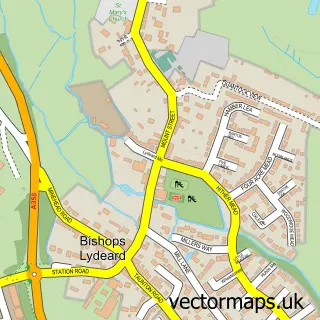
This Broomfield street map is a detailed vector street map covering a 750m x 750m area. Select a larger area to create and download your own vector street map of Broomfield.
The 750-metre map sample for Broomfield covers 26 mapped buildings and approximately 7.2 km of road detail. The immediate area includes 1 MOT station within 2 miles. The wider area around Broomfield features 2 tourism points of interest. To create a larger or custom map of Broomfield, the map builder lets you define your own coverage area and download editable SVG, PDF and PNG files.
Create a larger editable map of Broomfield
Choose any area you need and generate a high-quality vector map instantly. Perfect for print, planning, design, business and personal use.

This Broomfield street map in Somerset is available as downloadable SVG, PDF and PNG map files, or as a printed map for planning, business, display, education, local information and design work. You can also create a larger custom map area using the map selector.
What this Broomfield map sample shows
Broomfield lies within Broomfield Cp parish, part of North Petherton ward in the Somerset local authority area. The postcode geography for this area includes the TA postcode area, the TA5 postcode district and the TA5 2 postcode sector. Residents fall under the Nhs Somerset Integrated Care Board for NHS services.
Local features near Broomfield
Within 2 milesAmenities and services in and around Broomfield.
Administrative and postcode information for Broomfield
Broomfield lies within Broomfield Cp parish, part of North Petherton ward in the Somerset local authority area. The postcode geography for this area includes the TA postcode area, the TA5 postcode district and the TA5 2 postcode sector. Residents fall under the Nhs Somerset Integrated Care Board for NHS services.
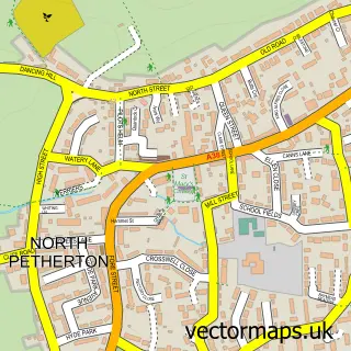
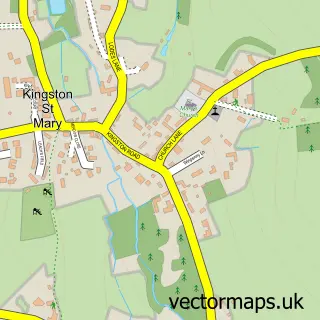
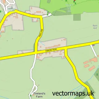
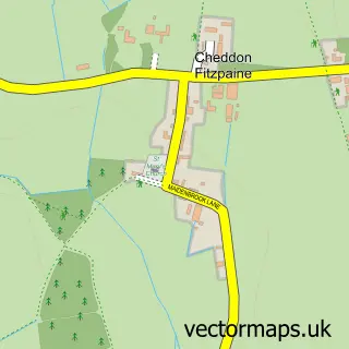
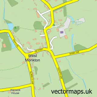
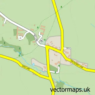
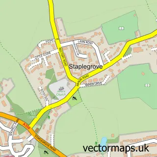
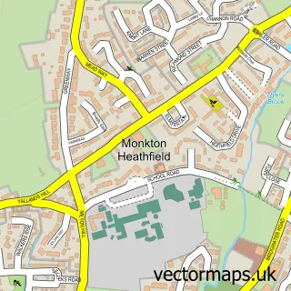
Nearby street map samples around Broomfield

More street maps in Somerset
750 metre map area coverage
Boundary, postcode and point of interest information for the 750m x 750m rectangle centred on this sample map.
Boundaries containing map centre
Constituency: Bridgwater Co Const
District: Somerset
Icb: NHS Somerset ICB
Parish: Broomfield CP
Police Force: avon and somerset
Postcode District: TA5
Postcode Sector: TA5 2
Nearby boundaries intersecting sample
No additional intersecting boundaries found.
Postcode coverage
POI category counts
Psychic Medium: 2
Anglican Church: 1
Arts And Crafts: 1
Attractions And Activities: 1
Church Cathedral: 1
Cottage: 1
Environmental Conservation Organization: 1
Landmark And Historical Building: 1
Shopping: 1
Sample points of interest
- Broomfield Parish Church
- Come to Quilt
- Fyne Court
- Church of St Mary & All Saints, Broomfield
- Elworthy Cottage Plants
- Quantock Hills National Landscape
- Fyne Court
- Stephen Tierney
- Stephen Tierney Photography
- Quantock Lavender Company
Create a larger editable map of Broomfield
This sample shows only a 750 metre area. To create a larger map of Broomfield, use our map builder to choose your own coverage area, add titles and download editable SVG, PDF and PNG files.
Create a custom map of Broomfield