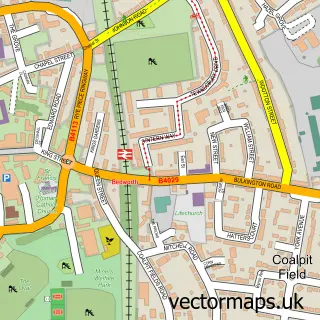
This Bulkington street map is a detailed vector street map covering a 750m x 750m area. Select a larger area to create and download your own vector street map of Bulkington.
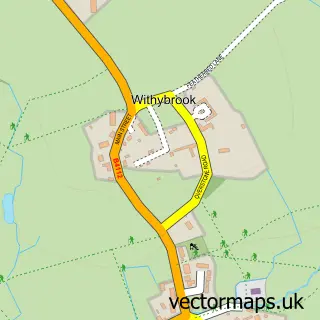
The 750-metre map sample for Bulkington covers 386 mapped buildings and approximately 23.8 km of road detail, of which 26 named roads are named. The immediate area includes 2 GP surgeries, with 3 within 2 miles, 3 pubs and 1 MOT station, with 4 within 2 miles. The wider area around Bulkington features 1 tourism point of interest and 5 food and drink venues. To create a larger or custom map of Bulkington, the map builder lets you define your own coverage area and download editable SVG, PDF and PNG files.
Create a larger editable map of Bulkington
Choose any area you need and generate a high-quality vector map instantly. Perfect for print, planning, design, business and personal use.

This Bulkington street map in Warwickshire is available as downloadable SVG, PDF and PNG map files, or as a printed map for planning, business, display, education, local information and design work. You can also create a larger custom map area using the map selector.
What this Bulkington map sample shows
Bulkington lies within Warwickshire County parish, part of Bulkington ward in the Nuneaton And Bedworth District (B) local authority area. The postcode geography for this area includes the CV postcode area, the CV12 postcode district and the CV12 9 postcode sector. Residents fall under the Nhs Coventry And Warwickshire Integrated Care Board for NHS services.
Local features near Bulkington
Within 2 milesAmenities and services in and around Bulkington.
Administrative and postcode information for Bulkington
The local authority covering Bulkington is Nuneaton And Bedworth District (B), within the county of Warwickshire. The settlement lies within Bulkington ward and Warwickshire County civil parish. The CV12 postcode district and CV12 9 postcode sector serve the immediate area. NHS provision in the area is delivered through George Eliot Hospital Nhs Trust.
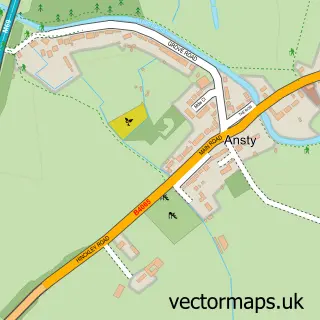
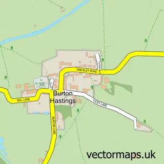
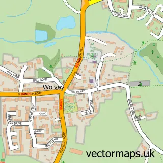
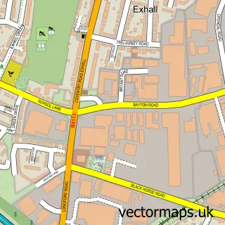
Nearby street map samples around Bulkington

More street maps in Warwickshire
750 metre map area coverage
Boundary, postcode and point of interest information for the 750m x 750m rectangle centred on this sample map.
Boundaries containing map centre
Constituency: Rugby Co Const
County: Warwickshire County
District: Nuneaton and Bedworth District (B)
Icb: NHS Coventry and Warwickshire ICB
Police Force: warwickshire
Postcode District: CV12
Postcode Sector: CV12 9
Ward: Bulkington Ward
Nearby boundaries intersecting sample
No additional intersecting boundaries found.
Postcode coverage
POI category counts
Beauty Salon: 5
Flowers And Gifts Shop: 4
Church Cathedral: 3
Convenience Store: 3
Grocery Store: 3
Hair Salon: 3
Pub: 3
Tattoo And Piercing: 3
Cafe: 2
Charity Organization: 2
Sample points of interest
- Bulkington - St. James
- Global Care
- Bulkington D.I.Y
- Leonard Perkins House
- BR Spar Bulkington
- Just Volkswagen
- Coventry Building Society
- The White Lion
- Blissed Aesthetics
- Demi-Rays
- Fabulously Flawless
- House of Beauty
Create a larger editable map of Bulkington
This sample shows only a 750 metre area. To create a larger map of Bulkington, use our map builder to choose your own coverage area, add titles and download editable SVG, PDF and PNG files.
Create a custom map of Bulkington