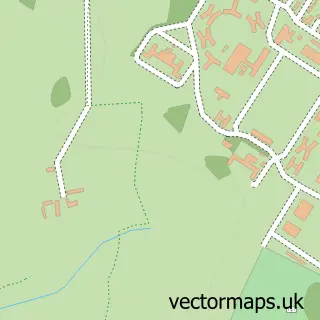
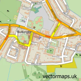
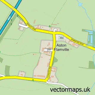
This Burton Hastings street map is a detailed vector street map covering a 750m x 750m area. Select a larger area to create and download your own vector street map of Burton Hastings.
The 750-metre map sample for Burton Hastings covers 75 mapped buildings and approximately 11.8 km of road detail, of which 6 named roads are named. The immediate area includes 1 GP surgery within 2 miles and 4 MOT stations within 2 miles. To create a larger or custom map of Burton Hastings, the map builder lets you define your own coverage area and download editable SVG, PDF and PNG files.
Create a larger editable map of Burton Hastings
Choose any area you need and generate a high-quality vector map instantly. Perfect for print, planning, design, business and personal use.

This Burton Hastings street map in Warwickshire is available as downloadable SVG, PDF and PNG map files, or as a printed map for planning, business, display, education, local information and design work. You can also create a larger custom map area using the map selector.
What this Burton Hastings map sample shows
Burton Hastings lies within Burton Hastings Cp parish, part of Wolvey And Shilton ward in the Rugby District (B) local authority area. The postcode geography for this area includes the CV postcode area, the CV11 postcode district and the CV11 6 postcode sector. Residents fall under the Nhs Coventry And Warwickshire Integrated Care Board for NHS services.
Local features near Burton Hastings
Within 2 milesAmenities and services in and around Burton Hastings.
Administrative and postcode information for Burton Hastings
Burton Hastings lies within Burton Hastings Cp parish, part of Wolvey And Shilton ward in the Rugby District (B) local authority area. The postcode geography for this area includes the CV postcode area, the CV11 postcode district and the CV11 6 postcode sector. Residents fall under the Nhs Coventry And Warwickshire Integrated Care Board for NHS services.
Nearby street map samples around Burton Hastings
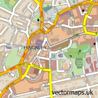

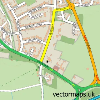
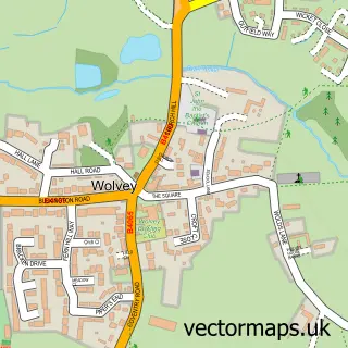
More street maps in Warwickshire
750 metre map area coverage
Boundary, postcode and point of interest information for the 750m x 750m rectangle centred on this sample map.
Boundaries containing map centre
Constituency: Rugby Co Const
County: Warwickshire County
District: Rugby District (B)
Icb: NHS Coventry and Warwickshire ICB
Parish: Burton Hastings CP
Police Force: warwickshire
Postcode District: CV11
Postcode Sector: CV11 6
Ward: Wolvey and Shilton Ward
Nearby boundaries intersecting sample
No additional intersecting boundaries found.
Postcode coverage
POI category counts
Building Supply Store: 1
Church Cathedral: 1
Door Sales Service: 1
Machine And Tool Rentals: 1
Professional Services: 1
Sample points of interest
- AB Electrical Engineers
- St Botolph's Church
- UK Oak Doors Ltd.
- D Callington
- Tracey Reynolds Photography
Create a larger editable map of Burton Hastings
This sample shows only a 750 metre area. To create a larger map of Burton Hastings, use our map builder to choose your own coverage area, add titles and download editable SVG, PDF and PNG files.
Create a custom map of Burton Hastings