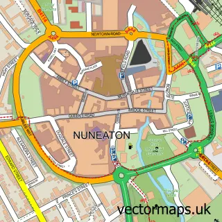
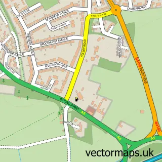
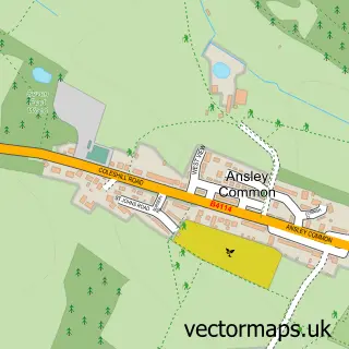
This Horeston Grange street map is a detailed vector street map covering a 750m x 750m area. Select a larger area to create and download your own vector street map of Horeston Grange.
The 750-metre map sample for Horeston Grange covers 412 mapped buildings and approximately 29.4 km of road detail, of which 31 named roads are named. The immediate area includes 9 GP surgeries within 2 miles and 34 MOT stations within 2 miles. The wider area around Horeston Grange features 2 tourism points of interest and 2 food and drink venues. To create a larger or custom map of Horeston Grange, the map builder lets you define your own coverage area and download editable SVG, PDF and PNG files.
Create a larger editable map of Horeston Grange
Choose any area you need and generate a high-quality vector map instantly. Perfect for print, planning, design, business and personal use.

This Horeston Grange street map in Warwickshire is available as downloadable SVG, PDF and PNG map files, or as a printed map for planning, business, display, education, local information and design work. You can also create a larger custom map area using the map selector.
What this Horeston Grange map sample shows
Horeston Grange lies within Warwickshire County parish, part of St Nicolas ward in the Nuneaton And Bedworth District (B) local authority area. The postcode geography for this area includes the CV postcode area, the CV11 postcode district and the CV11 6 postcode sector. Residents fall under the Nhs Coventry And Warwickshire Integrated Care Board for NHS services.
Local features near Horeston Grange
Within 2 milesAmenities and services in and around Horeston Grange.
Administrative and postcode information for Horeston Grange
Horeston Grange lies within Warwickshire County parish, part of St Nicolas ward in the Nuneaton And Bedworth District (B) local authority area. The postcode geography for this area includes the CV postcode area, the CV11 postcode district and the CV11 6 postcode sector. Residents fall under the Nhs Coventry And Warwickshire Integrated Care Board for NHS services.
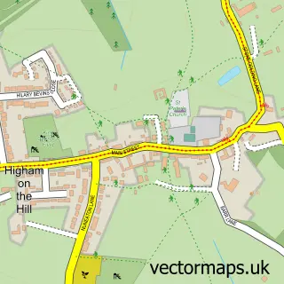
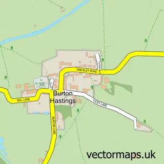
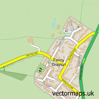
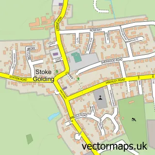
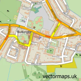
Nearby street map samples around Horeston Grange

More street maps in Warwickshire
750 metre map area coverage
Boundary, postcode and point of interest information for the 750m x 750m rectangle centred on this sample map.
Boundaries containing map centre
Constituency: Nuneaton Co Const
County: Warwickshire County
District: Nuneaton and Bedworth District (B)
Icb: NHS Coventry and Warwickshire ICB
Police Force: warwickshire
Postcode District: CV11
Postcode Sector: CV11 6
Ward: St. Nicolas Ward
Nearby boundaries intersecting sample
No additional intersecting boundaries found.
Postcode coverage
POI category counts
Building Supply Store: 2
Convenience Store: 2
Gardener: 2
Gas Station: 2
It Service And Computer Repair: 2
Metal Fabricator: 2
Package Locker: 2
Professional Services: 2
Retail: 2
Advertising Agency: 1
Sample points of interest
- Wilkinson Printers
- Tiverton Drive Care Home
- Nuneaton Bowling Club
- Beauty.ByKerry
- Ledz Electrical
- Ward & Roe Builders Merchant
- FindaBiz Ltd.
- JDR Products LTD
- Lola's Chocolate Box
- Vag-Merc at ANKER Service Station
- Chris Ward Cleaning Services
- Clearview Aerials
Create a larger editable map of Horeston Grange
This sample shows only a 750 metre area. To create a larger map of Horeston Grange, use our map builder to choose your own coverage area, add titles and download editable SVG, PDF and PNG files.
Create a custom map of Horeston Grange