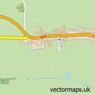
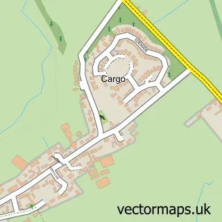
This Burgh by Sands street map is a detailed vector street map covering a 750m x 750m area. Select a larger area to create and download your own vector street map of Burgh by Sands.
The 750-metre map sample for Burgh by Sands covers 118 mapped buildings and approximately 7.6 km of road detail, of which 6 named roads are named. The immediate area includes 1 pub and 1 MOT station within 2 miles. The wider area around Burgh by Sands features 1 tourism point of interest and 1 food and drink venue. To create a larger or custom map of Burgh by Sands, the map builder lets you define your own coverage area and download editable SVG, PDF and PNG files.
Create a larger editable map of Burgh by Sands
Choose any area you need and generate a high-quality vector map instantly. Perfect for print, planning, design, business and personal use.

This Burgh by Sands street map in Cumbria is available as downloadable SVG, PDF and PNG map files, or as a printed map for planning, business, display, education, local information and design work. You can also create a larger custom map area using the map selector.
What this Burgh by Sands map sample shows
Burgh by Sands lies within Burgh By Sands Cp parish, part of Dalston & Burgh ward in the Cumberland local authority area. The postcode geography for this area includes the CA postcode area, the CA5 postcode district and the CA5 6 postcode sector. Residents fall under the Nhs North East And North Cumbria Integrated Care Board for NHS services.
Local features near Burgh by Sands
Within 2 milesAmenities and services in and around Burgh by Sands.
Administrative and postcode information for Burgh by Sands
Burgh by Sands lies within Burgh By Sands Cp parish, part of Dalston & Burgh ward in the Cumberland local authority area. The postcode geography for this area includes the CA postcode area, the CA5 postcode district and the CA5 6 postcode sector. Residents fall under the Nhs North East And North Cumbria Integrated Care Board for NHS services.
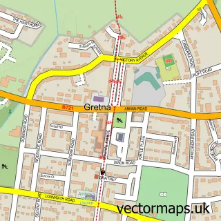
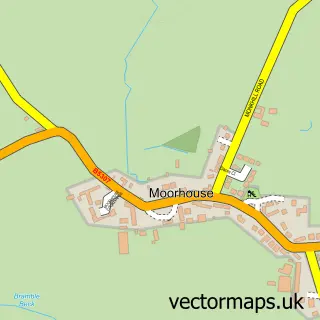
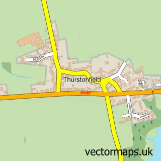
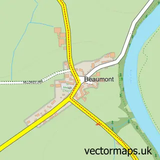
Nearby street map samples around Burgh by Sands

More street maps in Cumbria
750 metre map area coverage
Boundary, postcode and point of interest information for the 750m x 750m rectangle centred on this sample map.
Boundaries containing map centre
Constituency: Penrith and Solway Co Const
District: Cumberland
Icb: NHS North East and North Cumbria ICB
Parish: Burgh By Sands CP
Police Force: cumbria
Postcode District: CA5
Postcode Sector: CA5 6
Ward: Dalston and Burgh Ward
Nearby boundaries intersecting sample
No additional intersecting boundaries found.
Postcode coverage
POI category counts
Altering And Remodeling Contractor: 1
Electrician: 1
Furniture Accessory Store: 1
Landmark And Historical Building: 1
Livestock Breeder: 1
Post Office: 1
Pub: 1
Public Transportation: 1
Train Station: 1
Transportation: 1
Sample points of interest
- Ace Space Loft Conversions
- Andy Heap
- Jacob Pawle Furniture Design
- Milecastle 72
- King Garth Alpacas
- Burgh By Sands Post Office
- The Greyhound Inn
- Post Office-Burgh By Sands
- Burgh-by-Sands railway station
- Go Cumbria Motorhome Hire
Create a larger editable map of Burgh by Sands
This sample shows only a 750 metre area. To create a larger map of Burgh by Sands, use our map builder to choose your own coverage area, add titles and download editable SVG, PDF and PNG files.
Create a custom map of Burgh by Sands