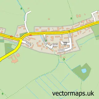
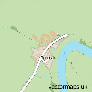
This Moorhouse street map is a detailed vector street map covering a 750m x 750m area. Select a larger area to create and download your own vector street map of Moorhouse.
The 750-metre map sample for Moorhouse covers 96 mapped buildings and approximately 13.2 km of road detail, of which 2 named roads are named. The immediate area includes 1 pub and 1 MOT station within 2 miles. The wider area around Moorhouse features 1 tourism point of interest and 1 food and drink venue. To create a larger or custom map of Moorhouse, the map builder lets you define your own coverage area and download editable SVG, PDF and PNG files.
Create a larger editable map of Moorhouse
Choose any area you need and generate a high-quality vector map instantly. Perfect for print, planning, design, business and personal use.

This Moorhouse street map in Cumbria is available as downloadable SVG, PDF and PNG map files, or as a printed map for planning, business, display, education, local information and design work. You can also create a larger custom map area using the map selector.
What this Moorhouse map sample shows
Moorhouse lies within Burgh By Sands Cp parish, part of Dalston & Burgh ward in the Cumberland local authority area. The postcode geography for this area includes the CA postcode area, the CA5 postcode district and the CA5 6 postcode sector. Residents fall under the Nhs North East And North Cumbria Integrated Care Board for NHS services.
Local features near Moorhouse
Within 2 milesAmenities and services in and around Moorhouse.
Administrative and postcode information for Moorhouse
Moorhouse lies within Burgh By Sands Cp parish, part of Dalston & Burgh ward in the Cumberland local authority area. The postcode geography for this area includes the CA postcode area, the CA5 postcode district and the CA5 6 postcode sector. Residents fall under the Nhs North East And North Cumbria Integrated Care Board for NHS services.
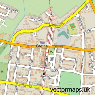
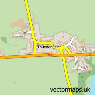
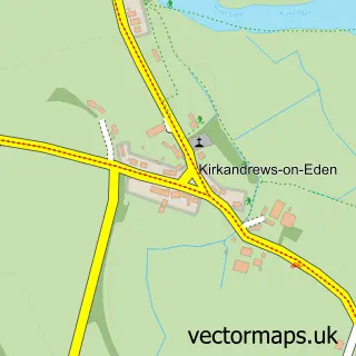
Nearby street map samples around Moorhouse

More street maps in Cumbria
750 metre map area coverage
Boundary, postcode and point of interest information for the 750m x 750m rectangle centred on this sample map.
Boundaries containing map centre
Constituency: Penrith and Solway Co Const
District: Cumberland
Icb: NHS North East and North Cumbria ICB
Parish: Burgh By Sands CP
Police Force: cumbria
Postcode District: CA5
Postcode Sector: CA5 6
Ward: Dalston and Burgh Ward
Nearby boundaries intersecting sample
No additional intersecting boundaries found.
Postcode coverage
POI category counts
Building Supply Store: 1
Delicatessen: 1
Hair Salon: 1
Inn: 1
Jewelry And Watches Manufacturer: 1
Landmark And Historical Building: 1
Pet Services: 1
Pub: 1
Sample points of interest
- Kirkaldy & Roe Ltd
- StoneHouse Smokery
- Creative Image
- The Royal Oak Inn Moorhouse
- Jocaule Jewellery Workshop
- Moorhouse, Cumbria
- Stonehouse Cattery
- Royal Oak
Create a larger editable map of Moorhouse
This sample shows only a 750 metre area. To create a larger map of Moorhouse, use our map builder to choose your own coverage area, add titles and download editable SVG, PDF and PNG files.
Create a custom map of Moorhouse