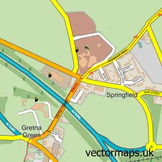
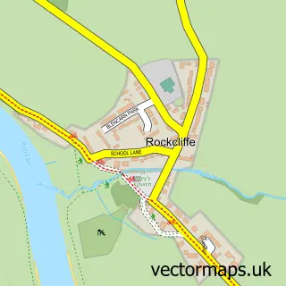
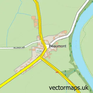
This Gretna street map is a detailed vector street map covering a 750m x 750m area. Select a larger area to create and download your own vector street map of Gretna.
The 750-metre map sample for Gretna covers 435 mapped buildings and approximately 18.9 km of road detail, of which 30 named roads are named. The immediate area includes 1 GP surgery and 1 MOT station within 2 miles. The wider area around Gretna features 2 tourism points of interest, 2 food and drink venues and 5 hotels. To create a larger or custom map of Gretna, the map builder lets you define your own coverage area and download editable SVG, PDF and PNG files.
Create a larger editable map of Gretna
Choose any area you need and generate a high-quality vector map instantly. Perfect for print, planning, design, business and personal use.

This Gretna street map in Dumfries is available as downloadable SVG, PDF and PNG map files, or as a printed map for planning, business, display, education, local information and design work. You can also create a larger custom map area using the map selector.
What this Gretna map sample shows
Gretna lies within Dumfries And Galloway parish, part of Annandale East And Eskdale ward in the Dumfries And Galloway local authority area. The postcode geography for this area includes the DG postcode area, the DG16 postcode district and the DG16 5 postcode sector. Residents fall under the Dumfries And Galloway for NHS services.
Local features near Gretna
Within 2 milesAmenities and services in and around Gretna.
Administrative and postcode information for Gretna
The local authority covering Gretna is Dumfries And Galloway, within the county of Dumfries. The settlement lies within Annandale East And Eskdale ward and Dumfries And Galloway civil parish. The DG16 postcode district and DG16 5 postcode sector serve the immediate area. NHS provision in the area is delivered through Dumfries And Galloway.
Nearby street map samples around Gretna

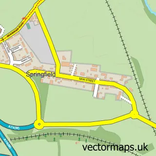
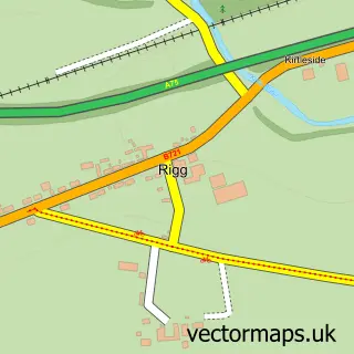
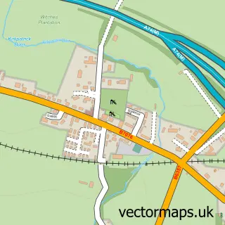
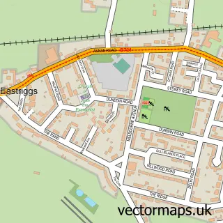
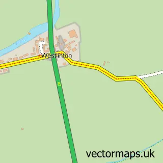
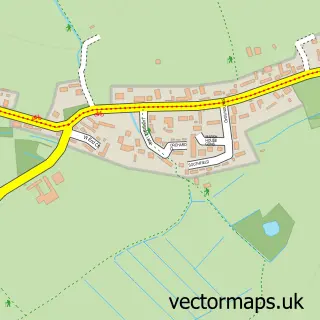
More street maps in Dumfries
750 metre map area coverage
Boundary, postcode and point of interest information for the 750m x 750m rectangle centred on this sample map.
Boundaries containing map centre
Constituency: Dumfriesshire, Clydesdale and Tweeddale Co Const
District: Dumfries and Galloway
Icb: Dumfries and Galloway
Postcode District: DG16
Postcode Sector: DG16 5
Ward: Annandale East and Eskdale Ward
Nearby boundaries intersecting sample
No additional intersecting boundaries found.
Postcode coverage
POI category counts
Beauty Salon: 7
Hotel: 5
Sports Club And League: 4
Event Planning: 3
Bank Credit Union: 2
Bed And Breakfast: 2
Building Supply Store: 2
Church Cathedral: 2
Convenience Store: 2
Dentist: 2
Sample points of interest
- Gretna Service Centre
- Gretna Bakery
- Cumberland Building Society
- The Cumberland
- Royal Bank of Scotland
- Make Me Blush
- Bliss Hair and Beauty
- Diamond Beauty By Helen
- Flawless Beauty Artistry
- Hype
- Lorraine’s Hair Design Gretna
- SLA Beauty
Create a larger editable map of Gretna
This sample shows only a 750 metre area. To create a larger map of Gretna, use our map builder to choose your own coverage area, add titles and download editable SVG, PDF and PNG files.
Create a custom map of Gretna