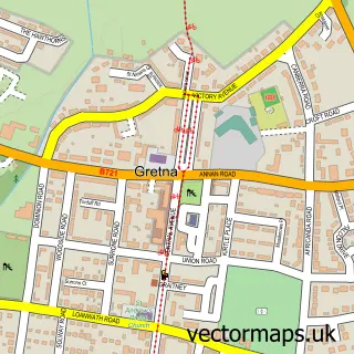
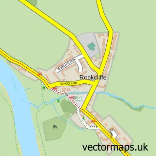
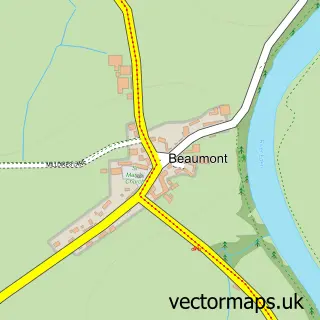
This Gretna Green street map is a detailed vector street map covering a 750m x 750m area. Select a larger area to create and download your own vector street map of Gretna Green.
The 750-metre map sample for Gretna Green covers 87 mapped buildings and approximately 24.0 km of road detail, of which 9 named roads are named. The immediate area includes 1 GP surgery within 2 miles and 1 MOT station within 2 miles. The wider area around Gretna Green features 1 food and drink venue and 9 hotels. To create a larger or custom map of Gretna Green, the map builder lets you define your own coverage area and download editable SVG, PDF and PNG files.
Create a larger editable map of Gretna Green
Choose any area you need and generate a high-quality vector map instantly. Perfect for print, planning, design, business and personal use.

This Gretna Green street map in Dumfries is available as downloadable SVG, PDF and PNG map files, or as a printed map for planning, business, display, education, local information and design work. You can also create a larger custom map area using the map selector.
What this Gretna Green map sample shows
Gretna Green lies within Dumfries And Galloway parish, part of Annandale East And Eskdale ward in the Dumfries And Galloway local authority area. The postcode geography for this area includes the DG postcode area, the DG16 postcode district and the DG16 5 postcode sector. Residents fall under the Dumfries And Galloway for NHS services.
Local features near Gretna Green
Within 2 milesAmenities and services in and around Gretna Green.
Administrative and postcode information for Gretna Green
Gretna Green lies within Dumfries And Galloway parish, part of Annandale East And Eskdale ward in the Dumfries And Galloway local authority area. The postcode geography for this area includes the DG postcode area, the DG16 postcode district and the DG16 5 postcode sector. Residents fall under the Dumfries And Galloway for NHS services.
Nearby street map samples around Gretna Green

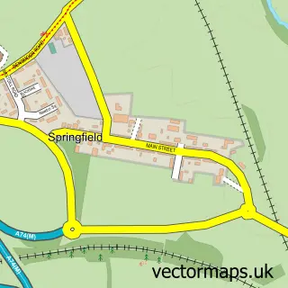
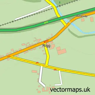
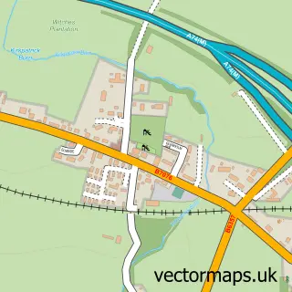
More street maps in Dumfries
750 metre map area coverage
Boundary, postcode and point of interest information for the 750m x 750m rectangle centred on this sample map.
Boundaries containing map centre
Constituency: Dumfriesshire, Clydesdale and Tweeddale Co Const
District: Dumfries and Galloway
Icb: Dumfries and Galloway
Postcode District: DG16
Postcode Sector: DG16 5
Ward: Annandale East and Eskdale Ward
Nearby boundaries intersecting sample
No additional intersecting boundaries found.
Postcode coverage
POI category counts
Hotel: 9
Bed And Breakfast: 6
American Restaurant: 1
Arts And Entertainment: 1
Beauty Salon: 1
Church Cathedral: 1
Clothing Store: 1
Convenience Store: 1
Cottage: 1
Ev Charging Station: 1
Sample points of interest
- Blacksmiths Restaurant
- Scotland/England Border Gretna Green Old Black Smith Shop
- Spoilt Hair & Beauty
- Anvil View Guest House
- Fernlea Bed and Breakfast
- Greenlaw Guest House
- Kirkcroft Guest House
- Prince Charlie's Cottage
- Rhone Villa
- Gretna Old Parish Church
- Gretna Green Since 1754
- Springfield Stores
Create a larger editable map of Gretna Green
This sample shows only a 750 metre area. To create a larger map of Gretna Green, use our map builder to choose your own coverage area, add titles and download editable SVG, PDF and PNG files.
Create a custom map of Gretna Green