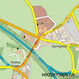
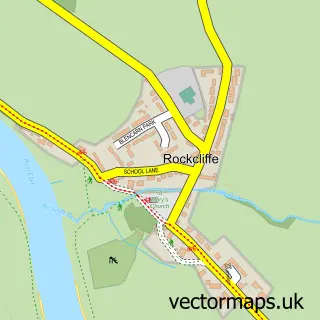
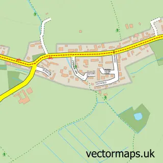
This Springfield street map is a detailed vector street map covering a 750m x 750m area. Select a larger area to create and download your own vector street map of Springfield.
The 750-metre map sample for Springfield covers 85 mapped buildings and approximately 14.5 km of road detail, of which 5 named roads are named. The immediate area includes 1 GP surgery within 2 miles, 3 pubs and 1 MOT station within 2 miles. The wider area around Springfield features 3 food and drink venues. To create a larger or custom map of Springfield, the map builder lets you define your own coverage area and download editable SVG, PDF and PNG files.
Create a larger editable map of Springfield
Choose any area you need and generate a high-quality vector map instantly. Perfect for print, planning, design, business and personal use.

This Springfield street map in Dumfries is available as downloadable SVG, PDF and PNG map files, or as a printed map for planning, business, display, education, local information and design work. You can also create a larger custom map area using the map selector.
What this Springfield map sample shows
Springfield lies within Dumfries And Galloway parish, part of Annandale East And Eskdale ward in the Dumfries And Galloway local authority area. The postcode geography for this area includes the DG postcode area, the DG16 postcode district and the DG16 5 postcode sector. Residents fall under the Dumfries And Galloway for NHS services.
Local features near Springfield
Within 2 milesAmenities and services in and around Springfield.
Administrative and postcode information for Springfield
The local authority covering Springfield is Dumfries And Galloway, within the county of Dumfries. The settlement lies within Annandale East And Eskdale ward and Dumfries And Galloway civil parish. The DG16 postcode district and DG16 5 postcode sector serve the immediate area. NHS provision in the area is delivered through Dumfries And Galloway.
Nearby street map samples around Springfield
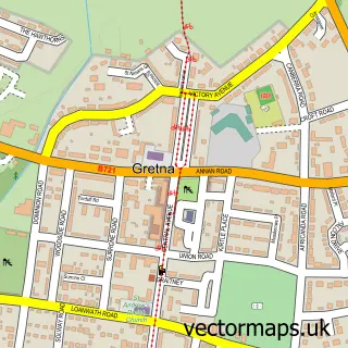

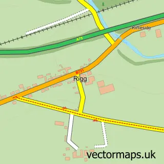
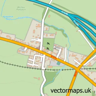
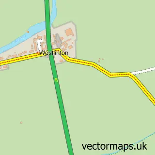
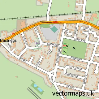
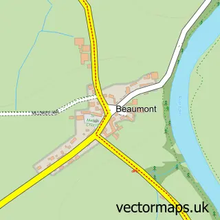
More street maps in Dumfries
750 metre map area coverage
Boundary, postcode and point of interest information for the 750m x 750m rectangle centred on this sample map.
Boundaries containing map centre
Constituency: Dumfriesshire, Clydesdale and Tweeddale Co Const
District: Dumfries and Galloway
Icb: Dumfries and Galloway
Postcode District: DG16
Postcode Sector: DG16 5
Ward: Annandale East and Eskdale Ward
Nearby boundaries intersecting sample
Constituency: Carlisle Co Const
District: Cumberland
Icb: NHS North East and North Cumbria ICB
Parish: Kirkandrews CP
Postcode District: CA6
Postcode Sector: CA6 5
Ward: Longtown Ward
Postcode coverage
POI category counts
Wedding Planning: 5
Pub: 3
Post Office: 2
Convenience Store: 1
Engineering Services: 1
Pet Boarding: 1
Pizza Restaurant: 1
Sample points of interest
- Springfield Stores
- Ignite Kevin Jones Gas & Heating
- Redgates Boarding Kennels & Cattery
- Solway Pizzeria
- Gretna Green Post Office
- Post Office-Gretna Green
- Queens Head | Gretna Green
- The Queens Head
- The Queens Head
- Gretna Green Wedding Planners
- The Gretna Green Wedding Planners
- The Wedding Planner at Gretna Green
Create a larger editable map of Springfield
This sample shows only a 750 metre area. To create a larger map of Springfield, use our map builder to choose your own coverage area, add titles and download editable SVG, PDF and PNG files.
Create a custom map of Springfield