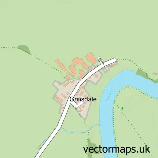
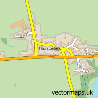
This Kirkandrews-on-Eden street map is a detailed vector street map covering a 750m x 750m area. Select a larger area to create and download your own vector street map of Kirkandrews-on-Eden.
The 750-metre map sample for Kirkandrews-on-Eden covers 54 mapped buildings and approximately 9.4 km of road detail, of which 1 named road are named. The immediate area includes 2 MOT stations within 2 miles. To create a larger or custom map of Kirkandrews-on-Eden, the map builder lets you define your own coverage area and download editable SVG, PDF and PNG files.
Create a larger editable map of Kirkandrews-on-Eden
Choose any area you need and generate a high-quality vector map instantly. Perfect for print, planning, design, business and personal use.

This Kirkandrews-on-Eden street map in Cumbria is available as downloadable SVG, PDF and PNG map files, or as a printed map for planning, business, display, education, local information and design work. You can also create a larger custom map area using the map selector.
What this Kirkandrews-on-Eden map sample shows
Kirkandrews-on-Eden lies within Beaumont Cp parish, part of Dalston & Burgh ward in the Cumberland local authority area. The postcode geography for this area includes the CA postcode area, the CA5 postcode district and the CA5 6 postcode sector. Residents fall under the Nhs North East And North Cumbria Integrated Care Board for NHS services.
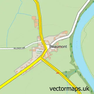
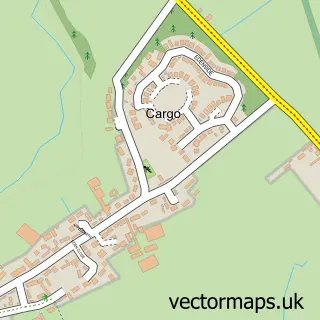
Local features near Kirkandrews-on-Eden
Within 2 milesAmenities and services in and around Kirkandrews-on-Eden.
Administrative and postcode information for Kirkandrews-on-Eden
The local authority covering Kirkandrews-on-Eden is Cumberland, within the county of Cumbria. The settlement lies within Dalston & Burgh ward and Beaumont Cp civil parish. The CA5 postcode district and CA5 6 postcode sector serve the immediate area. NHS provision in the area is delivered through North Cumbria Integrated Care Nhs Foundation Trust.
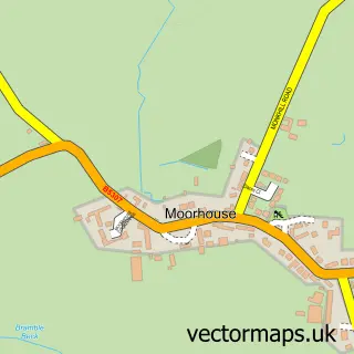
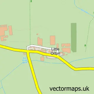
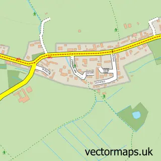
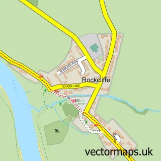
Nearby street map samples around Kirkandrews-on-Eden

More street maps in Cumbria
750 metre map area coverage
Boundary, postcode and point of interest information for the 750m x 750m rectangle centred on this sample map.
Boundaries containing map centre
Constituency: Penrith and Solway Co Const
District: Cumberland
Icb: NHS North East and North Cumbria ICB
Parish: Beaumont CP
Police Force: cumbria
Postcode District: CA5
Postcode Sector: CA5 6
Ward: Dalston and Burgh Ward
Nearby boundaries intersecting sample
Postcode District: CA6
Postcode Sector: CA6 4
Postcode coverage
POI category counts
Adult Education: 1
Cottage: 1
Event Planning: 1
Professional Services: 1
Train Station: 1
Sample points of interest
- Vallum Tutors
- Hollow Creek
- Beaumont Parish Hall Cumbria
- J Nicholson & Sons
- Kirkandrews railway station
Create a larger editable map of Kirkandrews-on-Eden
This sample shows only a 750 metre area. To create a larger map of Kirkandrews-on-Eden, use our map builder to choose your own coverage area, add titles and download editable SVG, PDF and PNG files.
Create a custom map of Kirkandrews-on-Eden