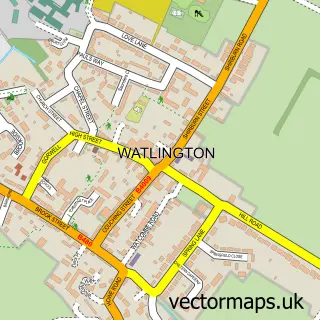
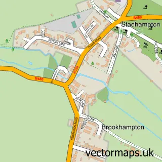
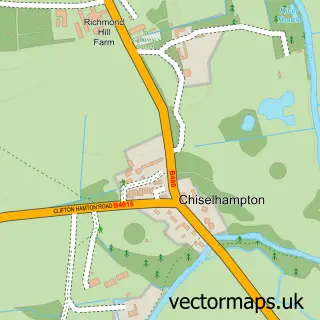
This Chalgrove street map is a detailed vector street map covering a 750m x 750m area. Select a larger area to create and download your own vector street map of Chalgrove.
The 750-metre map sample for Chalgrove covers 451 mapped buildings and approximately 15.7 km of road detail, of which 35 named roads are named. The immediate area includes 1 school, 3 pubs and 1 MOT station within 2 miles. The wider area around Chalgrove features 1 tourism point of interest and 3 food and drink venues. To create a larger or custom map of Chalgrove, the map builder lets you define your own coverage area and download editable SVG, PDF and PNG files.
Create a larger editable map of Chalgrove
Choose any area you need and generate a high-quality vector map instantly. Perfect for print, planning, design, business and personal use.

This Chalgrove street map in Oxfordshire is available as downloadable SVG, PDF and PNG map files, or as a printed map for planning, business, display, education, local information and design work. You can also create a larger custom map area using the map selector.
What this Chalgrove map sample shows
Chalgrove lies within Chalgrove Cp parish, part of Chalgrove ward in the South Oxfordshire District local authority area. The postcode geography for this area includes the OX postcode area, the OX44 postcode district and the OX44 7 postcode sector. Residents fall under the Nhs Buckinghamshire, Oxfordshire And Berkshire West Integrated Care Board for NHS services.
Local features near Chalgrove
Within 2 milesAmenities and services in and around Chalgrove.
Administrative and postcode information for Chalgrove
Chalgrove lies within Chalgrove Cp parish, part of Chalgrove ward in the South Oxfordshire District local authority area. The postcode geography for this area includes the OX postcode area, the OX44 postcode district and the OX44 7 postcode sector. Residents fall under the Nhs Buckinghamshire, Oxfordshire And Berkshire West Integrated Care Board for NHS services.
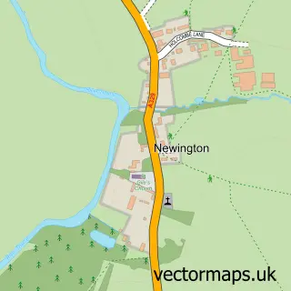
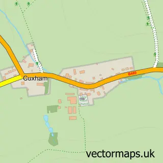
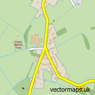
Nearby street map samples around Chalgrove

More street maps in Oxfordshire
750 metre map area coverage
Boundary, postcode and point of interest information for the 750m x 750m rectangle centred on this sample map.
Boundaries containing map centre
Constituency: Henley and Thame Co Const
County: Oxfordshire County
District: South Oxfordshire District
Icb: NHS Thames Valley ICB
Parish: Chalgrove CP
Police Force: thames valley
Postcode District: OX44
Postcode Sector: OX44 7
Ward: Chalgrove Ward
Nearby boundaries intersecting sample
No additional intersecting boundaries found.
Postcode coverage
POI category counts
Education: 3
Pub: 3
Architectural Designer: 2
Contractor: 2
Convenience Store: 2
Elementary School: 2
Florist: 2
Public Service And Government: 2
Accountant: 1
Acupuncture: 1
Sample points of interest
- Chris Burgess Chartered Accountant and Chartered Tax Adviser
- The Acupuncture Barn
- Pat Jones & Associates
- Misbourne Design Associates
- Oxbridge Design and Detailing Services
- PayPoint
- Baker Lottie
- 1st Class Hair
- Post Office-Chalgrove
- Thinktrees Ltd.
- P M E Plastering
- Shape Up Developments
Create a larger editable map of Chalgrove
This sample shows only a 750 metre area. To create a larger map of Chalgrove, use our map builder to choose your own coverage area, add titles and download editable SVG, PDF and PNG files.
Create a custom map of Chalgrove