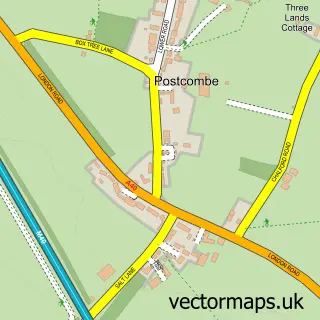
This Watlington street map is a detailed vector street map covering a 750m x 750m area. Select a larger area to create and download your own vector street map of Watlington.
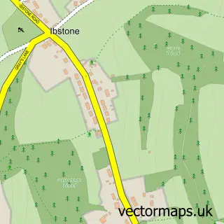
The 750-metre map sample for Watlington covers 387 mapped buildings and approximately 12.2 km of road detail, of which 27 named roads are named. The immediate area includes 1 primary school and 1 secondary school, 1 GP surgery within 2 miles and 2 pubs. The wider area around Watlington features 1 tourism point of interest and 5 food and drink venues. To create a larger or custom map of Watlington, the map builder lets you define your own coverage area and download editable SVG, PDF and PNG files.
Create a larger editable map of Watlington
Choose any area you need and generate a high-quality vector map instantly. Perfect for print, planning, design, business and personal use.

This Watlington street map in Oxfordshire is available as downloadable SVG, PDF and PNG map files, or as a printed map for planning, business, display, education, local information and design work. You can also create a larger custom map area using the map selector.
What this Watlington map sample shows
Watlington lies within Watlington Cp parish, part of Watlington ward in the South Oxfordshire District local authority area. The postcode geography for this area includes the OX postcode area, the OX49 postcode district and the OX49 5 postcode sector. Residents fall under the Nhs Buckinghamshire, Oxfordshire And Berkshire West Integrated Care Board for NHS services.
Local features near Watlington
Within 2 milesAmenities and services in and around Watlington.
Administrative and postcode information for Watlington
Watlington lies within Watlington Cp parish, part of Watlington ward in the South Oxfordshire District local authority area. The postcode geography for this area includes the OX postcode area, the OX49 postcode district and the OX49 5 postcode sector. Residents fall under the Nhs Buckinghamshire, Oxfordshire And Berkshire West Integrated Care Board for NHS services.
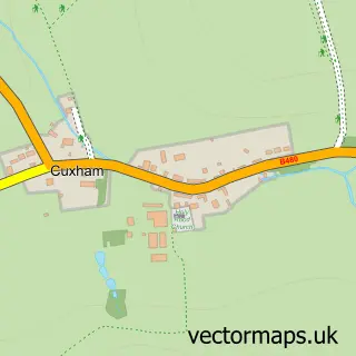
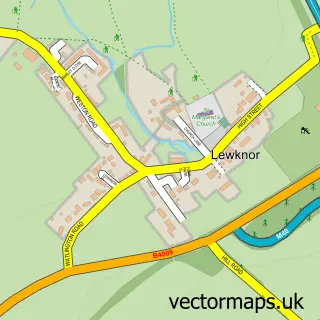
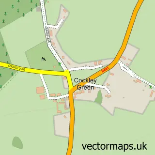
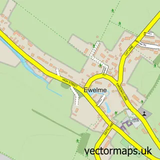
Nearby street map samples around Watlington

More street maps in Oxfordshire
750 metre map area coverage
Boundary, postcode and point of interest information for the 750m x 750m rectangle centred on this sample map.
Boundaries containing map centre
Constituency: Henley and Thame Co Const
County: Oxfordshire County
District: South Oxfordshire District
Icb: NHS Thames Valley ICB
Parish: Watlington CP
Police Force: thames valley
Postcode District: OX49
Postcode Sector: OX49 5
Ward: Watlington Ward
Nearby boundaries intersecting sample
No additional intersecting boundaries found.
Postcode coverage
POI category counts
Advertising Agency: 4
Convenience Store: 3
Gas Station: 3
Sports Club And League: 3
Beauty Salon: 2
Building Supply Store: 2
Cafe: 2
Community Services Non Profits: 2
Driving School: 2
Employment Agencies: 2
Sample points of interest
- Colophon
- Macrae Media Communication
- Madison York
- SCG Advertising
- Cross Antiques
- Purple Architects Ltd.
- Midcounties Co-Op Watlington
- Jones & Jacob
- Red Scaffolding
- Re-shine Auto Cosmetic Repair
- Biggles Hair And Beauty Salon
- Jessica Mary MUA
Create a larger editable map of Watlington
This sample shows only a 750 metre area. To create a larger map of Watlington, use our map builder to choose your own coverage area, add titles and download editable SVG, PDF and PNG files.
Create a custom map of Watlington