This Postcombe street map is a detailed vector street map covering a 750m x 750m area. Select a larger area to create and download your own vector street map of Postcombe.
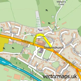
The 750-metre map sample for Postcombe covers 97 mapped buildings and approximately 41.9 km of road detail, of which 6 named roads are named. The immediate area includes 1 pub and 1 MOT station. The wider area around Postcombe features 1 tourism point of interest and 1 food and drink venue. To create a larger or custom map of Postcombe, the map builder lets you define your own coverage area and download editable SVG, PDF and PNG files.
Create a larger editable map of Postcombe
Choose any area you need and generate a high-quality vector map instantly. Perfect for print, planning, design, business and personal use.

This Postcombe street map in Oxfordshire is available as downloadable SVG, PDF and PNG map files, or as a printed map for planning, business, display, education, local information and design work. You can also create a larger custom map area using the map selector.
What this Postcombe map sample shows
Postcombe lies within Lewknor Cp parish, part of Haseley Brook ward in the South Oxfordshire District local authority area. The postcode geography for this area includes the OX postcode area, the OX9 postcode district and the OX9 7 postcode sector. Residents fall under the Nhs Buckinghamshire, Oxfordshire And Berkshire West Integrated Care Board for NHS services.
Local features near Postcombe
Within 2 milesAmenities and services in and around Postcombe.
Administrative and postcode information for Postcombe
The local authority covering Postcombe is South Oxfordshire District, within the county of Oxfordshire. The settlement lies within Haseley Brook ward and Lewknor Cp civil parish. The OX9 postcode district and OX9 7 postcode sector serve the immediate area. NHS provision in the area is delivered through Oxford University Hospitals Nhs Foundation Trust.
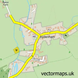
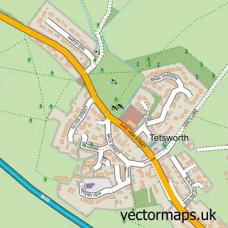
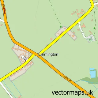
Nearby street map samples around Postcombe
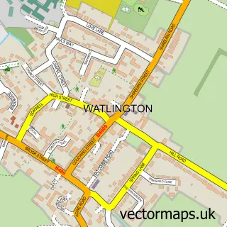

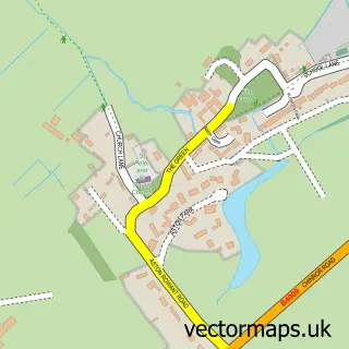
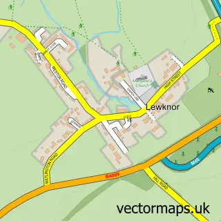
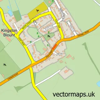
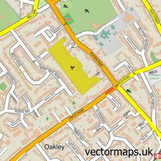
More street maps in Oxfordshire
750 metre map area coverage
Boundary, postcode and point of interest information for the 750m x 750m rectangle centred on this sample map.
Boundaries containing map centre
Constituency: Henley and Thame Co Const
County: Oxfordshire County
District: South Oxfordshire District
Icb: NHS Thames Valley ICB
Parish: Lewknor CP
Police Force: thames valley
Postcode District: OX9
Postcode Sector: OX9 7
Ward: Haseley Brook Ward
Nearby boundaries intersecting sample
Parish: Adwell CP, Aston Rowant CP
Ward: Chinnor Ward
Postcode coverage
POI category counts
Convenience Store: 4
Gas Station: 3
Arts And Entertainment: 1
Auto Electrical Repair: 1
Automotive Repair: 1
Beauty Salon: 1
Bed And Breakfast: 1
Forestry Service: 1
Hydraulic Equipment Supplier: 1
Landmark And Historical Building: 1
Sample points of interest
- Postcombe
- Anders Heating Company Ltd.
- V.C. Auto Repairs
- MayLee Beauty
- Beech Farm
- Londis
- Londis LONDIS - POSTCOMBE
- SPAR - Postcombe
- SPAR Postcombe
- Poplars Farm
- JET
- JET
Create a larger editable map of Postcombe
This sample shows only a 750 metre area. To create a larger map of Postcombe, use our map builder to choose your own coverage area, add titles and download editable SVG, PDF and PNG files.
Create a custom map of Postcombe