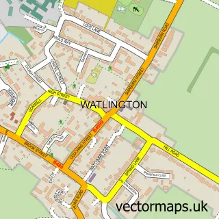
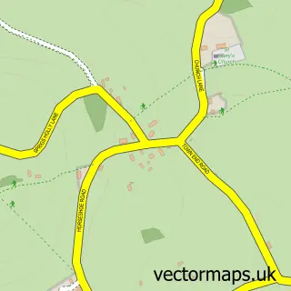
This Kingston Blount street map is a detailed vector street map covering a 750m x 750m area. Select a larger area to create and download your own vector street map of Kingston Blount.
The 750-metre map sample for Kingston Blount covers 184 mapped buildings and approximately 10.1 km of road detail, of which 11 named roads are named. The immediate area includes 3 MOT stations within 2 miles. The wider area around Kingston Blount features 1 tourism point of interest and 1 hotel. To create a larger or custom map of Kingston Blount, the map builder lets you define your own coverage area and download editable SVG, PDF and PNG files.
Create a larger editable map of Kingston Blount
Choose any area you need and generate a high-quality vector map instantly. Perfect for print, planning, design, business and personal use.

This Kingston Blount street map in Oxfordshire is available as downloadable SVG, PDF and PNG map files, or as a printed map for planning, business, display, education, local information and design work. You can also create a larger custom map area using the map selector.
What this Kingston Blount map sample shows
Kingston Blount lies within Aston Rowant Cp parish, part of Chinnor ward in the South Oxfordshire District local authority area. The postcode geography for this area includes the OX postcode area, the OX39 postcode district and the OX39 4 postcode sector. Residents fall under the Nhs Buckinghamshire, Oxfordshire And Berkshire West Integrated Care Board for NHS services.
Local features near Kingston Blount
Within 2 milesAmenities and services in and around Kingston Blount.
Administrative and postcode information for Kingston Blount
Kingston Blount lies within Aston Rowant Cp parish, part of Chinnor ward in the South Oxfordshire District local authority area. The postcode geography for this area includes the OX postcode area, the OX39 postcode district and the OX39 4 postcode sector. Residents fall under the Nhs Buckinghamshire, Oxfordshire And Berkshire West Integrated Care Board for NHS services.
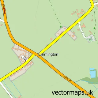
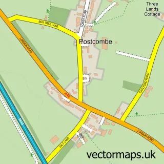
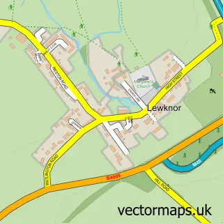
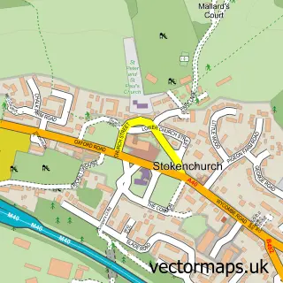
Nearby street map samples around Kingston Blount

More street maps in Oxfordshire
750 metre map area coverage
Boundary, postcode and point of interest information for the 750m x 750m rectangle centred on this sample map.
Boundaries containing map centre
Constituency: Henley and Thame Co Const
County: Oxfordshire County
District: South Oxfordshire District
Icb: NHS Thames Valley ICB
Parish: Aston Rowant CP
Police Force: thames valley
Postcode District: OX39
Postcode Sector: OX39 4
Ward: Chinnor Ward
Nearby boundaries intersecting sample
Parish: Crowell CP
Postcode coverage
POI category counts
Bed And Breakfast: 1
Church Cathedral: 1
Community Center: 1
Cricket Ground: 1
Farm: 1
Graphic Designer: 1
Hair Salon: 1
Hotel: 1
Landmark And Historical Building: 1
Skin Care: 1
Sample points of interest
- The Cherry Tree
- Chinnor Community Church
- Kingston Blount Village Hall
- Aston Rowant Cricket Club
- Town Farm
- Chiltern Graphics
- Meadowview Aesthetics Skin and Laser Specialist
- Lakeside Town Farm
- Kingston Blount
- MeadowView Aesthetics Skin and Laser Specialist
- Butt's Way
Create a larger editable map of Kingston Blount
This sample shows only a 750 metre area. To create a larger map of Kingston Blount, use our map builder to choose your own coverage area, add titles and download editable SVG, PDF and PNG files.
Create a custom map of Kingston Blount