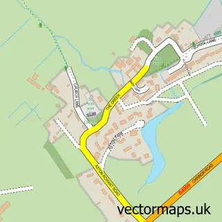
This Chinnor street map is a detailed vector street map covering a 750m x 750m area. Select a larger area to create and download your own vector street map of Chinnor.
The 750-metre map sample for Chinnor covers 578 mapped buildings and approximately 35.0 km of road detail, of which 45 named roads are named. The immediate area includes 1 school, 1 railway station, 2 pubs and 2 MOT stations, with 3 within 2 miles. The wider area around Chinnor features 2 tourism points of interest and 6 food and drink venues. To create a larger or custom map of Chinnor, the map builder lets you define your own coverage area and download editable SVG, PDF and PNG files.
Create a larger editable map of Chinnor
Choose any area you need and generate a high-quality vector map instantly. Perfect for print, planning, design, business and personal use.

This Chinnor street map in Oxfordshire is available as downloadable SVG, PDF and PNG map files, or as a printed map for planning, business, display, education, local information and design work. You can also create a larger custom map area using the map selector.
What this Chinnor map sample shows
Chinnor lies within Chinnor Cp parish, part of Chinnor ward in the South Oxfordshire District local authority area. The postcode geography for this area includes the OX postcode area, the OX39 postcode district and the OX39 4 postcode sector. Residents fall under the Nhs Buckinghamshire, Oxfordshire And Berkshire West Integrated Care Board for NHS services.
Local features near Chinnor
Within 2 milesAmenities and services in and around Chinnor.
Administrative and postcode information for Chinnor
The local authority covering Chinnor is South Oxfordshire District, within the county of Oxfordshire. The settlement lies within Chinnor ward and Chinnor Cp civil parish. The OX39 postcode district and OX39 4 postcode sector serve the immediate area. NHS provision in the area is delivered through Buckinghamshire Healthcare Nhs Trust.
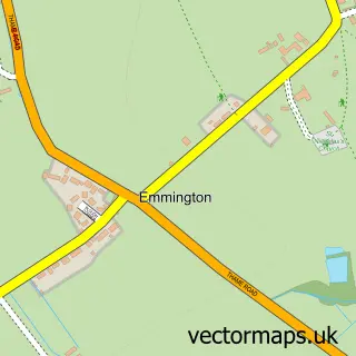
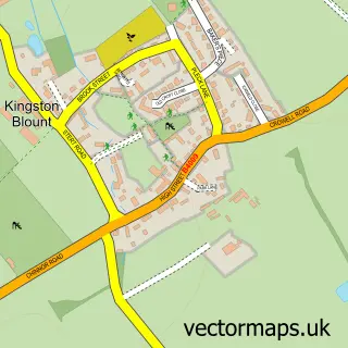
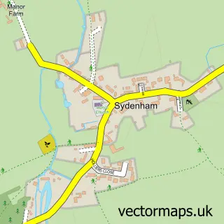
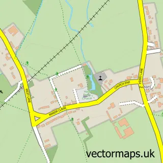
Nearby street map samples around Chinnor


More street maps in Oxfordshire
750 metre map area coverage
Boundary, postcode and point of interest information for the 750m x 750m rectangle centred on this sample map.
Boundaries containing map centre
Constituency: Henley and Thame Co Const
County: Oxfordshire County
District: South Oxfordshire District
Icb: NHS Thames Valley ICB
Parish: Chinnor CP
Police Force: thames valley
Postcode District: OX39
Postcode Sector: OX39 4
Ward: Chinnor Ward
Nearby boundaries intersecting sample
No additional intersecting boundaries found.
Postcode coverage
POI category counts
Automotive Repair: 5
Professional Services: 5
Scout Hall: 5
Advertising Agency: 4
Accountant: 3
Community Center: 3
Electrician: 3
Plumbing: 3
Building Supply Store: 2
Charity Organization: 2
Sample points of interest
- Akusika Business Services
- Fraser White Chartered Accountants
- Fraser White Chartered Accountants
- Blooberry Design
- Minx Design
- Steve Gunn & Associates
- Trenton Justin
- Chinnor Church, St Andrew's
- Farrelly Antiques
- Midcounties Co-Op Chinnor
- AR Automotive
- Birks Motor Engineers
Create a larger editable map of Chinnor
This sample shows only a 750 metre area. To create a larger map of Chinnor, use our map builder to choose your own coverage area, add titles and download editable SVG, PDF and PNG files.
Create a custom map of Chinnor