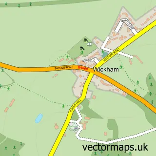
This Chilton Foliat street map is a detailed vector street map covering a 750m x 750m area. Select a larger area to create and download your own vector street map of Chilton Foliat.
The 750-metre map sample for Chilton Foliat covers 109 mapped buildings and approximately 7.6 km of road detail, of which 3 named roads are named. The immediate area includes 1 school, 1 GP surgery within 2 miles, 1 pub and 1 MOT station, with 6 within 2 miles. The wider area around Chilton Foliat features 1 food and drink venue. To create a larger or custom map of Chilton Foliat, the map builder lets you define your own coverage area and download editable SVG, PDF and PNG files.
Create a larger editable map of Chilton Foliat
Choose any area you need and generate a high-quality vector map instantly. Perfect for print, planning, design, business and personal use.

This Chilton Foliat street map in Wiltshire is available as downloadable SVG, PDF and PNG map files, or as a printed map for planning, business, display, education, local information and design work. You can also create a larger custom map area using the map selector.
What this Chilton Foliat map sample shows
Chilton Foliat lies within Chilton Foliat Cp parish, part of Aldbourne And Ramsbury ward in the Wiltshire local authority area. The postcode geography for this area includes the RG postcode area, the RG17 postcode district and the RG17 0 postcode sector. Residents fall under the Nhs Bath And North East Somerset, Swindon And Wiltshire Integrated Care Board for NHS services.
Local features near Chilton Foliat
Within 2 milesAmenities and services in and around Chilton Foliat.
Administrative and postcode information for Chilton Foliat
The local authority covering Chilton Foliat is Wiltshire, within the county of Wiltshire. The settlement lies within Aldbourne And Ramsbury ward and Chilton Foliat Cp civil parish. The RG17 postcode district and RG17 0 postcode sector serve the immediate area. NHS provision in the area is delivered through Great Western Hospitals Nhs Foundation Trust.
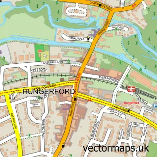
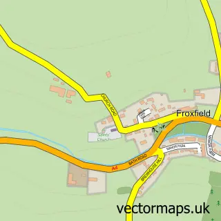
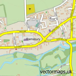
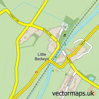
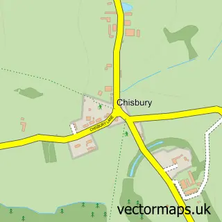
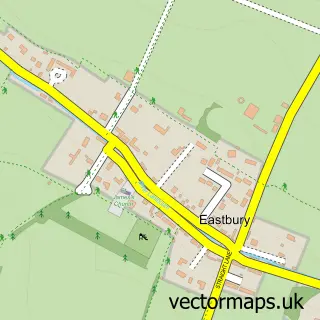
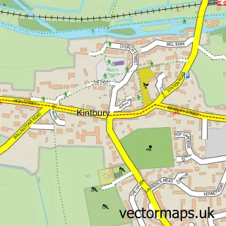
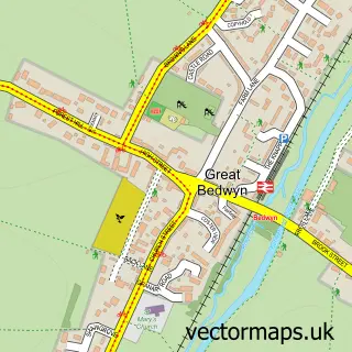
Nearby street map samples around Chilton Foliat

More street maps in Wiltshire
750 metre map area coverage
Boundary, postcode and point of interest information for the 750m x 750m rectangle centred on this sample map.
Boundaries containing map centre
Constituency: East Wiltshire Co Const
District: Wiltshire
Icb: NHS Bath and North East Somerset Swindon and Wiltshire ICB
Parish: Chilton Foliat CP
Police Force: wiltshire
Postcode District: RG17
Postcode Sector: RG17 0
Nearby boundaries intersecting sample
No additional intersecting boundaries found.
Postcode coverage
POI category counts
Elementary School: 2
Topic Publisher: 2
Anglican Church: 1
Automotive Repair: 1
Pub: 1
Structure And Geography: 1
Sample points of interest
- Chilton Foliat: St Mary
- Stag Garage
- Chilton Foliat Church of England Primary School
- Chilton Foliat Church of England Voluntary Aided Primary School
- The Wheatsheaf
- Kennet and Lambourn Floodplain
- Prom Day
- Universal Press Ltd
Create a larger editable map of Chilton Foliat
This sample shows only a 750 metre area. To create a larger map of Chilton Foliat, use our map builder to choose your own coverage area, add titles and download editable SVG, PDF and PNG files.
Create a custom map of Chilton Foliat