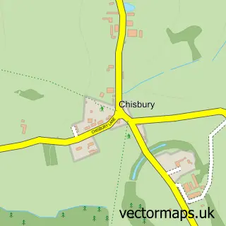
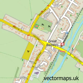
This Ramsbury street map is a detailed vector street map covering a 750m x 750m area. Select a larger area to create and download your own vector street map of Ramsbury.
The 750-metre map sample for Ramsbury covers 240 mapped buildings and approximately 14.2 km of road detail, of which 19 named roads are named. The immediate area includes 1 school, 1 GP surgery within 2 miles and 1 pub. The wider area around Ramsbury features 3 food and drink venues. To create a larger or custom map of Ramsbury, the map builder lets you define your own coverage area and download editable SVG, PDF and PNG files.
Create a larger editable map of Ramsbury
Choose any area you need and generate a high-quality vector map instantly. Perfect for print, planning, design, business and personal use.

This Ramsbury street map in Wiltshire is available as downloadable SVG, PDF and PNG map files, or as a printed map for planning, business, display, education, local information and design work. You can also create a larger custom map area using the map selector.
What this Ramsbury map sample shows
Ramsbury lies within Ramsbury Cp parish, part of Aldbourne And Ramsbury ward in the Wiltshire local authority area. The postcode geography for this area includes the SN postcode area, the SN8 postcode district and the SN8 2 postcode sector. Residents fall under the Nhs Bath And North East Somerset, Swindon And Wiltshire Integrated Care Board for NHS services.
Local features near Ramsbury
Within 2 milesAmenities and services in and around Ramsbury.
Administrative and postcode information for Ramsbury
Ramsbury lies within Ramsbury Cp parish, part of Aldbourne And Ramsbury ward in the Wiltshire local authority area. The postcode geography for this area includes the SN postcode area, the SN8 postcode district and the SN8 2 postcode sector. Residents fall under the Nhs Bath And North East Somerset, Swindon And Wiltshire Integrated Care Board for NHS services.
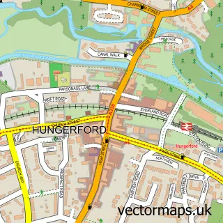
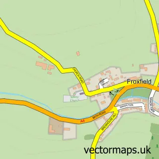
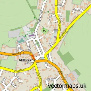
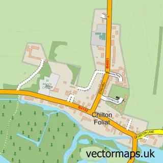
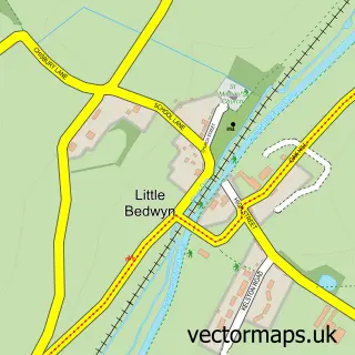
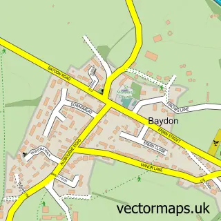
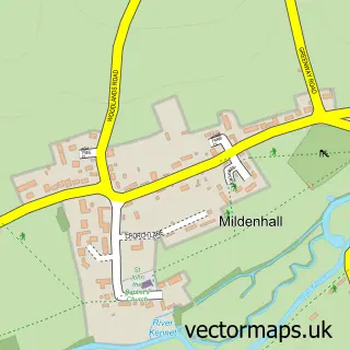
Nearby street map samples around Ramsbury

More street maps in Wiltshire
750 metre map area coverage
Boundary, postcode and point of interest information for the 750m x 750m rectangle centred on this sample map.
Boundaries containing map centre
Constituency: East Wiltshire Co Const
District: Wiltshire
Icb: NHS Bath and North East Somerset Swindon and Wiltshire ICB
Parish: Ramsbury CP
Police Force: wiltshire
Postcode District: SN8
Postcode Sector: SN8 2
Nearby boundaries intersecting sample
No additional intersecting boundaries found.
Postcode coverage
POI category counts
Community Services Non Profits: 4
Convenience Store: 3
Coffee Shop: 2
Elementary School: 2
Land Surveying: 2
Pizza Restaurant: 2
Accommodation: 1
Advertising Agency: 1
Anglican Church: 1
Barber: 1
Sample points of interest
- Ramsbury Village
- Hyperion Promotions
- Ramsbury: Holy Cross
- The Original Downtown Barbers - Marlborough.
- Renata BeautyRelax
- Heraldry Today
- Arab Horse Society
- Fair Isle
- Holy Cross Church, Ramsbury
- Cafe Bella
- Ebbie's Cafe
- Action Through Enterprise - ATE
Create a larger editable map of Ramsbury
This sample shows only a 750 metre area. To create a larger map of Ramsbury, use our map builder to choose your own coverage area, add titles and download editable SVG, PDF and PNG files.
Create a custom map of Ramsbury