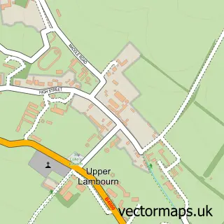
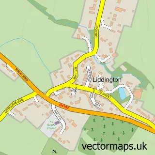
This Aldbourne street map is a detailed vector street map covering a 750m x 750m area. Select a larger area to create and download your own vector street map of Aldbourne.
The 750-metre map sample for Aldbourne covers 319 mapped buildings and approximately 22.3 km of road detail, of which 28 named roads are named. The immediate area includes 1 school, 2 pubs and 2 MOT stations. The wider area around Aldbourne features 4 food and drink venues. To create a larger or custom map of Aldbourne, the map builder lets you define your own coverage area and download editable SVG, PDF and PNG files.
Create a larger editable map of Aldbourne
Choose any area you need and generate a high-quality vector map instantly. Perfect for print, planning, design, business and personal use.

This Aldbourne street map in Wiltshire is available as downloadable SVG, PDF and PNG map files, or as a printed map for planning, business, display, education, local information and design work. You can also create a larger custom map area using the map selector.
What this Aldbourne map sample shows
Aldbourne lies within Aldbourne Cp parish, part of Aldbourne And Ramsbury ward in the Wiltshire local authority area. The postcode geography for this area includes the SN postcode area, the SN8 postcode district and the SN8 2 postcode sector. Residents fall under the Nhs Bath And North East Somerset, Swindon And Wiltshire Integrated Care Board for NHS services.
Local features near Aldbourne
Within 2 milesAmenities and services in and around Aldbourne.
Administrative and postcode information for Aldbourne
Aldbourne lies within Aldbourne Cp parish, part of Aldbourne And Ramsbury ward in the Wiltshire local authority area. The postcode geography for this area includes the SN postcode area, the SN8 postcode district and the SN8 2 postcode sector. Residents fall under the Nhs Bath And North East Somerset, Swindon And Wiltshire Integrated Care Board for NHS services.
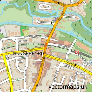
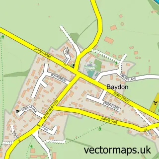
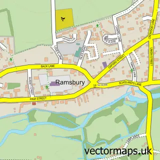
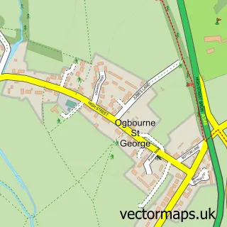
Nearby street map samples around Aldbourne

More street maps in Wiltshire
750 metre map area coverage
Boundary, postcode and point of interest information for the 750m x 750m rectangle centred on this sample map.
Boundaries containing map centre
Constituency: East Wiltshire Co Const
District: Wiltshire
Icb: NHS Bath and North East Somerset Swindon and Wiltshire ICB
Parish: Aldbourne CP
Police Force: wiltshire
Postcode District: SN8
Postcode Sector: SN8 2
Nearby boundaries intersecting sample
No additional intersecting boundaries found.
Postcode coverage
POI category counts
Beauty Salon: 3
Pub: 2
Anglican Church: 1
Automotive Repair: 1
Beauty And Spa: 1
Bed And Breakfast: 1
Beer Bar: 1
Cafe: 1
Child Care And Day Care: 1
Church Cathedral: 1
Sample points of interest
- Aldbourne: St Michael
- 3 Counties Services
- Angharad Beck Hair Award Winning Hairdresser
- Gallery Hair and Nail Studio
- Tessa Fitch
- Total Look and Pilates by Angela
- 1 The Paddocks B&B
- Aldbourne Sports & Social Club
- Aldbourne Post Office Cafe and Deli
- Sixpenny Daycare & Nursery
- St Michaels Church, Aldbourne
- Framework Training
Create a larger editable map of Aldbourne
This sample shows only a 750 metre area. To create a larger map of Aldbourne, use our map builder to choose your own coverage area, add titles and download editable SVG, PDF and PNG files.
Create a custom map of Aldbourne