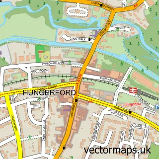
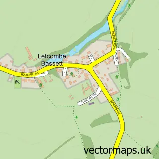
This Lambourn street map is a detailed vector street map covering a 750m x 750m area. Select a larger area to create and download your own vector street map of Lambourn.
The 750-metre map sample for Lambourn covers 492 mapped buildings and approximately 20.7 km of road detail, of which 51 named roads are named. The immediate area includes 1 GP surgery within 2 miles, 3 pubs and 2 MOT stations within 2 miles. The wider area around Lambourn features 1 tourism point of interest and 4 food and drink venues. To create a larger or custom map of Lambourn, the map builder lets you define your own coverage area and download editable SVG, PDF and PNG files.
Create a larger editable map of Lambourn
Choose any area you need and generate a high-quality vector map instantly. Perfect for print, planning, design, business and personal use.

This Lambourn street map in Berkshire is available as downloadable SVG, PDF and PNG map files, or as a printed map for planning, business, display, education, local information and design work. You can also create a larger custom map area using the map selector.
What this Lambourn map sample shows
Lambourn lies within Lambourn Cp parish, part of Lambourn ward in the West Berkshire local authority area. The postcode geography for this area includes the RG postcode area, the RG17 postcode district and the RG17 8 postcode sector. Residents fall under the Nhs Buckinghamshire, Oxfordshire And Berkshire West Integrated Care Board for NHS services.
Local features near Lambourn
Within 2 milesAmenities and services in and around Lambourn.
Administrative and postcode information for Lambourn
The local authority covering Lambourn is West Berkshire, within the county of Berkshire. The settlement lies within Lambourn ward and Lambourn Cp civil parish. The RG17 postcode district and RG17 8 postcode sector serve the immediate area. NHS provision in the area is delivered through Great Western Hospitals Nhs Foundation Trust.
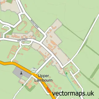
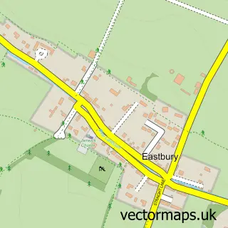
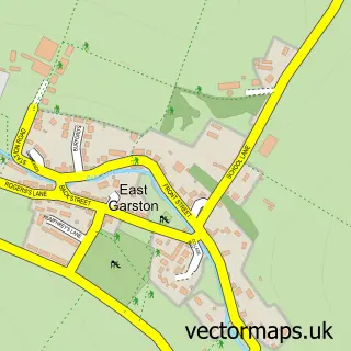
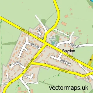
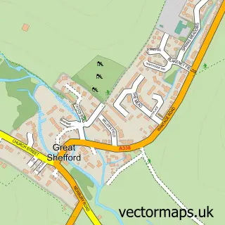
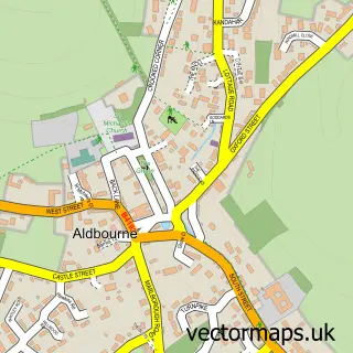
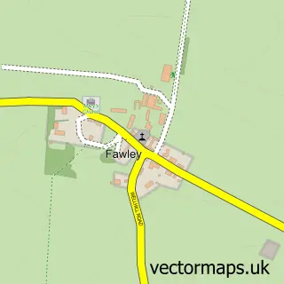
Nearby street map samples around Lambourn

More street maps in Berkshire
750 metre map area coverage
Boundary, postcode and point of interest information for the 750m x 750m rectangle centred on this sample map.
Boundaries containing map centre
Constituency: Newbury Co Const
District: West Berkshire
Icb: NHS Thames Valley ICB
Parish: Lambourn CP
Police Force: thames valley
Postcode District: RG17
Postcode Sector: RG17 8
Ward: Lambourn Ward
Nearby boundaries intersecting sample
Postcode Sector: RG17 7
Postcode coverage
POI category counts
Convenience Store: 5
Beauty Salon: 3
Horse Trainer: 3
Korean Grocery Store: 3
Pub: 3
Accountant: 2
Atms: 2
Bakery: 2
Grocery Store: 2
Pharmacy: 2
Sample points of interest
- Accountants for Barristers
- Accounts For Barristers
- Sara Bartlett
- Jockey Club Estates Limited
- St Michael's and All Angels Lambourn
- Richard Hughes Racing Limited
- Morrisons Daily - Lambourn High Street , Lambourn
- The Southern Co-Operative Lambourn, Lambourn
- Auto Electrics Direct
- Elsies Bakery
- Simply Delish Lambourn
- Walwyn Hall, Lambourn
Create a larger editable map of Lambourn
This sample shows only a 750 metre area. To create a larger map of Lambourn, use our map builder to choose your own coverage area, add titles and download editable SVG, PDF and PNG files.
Create a custom map of Lambourn