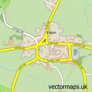
This Clotton street map is a detailed vector street map covering a 750m x 750m area. Select a larger area to create and download your own vector street map of Clotton.
The 750-metre map sample for Clotton covers 85 mapped buildings and approximately 8.2 km of road detail, of which 4 named roads are named. The immediate area includes 1 MOT station within 2 miles. To create a larger or custom map of Clotton, the map builder lets you define your own coverage area and download editable SVG, PDF and PNG files.
Create a larger editable map of Clotton
Choose any area you need and generate a high-quality vector map instantly. Perfect for print, planning, design, business and personal use.

This Clotton street map in Cheshire is available as downloadable SVG, PDF and PNG map files, or as a printed map for planning, business, display, education, local information and design work. You can also create a larger custom map area using the map selector.
What this Clotton map sample shows
Clotton lies within Clotton Hoofield Cp parish, part of Tarvin & Kelsall ward in the Cheshire West And Chester (B) local authority area. The postcode geography for this area includes the CW postcode area, the CW6 postcode district and the CW6 0 postcode sector. Residents fall under the Nhs Cheshire And Merseyside Integrated Care Board for NHS services.
Local features near Clotton
Within 2 milesAmenities and services in and around Clotton.
Administrative and postcode information for Clotton
Clotton lies within Clotton Hoofield Cp parish, part of Tarvin & Kelsall ward in the Cheshire West And Chester (B) local authority area. The postcode geography for this area includes the CW postcode area, the CW6 postcode district and the CW6 0 postcode sector. Residents fall under the Nhs Cheshire And Merseyside Integrated Care Board for NHS services.
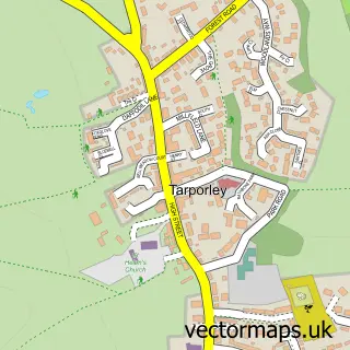
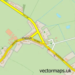
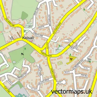
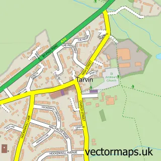
Nearby street map samples around Clotton

More street maps in Cheshire
750 metre map area coverage
Boundary, postcode and point of interest information for the 750m x 750m rectangle centred on this sample map.
Boundaries containing map centre
Constituency: Chester South and Eddisbury Co Const
District: Cheshire West and Chester (B)
Icb: NHS Cheshire and Merseyside ICB
Parish: Clotton Hoofield CP
Police Force: cheshire
Postcode District: CW6
Postcode Sector: CW6 0
Ward: Tarvin & Kelsall Ward
Nearby boundaries intersecting sample
No additional intersecting boundaries found.
Postcode coverage
POI category counts
Assisted Living Facility: 2
Beauty Salon: 2
Funeral Services And Cemeteries: 2
Holiday Rental Home: 2
Veterinarian: 2
Web Designer: 2
Acupuncture: 1
Alternative Medicine: 1
Bar: 1
Beauty Product Supplier: 1
Sample points of interest
- Panacea Traditional Acupuncture
- Nicola Smith Hypnotherapy
- Barchester - Iddenshall Hall Care Home
- Iddenshall Hall Care Home - Barchester
- The Bulls Head
- Zenchi Clinic
- Chapel Beauty and Aesthetics
- Fabulous You Beauty
- Clotton Creamery
- Gym Consultants
- Jacqueline Wilson Independent Funeral Services
- Jacqueline Wilson Independent Funeral Services
Create a larger editable map of Clotton
This sample shows only a 750 metre area. To create a larger map of Clotton, use our map builder to choose your own coverage area, add titles and download editable SVG, PDF and PNG files.
Create a custom map of Clotton