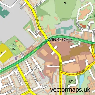
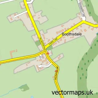
This Eaton street map is a detailed vector street map covering a 750m x 750m area. Select a larger area to create and download your own vector street map of Eaton.
The 750-metre map sample for Eaton covers 130 mapped buildings and approximately 11.1 km of road detail, of which 9 named roads are named. The immediate area includes 1 school, 2 GP surgeries within 2 miles and 3 MOT stations within 2 miles. The wider area around Eaton features 1 food and drink venue. To create a larger or custom map of Eaton, the map builder lets you define your own coverage area and download editable SVG, PDF and PNG files.
Create a larger editable map of Eaton
Choose any area you need and generate a high-quality vector map instantly. Perfect for print, planning, design, business and personal use.

This Eaton street map in Cheshire is available as downloadable SVG, PDF and PNG map files, or as a printed map for planning, business, display, education, local information and design work. You can also create a larger custom map area using the map selector.
What this Eaton map sample shows
Eaton lies within Rushton Cp parish, part of Tarporley ward in the Cheshire West And Chester (B) local authority area. The postcode geography for this area includes the CW postcode area, the CW6 postcode district and the CW6 9 postcode sector. Residents fall under the Nhs Cheshire And Merseyside Integrated Care Board for NHS services.
Local features near Eaton
Within 2 milesAmenities and services in and around Eaton.
Administrative and postcode information for Eaton
The local authority covering Eaton is Cheshire West And Chester (B), within the county of Cheshire. The settlement lies within Tarporley ward and Rushton Cp civil parish. The CW6 postcode district and CW6 9 postcode sector serve the immediate area. NHS provision in the area is delivered through Countess Of Chester Hospital Nhs Foundation Trust.
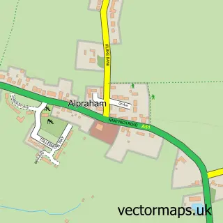
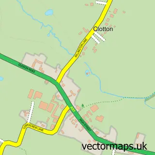
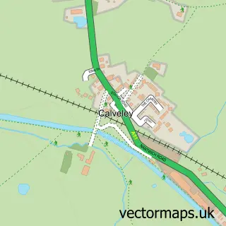
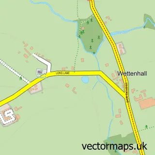
Nearby street map samples around Eaton

More street maps in Cheshire
750 metre map area coverage
Boundary, postcode and point of interest information for the 750m x 750m rectangle centred on this sample map.
Boundaries containing map centre
Constituency: Chester South and Eddisbury Co Const
District: Cheshire West and Chester (B)
Icb: NHS Cheshire and Merseyside ICB
Parish: Rushton CP
Police Force: cheshire
Postcode District: CW6
Postcode Sector: CW6 9
Ward: Tarporley Ward
Nearby boundaries intersecting sample
Parish: Tarporley CP
Postcode coverage
POI category counts
Building Supply Store: 2
Dance School: 2
Church Cathedral: 1
Coffee Shop: 1
Counseling And Mental Health: 1
Electrician: 1
Elementary School: 1
Event Planning: 1
Holiday Rental Home: 1
Pilates Studio: 1
Sample points of interest
- T S E P C Ltd.
- Tsepc Ltd.
- St Thomas's Church
- The Drays Coffee Shop
- Between Us Counselling
- Mark Birchenough
- Pointe Works
- The Solar Electric Power Co. Ltd.
- Eaton Primary School
- Tripin Heidi - The groovy way to party
- Lower House Holiday Cottages
- LL Pilates
Create a larger editable map of Eaton
This sample shows only a 750 metre area. To create a larger map of Eaton, use our map builder to choose your own coverage area, add titles and download editable SVG, PDF and PNG files.
Create a custom map of Eaton