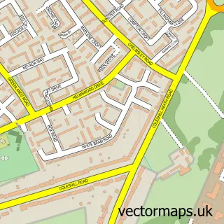
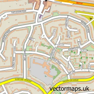
This Coleshill street map is a detailed vector street map covering a 750m x 750m area. Select a larger area to create and download your own vector street map of Coleshill.
The 750-metre map sample for Coleshill covers 321 mapped buildings and approximately 38.8 km of road detail, of which 36 named roads are named. The immediate area includes 1 GP surgery, with 5 within 2 miles, 6 pubs and 1 MOT station, with 10 within 2 miles. The wider area around Coleshill features 2 tourism points of interest, 12 food and drink venues and 4 hotels. To create a larger or custom map of Coleshill, the map builder lets you define your own coverage area and download editable SVG, PDF and PNG files.
Create a larger editable map of Coleshill
Choose any area you need and generate a high-quality vector map instantly. Perfect for print, planning, design, business and personal use.

This Coleshill street map in Warwickshire is available as downloadable SVG, PDF and PNG map files, or as a printed map for planning, business, display, education, local information and design work. You can also create a larger custom map area using the map selector.
What this Coleshill map sample shows
Coleshill lies within Coleshill Cp parish, part of Coleshill South ward in the North Warwickshire District (B) local authority area. The postcode geography for this area includes the B postcode area, the B46 postcode district and the B46 3 postcode sector. Residents fall under the Nhs Coventry And Warwickshire Integrated Care Board for NHS services.
Local features near Coleshill
Within 2 milesAmenities and services in and around Coleshill.
Administrative and postcode information for Coleshill
Coleshill lies within Coleshill Cp parish, part of Coleshill South ward in the North Warwickshire District (B) local authority area. The postcode geography for this area includes the B postcode area, the B46 postcode district and the B46 3 postcode sector. Residents fall under the Nhs Coventry And Warwickshire Integrated Care Board for NHS services.
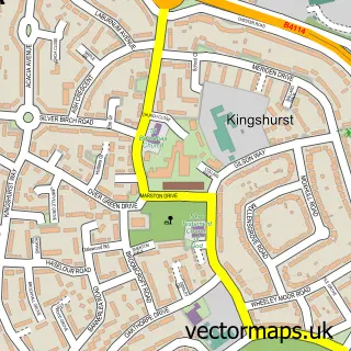
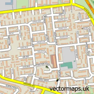
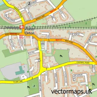
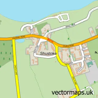
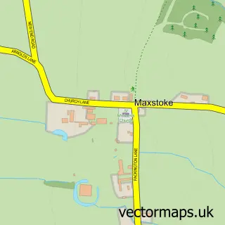
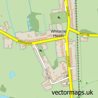
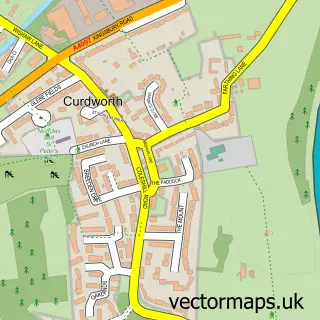
Nearby street map samples around Coleshill

More street maps in Warwickshire
750 metre map area coverage
Boundary, postcode and point of interest information for the 750m x 750m rectangle centred on this sample map.
Boundaries containing map centre
Constituency: North Warwickshire and Bedworth Co Const
County: Warwickshire County
District: North Warwickshire District (B)
Icb: NHS Coventry and Warwickshire ICB
Parish: Coleshill CP
Police Force: warwickshire
Postcode District: B46
Postcode Sector: B46 3
Ward: Coleshill South Ward
Nearby boundaries intersecting sample
Postcode Sector: B46 1
Ward: Coleshill North Ward
Postcode coverage
POI category counts
Beauty Salon: 6
Indian Restaurant: 6
Pub: 6
Professional Services: 5
Coffee Shop: 4
Flowers And Gifts Shop: 4
Hair Salon: 4
Hotel: 4
Accountant: 3
Antique Store: 3
Sample points of interest
- Harben Barker Ltd.
- MAGIC Accountancy Services
- MAGIC Accountancy Services
- Yin Yang Centre
- Yin Yang Centre
- Rave Communications Ltd.
- TPM Media Planning & Buying
- The Well Being Holistic Therapy Centre
- Coleshill Cricket Club
- Coleshill Parish Church with Maxstoke
- SS Peter & Paul, Coleshill
- Coleshill Interiors Antiques
Create a larger editable map of Coleshill
This sample shows only a 750 metre area. To create a larger map of Coleshill, use our map builder to choose your own coverage area, add titles and download editable SVG, PDF and PNG files.
Create a custom map of Coleshill