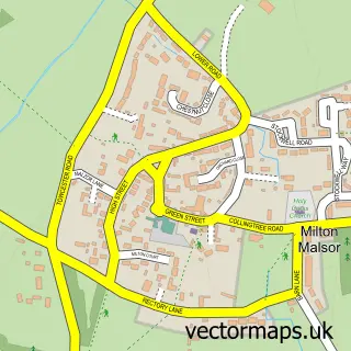
This Collingtree street map is a detailed vector street map covering a 750m x 750m area. Select a larger area to create and download your own vector street map of Collingtree.
The 750-metre map sample for Collingtree covers 410 mapped buildings and approximately 19.3 km of road detail, of which 15 named roads are named. The immediate area includes 1 school, 3 GP surgeries within 2 miles, 1 pub and 3 MOT stations within 2 miles. The wider area around Collingtree features 1 food and drink venue. To create a larger or custom map of Collingtree, the map builder lets you define your own coverage area and download editable SVG, PDF and PNG files.
Create a larger editable map of Collingtree
Choose any area you need and generate a high-quality vector map instantly. Perfect for print, planning, design, business and personal use.

This Collingtree street map in Northamptonshire is available as downloadable SVG, PDF and PNG map files, or as a printed map for planning, business, display, education, local information and design work. You can also create a larger custom map area using the map selector.
What this Collingtree map sample shows
Collingtree lies within Collingtree Cp parish, part of Nene Valley ward in the West Northamptonshire local authority area. The postcode geography for this area includes the NN postcode area, the NN4 postcode district and the NN4 0 postcode sector. Residents fall under the Nhs Northamptonshire Integrated Care Board for NHS services.
Local features near Collingtree
Within 2 milesAmenities and services in and around Collingtree.
Administrative and postcode information for Collingtree
The local authority covering Collingtree is West Northamptonshire, within the county of Northamptonshire. The settlement lies within Nene Valley ward and Collingtree Cp civil parish. The NN4 postcode district and NN4 0 postcode sector serve the immediate area. NHS provision in the area is delivered through Northampton General Hospital Nhs Trust.
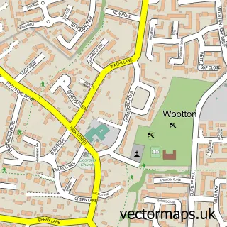
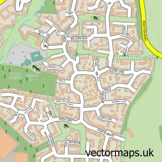
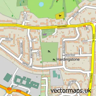
Nearby street map samples around Collingtree


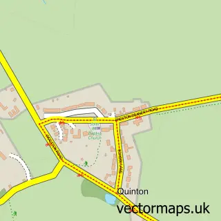
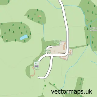
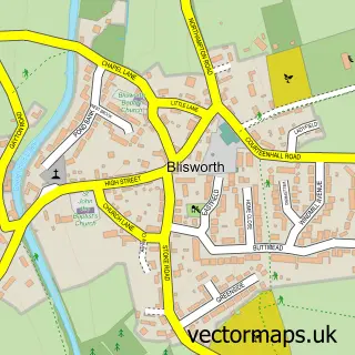
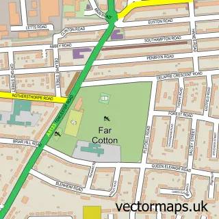
More street maps in Northamptonshire
750 metre map area coverage
Boundary, postcode and point of interest information for the 750m x 750m rectangle centred on this sample map.
Boundaries containing map centre
Constituency: Northampton South Boro Const
District: West Northamptonshire
Icb: NHS Northamptonshire ICB
Parish: Collingtree CP
Police Force: northamptonshire
Postcode District: NN4
Postcode Sector: NN4 0
Ward: Hunsbury Ward
Nearby boundaries intersecting sample
Constituency: South Northamptonshire Co Const
Parish: East Hunsbury CP, Milton Malsor CP
Postcode District: NN7
Postcode Sector: NN7 3
Ward: Hackleton & Roade Ward
Postcode coverage
POI category counts
Contractor: 2
Sports Club And League: 2
Accommodation: 1
Anglican Church: 1
Beauty And Spa: 1
Convenience Store: 1
Elementary School: 1
Pet Services: 1
Preschool: 1
Process Servers: 1
Sample points of interest
- Collingtree Village
- St Columba
- de Vries Medical Aesthetics
- Advanced Loft Ladders Ltd
- Avenue Ceramics Tiling
- One Stop
- Collingtree C of E Primary School
- Pawtastic Pet Taxi
- Collingtree Day Nursery
- RAPOZ International
- The Wooden Walls of Old England Collingtree
- Wooden Walls Of Old England
Create a larger editable map of Collingtree
This sample shows only a 750 metre area. To create a larger map of Collingtree, use our map builder to choose your own coverage area, add titles and download editable SVG, PDF and PNG files.
Create a custom map of Collingtree