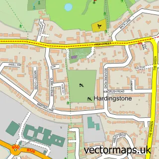
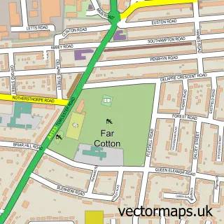
This Wootton street map is a detailed vector street map covering a 750m x 750m area. Select a larger area to create and download your own vector street map of Wootton.
The 750-metre map sample for Wootton covers 507 mapped buildings and approximately 35.3 km of road detail, of which 42 named roads are named. The immediate area includes 1 school, 1 GP surgery, with 3 within 2 miles, 2 pubs and 8 MOT stations within 2 miles. The wider area around Wootton features 1 tourism point of interest and 5 food and drink venues. To create a larger or custom map of Wootton, the map builder lets you define your own coverage area and download editable SVG, PDF and PNG files.
Create a larger editable map of Wootton
Choose any area you need and generate a high-quality vector map instantly. Perfect for print, planning, design, business and personal use.

This Wootton street map in Northamptonshire is available as downloadable SVG, PDF and PNG map files, or as a printed map for planning, business, display, education, local information and design work. You can also create a larger custom map area using the map selector.
What this Wootton map sample shows
Wootton lies within Wootton Cp parish, part of Nene Valley ward in the West Northamptonshire local authority area. The postcode geography for this area includes the NN postcode area, the NN4 postcode district and the NN4 6 postcode sector. Residents fall under the Nhs Northamptonshire Integrated Care Board for NHS services.
Local features near Wootton
Within 2 milesAmenities and services in and around Wootton.
Administrative and postcode information for Wootton
The local authority covering Wootton is West Northamptonshire, within the county of Northamptonshire. The settlement lies within Nene Valley ward and Wootton Cp civil parish. The NN4 postcode district and NN4 6 postcode sector serve the immediate area. NHS provision in the area is delivered through Northampton General Hospital Nhs Trust.
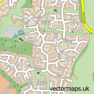
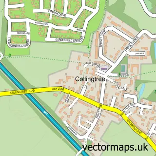
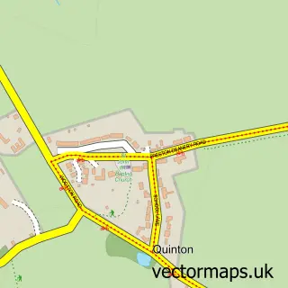
Nearby street map samples around Wootton


More street maps in Northamptonshire
750 metre map area coverage
Boundary, postcode and point of interest information for the 750m x 750m rectangle centred on this sample map.
Boundaries containing map centre
Constituency: Northampton South Boro Const
District: West Northamptonshire
Icb: NHS Northamptonshire ICB
Parish: Wootton CP
Police Force: northamptonshire
Postcode District: NN4
Postcode Sector: NN4 6
Ward: Nene Valley Ward
Nearby boundaries intersecting sample
No additional intersecting boundaries found.
Postcode coverage
POI category counts
Church Cathedral: 3
Community Center: 3
Gym: 3
Beauty Salon: 2
Carpenter: 2
Childrens Clothing Store: 2
Coffee Shop: 2
Medical Center: 2
Pet Groomer: 2
Plumbing: 2
Sample points of interest
- Zincbooks
- St George's, Wootton
- Myrtle Cottage Crafts
- Yorkshire Bank
- Lucy Lashes - HD Brows Northampton
- Wild About Nails
- Upright Fencing
- Thomas Cleaning Northampton
- All Food Hygiene
- D H Hillyer
- Alexander Carpentry
- Northants Carpentry LLP
Create a larger editable map of Wootton
This sample shows only a 750 metre area. To create a larger map of Wootton, use our map builder to choose your own coverage area, add titles and download editable SVG, PDF and PNG files.
Create a custom map of Wootton