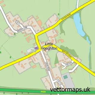
This Great Houghton street map is a detailed vector street map covering a 750m x 750m area. Select a larger area to create and download your own vector street map of Great Houghton.
The 750-metre map sample for Great Houghton covers 180 mapped buildings and approximately 14.3 km of road detail, of which 16 named roads are named. The immediate area includes 2 GP surgeries within 2 miles, 1 pub and 10 MOT stations within 2 miles. The wider area around Great Houghton features 1 food and drink venue. To create a larger or custom map of Great Houghton, the map builder lets you define your own coverage area and download editable SVG, PDF and PNG files.
Create a larger editable map of Great Houghton
Choose any area you need and generate a high-quality vector map instantly. Perfect for print, planning, design, business and personal use.

This Great Houghton street map in Northamptonshire is available as downloadable SVG, PDF and PNG map files, or as a printed map for planning, business, display, education, local information and design work. You can also create a larger custom map area using the map selector.
What this Great Houghton map sample shows
Great Houghton lies within Great Houghton Cp parish, part of Rushmills ward in the West Northamptonshire local authority area. The postcode geography for this area includes the NN postcode area, the NN4 postcode district and the NN4 7 postcode sector. Residents fall under the Nhs Northamptonshire Integrated Care Board for NHS services.
Local features near Great Houghton
Within 2 milesAmenities and services in and around Great Houghton.
Administrative and postcode information for Great Houghton
The local authority covering Great Houghton is West Northamptonshire, within the county of Northamptonshire. The settlement lies within Rushmills ward and Great Houghton Cp civil parish. The NN4 postcode district and NN4 7 postcode sector serve the immediate area. NHS provision in the area is delivered through Northampton General Hospital Nhs Trust.
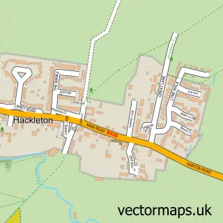
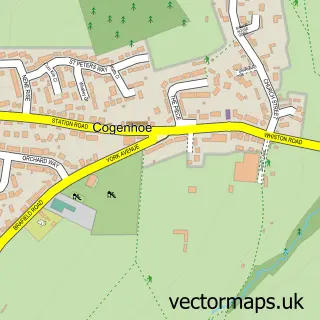
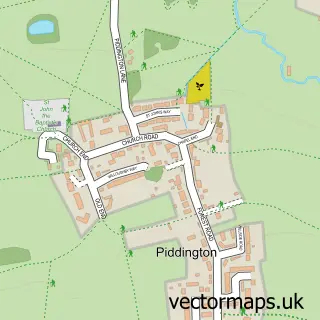
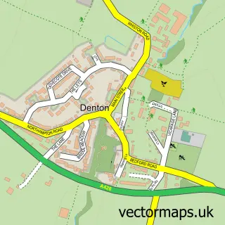
Nearby street map samples around Great Houghton


More street maps in Northamptonshire
750 metre map area coverage
Boundary, postcode and point of interest information for the 750m x 750m rectangle centred on this sample map.
Boundaries containing map centre
Constituency: Northampton South Boro Const
District: West Northamptonshire
Icb: NHS Northamptonshire ICB
Parish: Great Houghton CP
Police Force: northamptonshire
Postcode District: NN4
Postcode Sector: NN4 7
Ward: Cogenhoe & The Houghtons Ward
Nearby boundaries intersecting sample
Constituency: South Northamptonshire Co Const
Postcode coverage
POI category counts
Carpenter: 2
Arts And Entertainment: 1
Beauty Salon: 1
Carpet Store: 1
Day Care Preschool: 1
Gastropub: 1
Home Goods Store: 1
It Service And Computer Repair: 1
Martial Arts Club: 1
Professional Services: 1
Sample points of interest
- Great Houghton Village Hall Northampton
- Beauclair
- TNJ
- TNJ Carpentry
- Tony Smith
- Great Houghton Nursery
- Cromwell Cottage
- Gbbpy UK
- Technofriend
- Musokan Dojo
- Alcura UK
- The White Hart
Create a larger editable map of Great Houghton
This sample shows only a 750 metre area. To create a larger map of Great Houghton, use our map builder to choose your own coverage area, add titles and download editable SVG, PDF and PNG files.
Create a custom map of Great Houghton