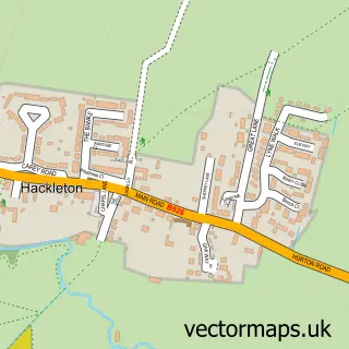
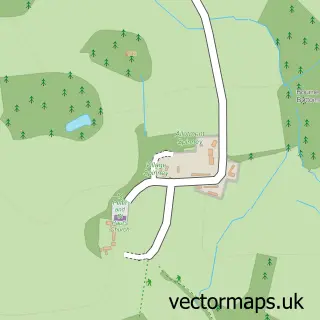
This Piddington street map is a detailed vector street map covering a 750m x 750m area. Select a larger area to create and download your own vector street map of Piddington.
The 750-metre map sample for Piddington covers 150 mapped buildings and approximately 9.3 km of road detail, of which 11 named roads are named. The wider area around Piddington features 1 tourism point of interest. To create a larger or custom map of Piddington, the map builder lets you define your own coverage area and download editable SVG, PDF and PNG files.
Create a larger editable map of Piddington
Choose any area you need and generate a high-quality vector map instantly. Perfect for print, planning, design, business and personal use.

This Piddington street map in Northamptonshire is available as downloadable SVG, PDF and PNG map files, or as a printed map for planning, business, display, education, local information and design work. You can also create a larger custom map area using the map selector.
What this Piddington map sample shows
Piddington lies within Hackleton Cp parish, part of Hackleton ward in the West Northamptonshire local authority area. The postcode geography for this area includes the NN postcode area, the NN7 postcode district and the NN7 2 postcode sector. Residents fall under the Nhs Northamptonshire Integrated Care Board for NHS services.
Local features near Piddington
Within 2 milesAmenities and services in and around Piddington.
Administrative and postcode information for Piddington
The local authority covering Piddington is West Northamptonshire, within the county of Northamptonshire. The settlement lies within Hackleton ward and Hackleton Cp civil parish. The NN7 postcode district and NN7 2 postcode sector serve the immediate area. NHS provision in the area is delivered through Northampton General Hospital Nhs Trust.
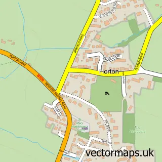
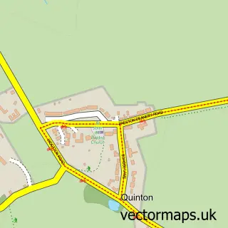
Nearby street map samples around Piddington


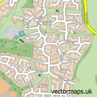
More street maps in Northamptonshire
750 metre map area coverage
Boundary, postcode and point of interest information for the 750m x 750m rectangle centred on this sample map.
Boundaries containing map centre
Constituency: South Northamptonshire Co Const
District: West Northamptonshire
Icb: NHS Northamptonshire ICB
Parish: Hackleton CP
Police Force: northamptonshire
Postcode District: NN7
Postcode Sector: NN7 2
Ward: Hackleton & Roade Ward
Nearby boundaries intersecting sample
No additional intersecting boundaries found.
Postcode coverage
POI category counts
Auction House: 2
Anglican Church: 1
Architectural Designer: 1
Business Management Services: 1
Clinical Laboratories: 1
Computer Store: 1
Environmental Conservation Organization: 1
Event Photography: 1
Hair Salon: 1
International Business And Trade Services: 1
Sample points of interest
- St John the Baptist, Piddington
- Sketchproposal Limited
- K And K Halls
- K and K Halls Stamp Auctions
- Almac
- Metachem Diagnostics Ltd.
- Pc-Firstaid.com Ltd.
- Environmental Health Systems
- OSB Films
- Trichology & Wig Experience
- L E Glennon Building & Carpentry
- Pc-firstaid Com
Create a larger editable map of Piddington
This sample shows only a 750 metre area. To create a larger map of Piddington, use our map builder to choose your own coverage area, add titles and download editable SVG, PDF and PNG files.
Create a custom map of Piddington