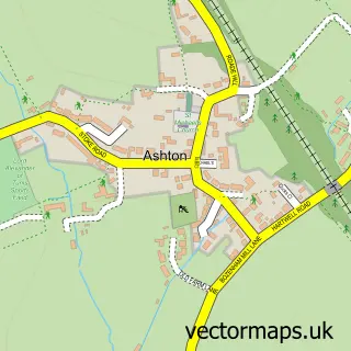
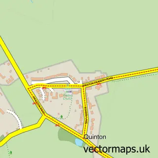
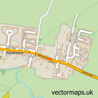
This Hartwell street map is a detailed vector street map covering a 750m x 750m area. Select a larger area to create and download your own vector street map of Hartwell.
The 750-metre map sample for Hartwell covers 312 mapped buildings and approximately 17.4 km of road detail, of which 20 named roads are named. The immediate area includes 1 school and 2 pubs. The wider area around Hartwell features 1 tourism point of interest and 2 food and drink venues. To create a larger or custom map of Hartwell, the map builder lets you define your own coverage area and download editable SVG, PDF and PNG files.
Create a larger editable map of Hartwell
Choose any area you need and generate a high-quality vector map instantly. Perfect for print, planning, design, business and personal use.

This Hartwell street map in Northamptonshire is available as downloadable SVG, PDF and PNG map files, or as a printed map for planning, business, display, education, local information and design work. You can also create a larger custom map area using the map selector.
What this Hartwell map sample shows
Hartwell lies within Hartwell Cp parish, part of Salcey ward in the West Northamptonshire local authority area. The postcode geography for this area includes the NN postcode area, the NN7 postcode district and the NN7 2 postcode sector. Residents fall under the Nhs Northamptonshire Integrated Care Board for NHS services.
Local features near Hartwell
Within 2 milesAmenities and services in and around Hartwell.
Administrative and postcode information for Hartwell
Hartwell lies within Hartwell Cp parish, part of Salcey ward in the West Northamptonshire local authority area. The postcode geography for this area includes the NN postcode area, the NN7 postcode district and the NN7 2 postcode sector. Residents fall under the Nhs Northamptonshire Integrated Care Board for NHS services.
Nearby street map samples around Hartwell
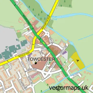

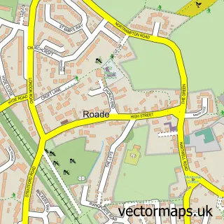
More street maps in Northamptonshire
750 metre map area coverage
Boundary, postcode and point of interest information for the 750m x 750m rectangle centred on this sample map.
Boundaries containing map centre
Constituency: South Northamptonshire Co Const
District: West Northamptonshire
Icb: NHS Northamptonshire ICB
Parish: Hartwell CP
Police Force: northamptonshire
Postcode District: NN7
Postcode Sector: NN7 2
Ward: Hackleton & Roade Ward
Nearby boundaries intersecting sample
Parish: Ashton CP
Postcode coverage
POI category counts
Pet Groomer: 3
Pub: 2
Shipping Center: 2
Anglican Church: 1
Antique Store: 1
Automotive Repair: 1
Beauty And Spa: 1
Building Supply Store: 1
Business Consulting: 1
Business Management Services: 1
Sample points of interest
- St John the Baptist
- G S Antique Desk Leathers
- Hanslope Car Repairs
- Flore-less Beauty
- Tree Stump Solutions
- The Self Build
- Silicon Bullet Ltd.
- Cooking Charcoal
- Parasol Holidays
- John the Baptist Church Hartwell
- KG Smith & Son (Coal Merchants UK)
- Hartwell Community Centre
Create a larger editable map of Hartwell
This sample shows only a 750 metre area. To create a larger map of Hartwell, use our map builder to choose your own coverage area, add titles and download editable SVG, PDF and PNG files.
Create a custom map of Hartwell