Vector Maps logo
Home Why it works Popular maps Districts Samples Customizer Create Your Map
VectorMaps.uk
Home Popular maps Districts Samples Customizer Create Your Map Privacy Disclaimer
Home / UK Maps / Northamptonshire / Horton Map

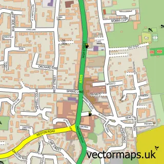
This Horton street map is a detailed vector street map covering a 750m x 750m area. Select a larger area to create and download your own vector street map of Horton.

Horton is a village in Northamptonshire, in the East Midlands of England. The settlement falls within the South Northamptonshire parliamentary constituency. It is served by the NN7 postcode district, with NN7 2 as the local postcode sector.

The 750-metre map sample for Horton covers 178 mapped buildings and approximately 21.8 km of road detail, of which 14 named roads are named. The wider area around Horton features 2 tourism points of interest and 1 hotel. To create a larger or custom map of Horton, the map builder lets you define your own coverage area and download editable SVG, PDF and PNG files.

178Buildings
21.8 kmRoads
14Named roads
774Residents within 2 miles
Create your own

Create a larger editable map of Horton

Choose any area you need and generate a high-quality vector map instantly. Perfect for print, planning, design, business and personal use.

Choose any location
Editable SVG files
Any size up to A0
PDF, PNG & more
Instant download
High quality guaranteed
Create My Custom Map
Secure, private & no credit card required
Horton Vector Street Map
750m Sample
Horton vector street map sample showing roads, buildings and local features in a 750 metre preview area
Buy Horton Map Print from £12.95 Buy Horton Digital Map from £6

This Horton street map in Northamptonshire is available as downloadable SVG, PDF and PNG map files, or as a printed map for planning, business, display, education, local information and design work. You can also create a larger custom map area using the map selector.

What this Horton map sample shows

Horton lies within Hackleton Cp parish, part of Hackleton ward in the West Northamptonshire local authority area. The postcode geography for this area includes the NN postcode area, the NN7 postcode district and the NN7 2 postcode sector. Residents fall under the Nhs Northamptonshire Integrated Care Board for NHS services.

Local features near Horton

Within 2 miles

Amenities and services in and around Horton.

2 Tourism & leisure
1 Hotels
2 Vehicle services

Counts are approximate and based on publicly available data.

Administrative and postcode information for Horton

The local authority covering Horton is West Northamptonshire, within the county of Northamptonshire. The settlement lies within Hackleton ward and Hackleton Cp civil parish. The NN7 postcode district and NN7 2 postcode sector serve the immediate area. NHS provision in the area is delivered through Northampton General Hospital Nhs Trust.

Parish Hackleton CP
Ward Hackleton
District / local authority West Northamptonshire
County Northamptonshire
Historic county Northamptonshire
Postcode district NN7
Postcode sector NN7 2
Parliamentary constituency South Northamptonshire
Region East Midlands
Country England

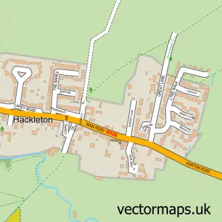
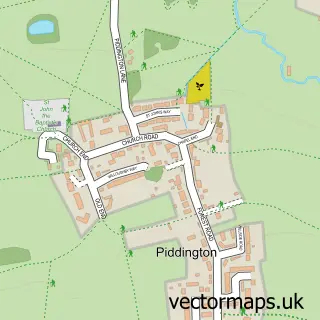
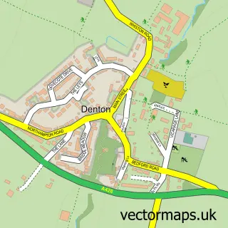
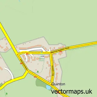
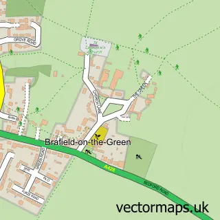
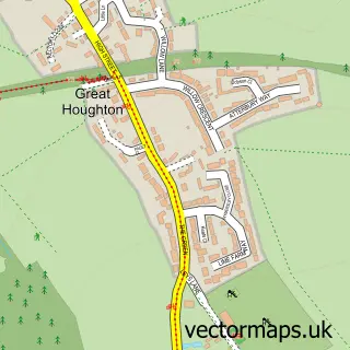
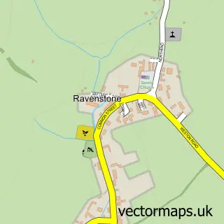
Nearby street map samples around Horton

Street map sample of Olney, Buckinghamshire Olney Town - Buckinghamshire - 4.8 miles Street map sample of Milton Keynes, Buckinghamshire Milton Keynes City - Buckinghamshire - 10.0 miles Street map sample of Hackleton, Northamptonshire Hackleton Village - Northamptonshire - 0.8 miles Street map sample of Piddington, Northamptonshire Piddington Village - Northamptonshire - 1.0 miles Street map sample of Denton, Northamptonshire Denton Village - Northamptonshire - 2.4 miles Street map sample of Quinton, Northamptonshire Quinton Village - Northamptonshire - 2.6 miles Street map sample of Brafield-on-the-Green, Northamptonshire Brafield-on-the-Green Village - Northamptonshire - 2.7 miles Street map sample of Great Houghton, Northamptonshire Great Houghton Village - Northamptonshire - 2.9 miles Street map sample of Ravenstone, Buckinghamshire Ravenstone Village - Buckinghamshire - 3.0 miles Street map sample of Hartwell, Northamptonshire Hartwell Village - Northamptonshire - 3.1 miles

More street maps in Northamptonshire

Street map sample of Hackleton, Northamptonshire Hackleton Village - 0.8 miles Street map sample of Piddington, Northamptonshire Piddington Village - 1.0 miles Street map sample of Denton, Northamptonshire Denton Village - 2.4 miles Street map sample of Quinton, Northamptonshire Quinton Village - 2.6 miles Street map sample of Brafield-on-the-Green, Northamptonshire Brafield-on-the-Green Village - 2.7 miles

750 metre map area coverage

Boundary, postcode and point of interest information for the 750m x 750m rectangle centred on this sample map.

Boundaries containing map centre

Constituency: South Northamptonshire Co Const

District: West Northamptonshire

Icb: NHS Northamptonshire ICB

Parish: Hackleton CP

Police Force: northamptonshire

Postcode District: NN7

Postcode Sector: NN7 2

Ward: Hackleton & Roade Ward

Nearby boundaries intersecting sample

No additional intersecting boundaries found.

Postcode coverage

NN7 NN7 2

POI category counts

Automotive Repair: 2

Active Life: 1

Automobile Leasing: 1

Beauty Salon: 1

Building Contractor: 1

Building Supply Store: 1

Cosmetic And Beauty Supplies: 1

Cricket Ground: 1

Event Planning: 1

Farm: 1

Sample points of interest

  • Denton Road Active Life
  • Alpha Contracts Leasing Automobile Leasing
  • Horton Car Care Automotive Repair
  • Trickbits UK Racing Automotive Repair
  • LeBon Beauty Beauty Salon
  • JBS Property Maintenance Building Contractor
  • Sue Plummer Building Supply Store
  • Awake Organics Cosmetic And Beauty Supplies
  • Horton House Cricket Club Cricket Ground
  • Venue at Horton House Event Planning
  • Pocklington Farms Farm
  • Weedwise Gardener

Create a larger editable map of Horton

This sample shows only a 750 metre area. To create a larger map of Horton, use our map builder to choose your own coverage area, add titles and download editable SVG, PDF and PNG files.

Create a custom map of Horton

Phone 01751 473136 | Copyright Vectormaps.uk 2026

Samples Customizer Privacy Disclaimer
Horton Vector Street Map
Horton enlarged street map sample showing a 750 metre preview area