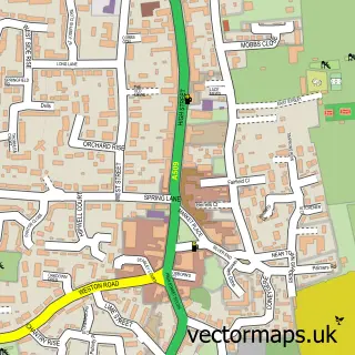
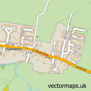
This Denton street map is a detailed vector street map covering a 750m x 750m area. Select a larger area to create and download your own vector street map of Denton.
The 750-metre map sample for Denton covers 215 mapped buildings and approximately 25.0 km of road detail, of which 17 named roads are named. The immediate area includes 1 school, 1 GP surgery and 1 pub. The wider area around Denton features 1 food and drink venue. To create a larger or custom map of Denton, the map builder lets you define your own coverage area and download editable SVG, PDF and PNG files.
Create a larger editable map of Denton
Choose any area you need and generate a high-quality vector map instantly. Perfect for print, planning, design, business and personal use.

This Denton street map in Northamptonshire is available as downloadable SVG, PDF and PNG map files, or as a printed map for planning, business, display, education, local information and design work. You can also create a larger custom map area using the map selector.
What this Denton map sample shows
Denton lies within Denton Cp parish, part of Brafield And Yardley ward in the West Northamptonshire local authority area. The postcode geography for this area includes the NN postcode area, the NN7 postcode district and the NN7 1 postcode sector. Residents fall under the Nhs Northamptonshire Integrated Care Board for NHS services.
Local features near Denton
Within 2 milesAmenities and services in and around Denton.
Administrative and postcode information for Denton
The local authority covering Denton is West Northamptonshire, within the county of Northamptonshire. The settlement lies within Brafield And Yardley ward and Denton Cp civil parish. The NN7 postcode district and NN7 1 postcode sector serve the immediate area. NHS provision in the area is delivered through Northampton General Hospital Nhs Trust.
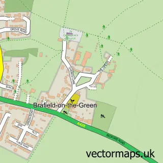
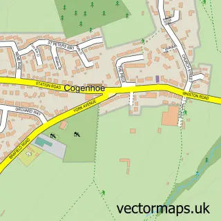
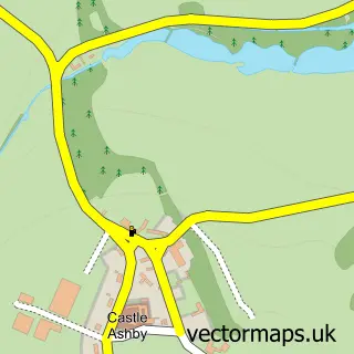
Nearby street map samples around Denton

More street maps in Northamptonshire
750 metre map area coverage
Boundary, postcode and point of interest information for the 750m x 750m rectangle centred on this sample map.
Boundaries containing map centre
Constituency: South Northamptonshire Co Const
District: West Northamptonshire
Icb: NHS Northamptonshire ICB
Parish: Denton CP
Police Force: northamptonshire
Postcode District: NN7
Postcode Sector: NN7 1
Ward: Cogenhoe & The Houghtons Ward
Nearby boundaries intersecting sample
No additional intersecting boundaries found.
Postcode coverage
POI category counts
Education: 2
Advertising Agency: 1
Anglican Church: 1
Bar And Grill Restaurant: 1
Beauty And Spa: 1
Building Supply Store: 1
Church Cathedral: 1
Elementary School: 1
Event Technology Service: 1
Family Practice: 1
Sample points of interest
- Elevations
- St Margaret, Denton
- Mooche Wala
- Emma Cottrell's Hair & Healing
- Mark Bulgin
- St Margaret of Antioch
- A C E-d
- Estha Jones School of Dance Limited
- Denton Primary School
- Elevations Exhibitons & Design
- Denton Village Surgery
- Emma Loves Mobile Hairdressing
Create a larger editable map of Denton
This sample shows only a 750 metre area. To create a larger map of Denton, use our map builder to choose your own coverage area, add titles and download editable SVG, PDF and PNG files.
Create a custom map of Denton