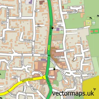
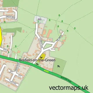
This Yardley Hastings street map is a detailed vector street map covering a 750m x 750m area. Select a larger area to create and download your own vector street map of Yardley Hastings.
The 750-metre map sample for Yardley Hastings covers 198 mapped buildings and approximately 13.2 km of road detail, of which 13 named roads are named. The immediate area includes 1 school, 1 GP surgery within 2 miles, 4 pubs and 1 MOT station within 2 miles. The wider area around Yardley Hastings features 5 food and drink venues. To create a larger or custom map of Yardley Hastings, the map builder lets you define your own coverage area and download editable SVG, PDF and PNG files.
Create a larger editable map of Yardley Hastings
Choose any area you need and generate a high-quality vector map instantly. Perfect for print, planning, design, business and personal use.

This Yardley Hastings street map in Northamptonshire is available as downloadable SVG, PDF and PNG map files, or as a printed map for planning, business, display, education, local information and design work. You can also create a larger custom map area using the map selector.
What this Yardley Hastings map sample shows
Yardley Hastings lies within Yardley Hastings Cp parish, part of Brafield And Yardley ward in the West Northamptonshire local authority area. The postcode geography for this area includes the NN postcode area, the NN7 postcode district and the NN7 1 postcode sector. Residents fall under the Nhs Northamptonshire Integrated Care Board for NHS services.
Local features near Yardley Hastings
Within 2 milesAmenities and services in and around Yardley Hastings.
Administrative and postcode information for Yardley Hastings
Yardley Hastings lies within Yardley Hastings Cp parish, part of Brafield And Yardley ward in the West Northamptonshire local authority area. The postcode geography for this area includes the NN postcode area, the NN7 postcode district and the NN7 1 postcode sector. Residents fall under the Nhs Northamptonshire Integrated Care Board for NHS services.
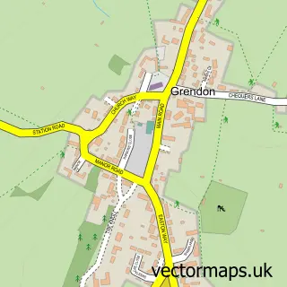
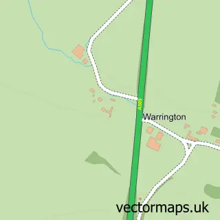
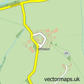
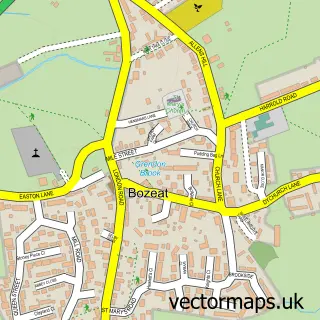
Nearby street map samples around Yardley Hastings

More street maps in Northamptonshire
750 metre map area coverage
Boundary, postcode and point of interest information for the 750m x 750m rectangle centred on this sample map.
Boundaries containing map centre
Constituency: South Northamptonshire Co Const
District: West Northamptonshire
Icb: NHS Northamptonshire ICB
Parish: Yardley Hastings CP
Police Force: northamptonshire
Postcode District: NN7
Postcode Sector: NN7 1
Ward: Cogenhoe & The Houghtons Ward
Nearby boundaries intersecting sample
No additional intersecting boundaries found.
Postcode coverage
POI category counts
Pub: 4
Post Office: 3
Musical Instrument Store: 2
Translation Services: 2
Accountant: 1
Adult Education: 1
Anglican Church: 1
Automotive Repair: 1
Beauty Salon: 1
Bridal Shop: 1
Sample points of interest
- Mad About Accountancy
- Crystal Learning & Development
- St Andrew, Yardley Hastings
- Yardley Hastings Garage
- The Hair and Beauty Box
- Yvonnes bridal boutique
- Paul Reading Master Thatcher
- St Andrews Church Yardley Hastings
- Yardley Hastings Memorial Hall
- Yardley Hastings School of Dance
- The Pudding Parlour
- Yardley Hastings Primary School
Create a larger editable map of Yardley Hastings
This sample shows only a 750 metre area. To create a larger map of Yardley Hastings, use our map builder to choose your own coverage area, add titles and download editable SVG, PDF and PNG files.
Create a custom map of Yardley Hastings