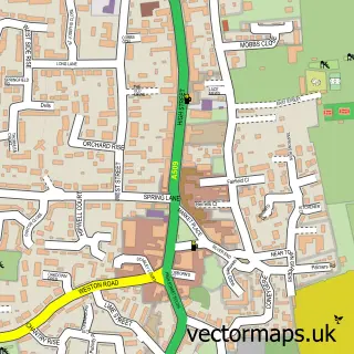
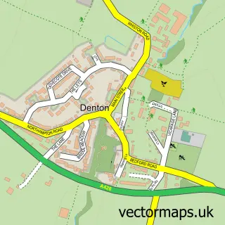
This Easton Maudit street map is a detailed vector street map covering a 750m x 750m area. Select a larger area to create and download your own vector street map of Easton Maudit.
The 750-metre map sample for Easton Maudit covers 40 mapped buildings and approximately 20.7 km of road detail, of which 1 named road are named. The immediate area includes 1 MOT station. To create a larger or custom map of Easton Maudit, the map builder lets you define your own coverage area and download editable SVG, PDF and PNG files.
Create a larger editable map of Easton Maudit
Choose any area you need and generate a high-quality vector map instantly. Perfect for print, planning, design, business and personal use.

This Easton Maudit street map in Northamptonshire is available as downloadable SVG, PDF and PNG map files, or as a printed map for planning, business, display, education, local information and design work. You can also create a larger custom map area using the map selector.
What this Easton Maudit map sample shows
Easton Maudit lies within Easton Maudit Cp parish, part of Bozeat ward in the North Northamptonshire local authority area. The postcode geography for this area includes the NN postcode area, the NN29 postcode district and the NN29 7 postcode sector. Residents fall under the Nhs Northamptonshire Integrated Care Board for NHS services.
Local features near Easton Maudit
Within 2 milesAmenities and services in and around Easton Maudit.
Administrative and postcode information for Easton Maudit
Easton Maudit lies within Easton Maudit Cp parish, part of Bozeat ward in the North Northamptonshire local authority area. The postcode geography for this area includes the NN postcode area, the NN29 postcode district and the NN29 7 postcode sector. Residents fall under the Nhs Northamptonshire Integrated Care Board for NHS services.
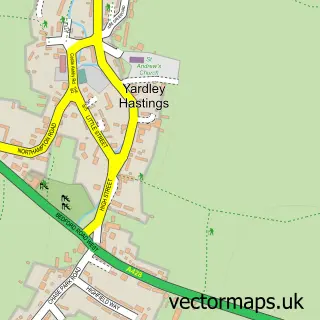
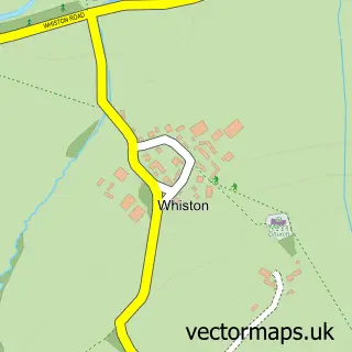
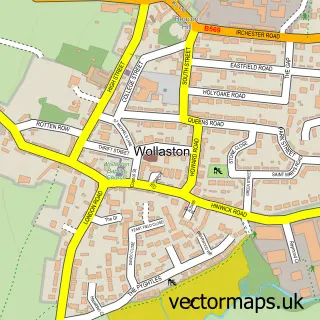
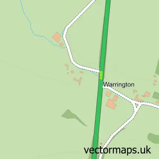
Nearby street map samples around Easton Maudit

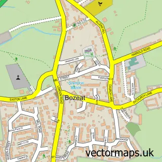
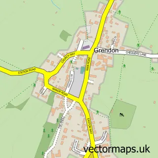
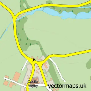
More street maps in Northamptonshire
750 metre map area coverage
Boundary, postcode and point of interest information for the 750m x 750m rectangle centred on this sample map.
Boundaries containing map centre
Constituency: South Northamptonshire Co Const
District: North Northamptonshire
Icb: NHS Northamptonshire ICB
Parish: Easton Maudit CP
Police Force: northamptonshire
Postcode District: NN29
Postcode Sector: NN29 7
Ward: Irchester Ward
Nearby boundaries intersecting sample
No additional intersecting boundaries found.
Postcode coverage
POI category counts
Active Life: 1
Anglican Church: 1
Flooring Contractors: 1
Horse Riding: 1
Kitchen Remodeling: 1
Real Estate Agent: 1
Stadium Arena: 1
Sample points of interest
- Manor Farm Riding School
- St Peter & St Paul Easton Maudit
- Ceramica Fix
- Manor Farm Riding Centre
- B J Healy
- Carpow Support UK
- Low Farm Equestrian
Create a larger editable map of Easton Maudit
This sample shows only a 750 metre area. To create a larger map of Easton Maudit, use our map builder to choose your own coverage area, add titles and download editable SVG, PDF and PNG files.
Create a custom map of Easton Maudit