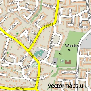
This Hardingstone street map is a detailed vector street map covering a 750m x 750m area. Select a larger area to create and download your own vector street map of Hardingstone.
The 750-metre map sample for Hardingstone covers 408 mapped buildings and approximately 24.8 km of road detail, of which 26 named roads are named. The immediate area includes 2 schools, 4 GP surgeries within 2 miles, 2 pubs and 19 MOT stations within 2 miles. The wider area around Hardingstone features 2 tourism points of interest and 2 food and drink venues. To create a larger or custom map of Hardingstone, the map builder lets you define your own coverage area and download editable SVG, PDF and PNG files.
Create a larger editable map of Hardingstone
Choose any area you need and generate a high-quality vector map instantly. Perfect for print, planning, design, business and personal use.

This Hardingstone street map in Northamptonshire is available as downloadable SVG, PDF and PNG map files, or as a printed map for planning, business, display, education, local information and design work. You can also create a larger custom map area using the map selector.
What this Hardingstone map sample shows
Hardingstone lies within Hardingstone Cp parish, part of Nene Valley ward in the West Northamptonshire local authority area. The postcode geography for this area includes the NN postcode area, the NN4 postcode district and the NN4 6 postcode sector. Residents fall under the Nhs Northamptonshire Integrated Care Board for NHS services.
Local features near Hardingstone
Within 2 milesAmenities and services in and around Hardingstone.
Administrative and postcode information for Hardingstone
Hardingstone lies within Hardingstone Cp parish, part of Nene Valley ward in the West Northamptonshire local authority area. The postcode geography for this area includes the NN postcode area, the NN4 postcode district and the NN4 6 postcode sector. Residents fall under the Nhs Northamptonshire Integrated Care Board for NHS services.
Nearby street map samples around Hardingstone


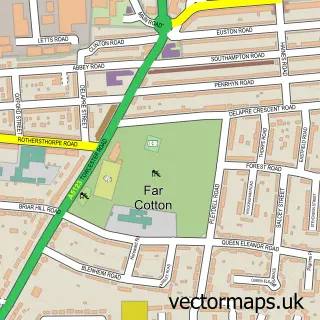
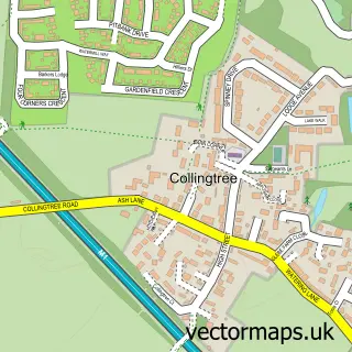
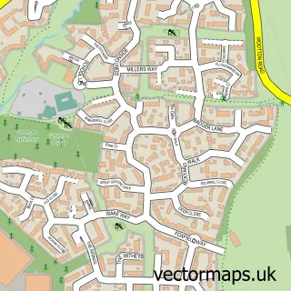
More street maps in Northamptonshire
750 metre map area coverage
Boundary, postcode and point of interest information for the 750m x 750m rectangle centred on this sample map.
Boundaries containing map centre
Constituency: Northampton South Boro Const
District: West Northamptonshire
Icb: NHS Northamptonshire ICB
Parish: Hardingstone CP
Police Force: northamptonshire
Postcode District: NN4
Postcode Sector: NN4 6
Ward: Nene Valley Ward
Nearby boundaries intersecting sample
Parish: Wootton CP
Postcode Sector: NN4 7
Postcode coverage
POI category counts
Beauty Salon: 6
Church Cathedral: 5
Convenience Store: 2
Hair Salon: 2
Korean Grocery Store: 2
Park: 2
Pet Store: 2
Professional Services: 2
Pub: 2
School: 2
Sample points of interest
- St Edmund, Hardingstone
- ATM (Post Office)
- The Sun Inn
- G I's Hair
- Gi's Hair
- Lyn Keable The Beauty Room
- Monica Rose Beauty Studio owner Laura Stewart.
- Mulberry House Clinic
- P&B Massage and Beauty
- The Little Beauty Box
- Stockwell Construction Ltd
- Northampton High School For Girls
Create a larger editable map of Hardingstone
This sample shows only a 750 metre area. To create a larger map of Hardingstone, use our map builder to choose your own coverage area, add titles and download editable SVG, PDF and PNG files.
Create a custom map of Hardingstone