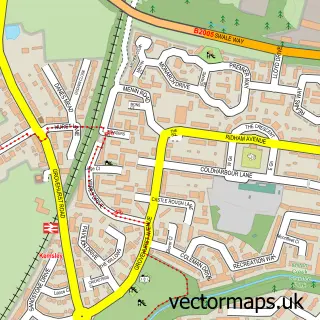
This Conyer street map is a detailed vector street map covering a 750m x 750m area. Select a larger area to create and download your own vector street map of Conyer.
The 750-metre map sample for Conyer covers 78 mapped buildings and approximately 5.1 km of road detail, of which 4 named roads are named. The immediate area includes 2 pubs and 1 MOT station within 2 miles. The wider area around Conyer features 2 tourism points of interest and 2 food and drink venues. To create a larger or custom map of Conyer, the map builder lets you define your own coverage area and download editable SVG, PDF and PNG files.
Create a larger editable map of Conyer
Choose any area you need and generate a high-quality vector map instantly. Perfect for print, planning, design, business and personal use.

This Conyer street map in Kent is available as downloadable SVG, PDF and PNG map files, or as a printed map for planning, business, display, education, local information and design work. You can also create a larger custom map area using the map selector.
What this Conyer map sample shows
Conyer lies within Teynham Cp parish, part of Teynham And Lynsted ward in the Swale District (B) local authority area. The postcode geography for this area includes the ME postcode area, the ME9 postcode district and the ME9 9 postcode sector. Residents fall under the Nhs Kent And Medway Integrated Care Board for NHS services.
Local features near Conyer
Within 2 milesAmenities and services in and around Conyer.
Administrative and postcode information for Conyer
The local authority covering Conyer is Swale District (B), within the county of Kent. The settlement lies within Teynham And Lynsted ward and Teynham Cp civil parish. The ME9 postcode district and ME9 9 postcode sector serve the immediate area. NHS provision in the area is delivered through East Kent Hospitals University Nhs Foundation Trust.
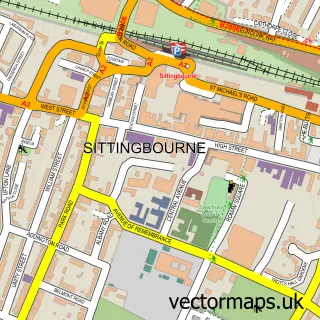
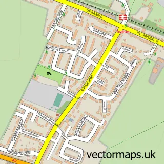
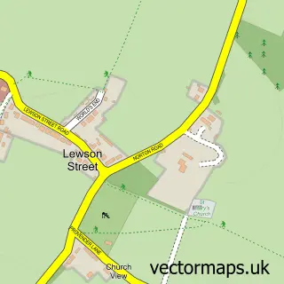
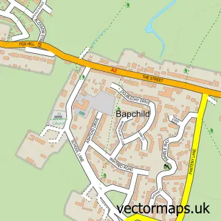
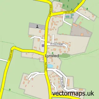
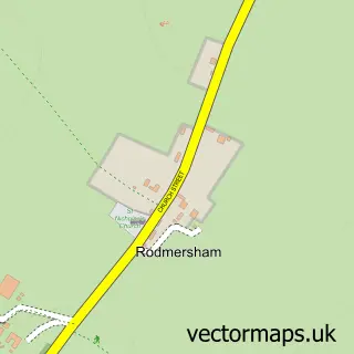
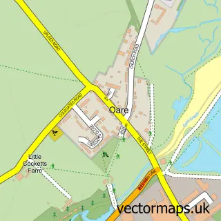
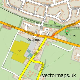
Nearby street map samples around Conyer

More street maps in Kent
750 metre map area coverage
Boundary, postcode and point of interest information for the 750m x 750m rectangle centred on this sample map.
Boundaries containing map centre
Constituency: Faversham and Mid Kent Co Const
County: Kent County
District: Swale District (B)
Icb: NHS Kent and Medway ICB
Parish: Teynham CP
Police Force: kent
Postcode District: ME9
Postcode Sector: ME9 9
Ward: Teynham and Lynsted Ward
Nearby boundaries intersecting sample
Parish: Tonge CP
Postcode coverage
POI category counts
Gastropub: 2
Professional Services: 2
Pub: 2
Advertising Agency: 1
Alternative Medicine: 1
Attractions And Activities: 1
Automotive Repair: 1
Automotive Services And Repair: 1
Boat Service And Repair: 1
Building Supply Store: 1
Sample points of interest
- Bug Bear Marketing Ltd.
- Isis Centre
- Conyer Creek
- Mercury R V
- Bay Class Yachts
- North Quay Marine, Boat Builders Repairs and Restorations
- Bellreeves
- Capsa Consultants
- The Ship
- The Ship at Conyer
- Conyer
- In2eco Marketing And Websites
Create a larger editable map of Conyer
This sample shows only a 750 metre area. To create a larger map of Conyer, use our map builder to choose your own coverage area, add titles and download editable SVG, PDF and PNG files.
Create a custom map of Conyer