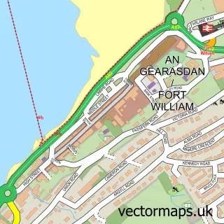
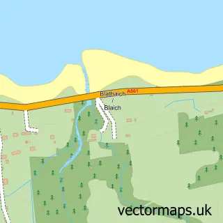
This Corpach street map is a detailed vector street map covering a 750m x 750m area. Select a larger area to create and download your own vector street map of Corpach.
The 750-metre map sample for Corpach covers 83 mapped buildings and approximately 6.1 km of road detail, of which 5 named roads are named. The immediate area includes 1 railway station, 3 GP surgeries within 2 miles, 1 pub and 5 MOT stations within 2 miles. The wider area around Corpach features 2 tourism points of interest, 3 food and drink venues and 1 hotel. To create a larger or custom map of Corpach, the map builder lets you define your own coverage area and download editable SVG, PDF and PNG files.
Create a larger editable map of Corpach
Choose any area you need and generate a high-quality vector map instantly. Perfect for print, planning, design, business and personal use.

This Corpach street map in Inverness is available as downloadable SVG, PDF and PNG map files, or as a printed map for planning, business, display, education, local information and design work. You can also create a larger custom map area using the map selector.
What this Corpach map sample shows
Corpach lies within Highland parish, part of Caol And Mallaig ward in the Highland local authority area. The postcode geography for this area includes the PH postcode area, the PH33 postcode district and the PH33 7 postcode sector. Residents fall under the Highland for NHS services.
Local features near Corpach
Within 2 milesAmenities and services in and around Corpach.
Administrative and postcode information for Corpach
Corpach lies within Highland parish, part of Caol And Mallaig ward in the Highland local authority area. The postcode geography for this area includes the PH postcode area, the PH33 postcode district and the PH33 7 postcode sector. Residents fall under the Highland for NHS services.
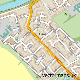
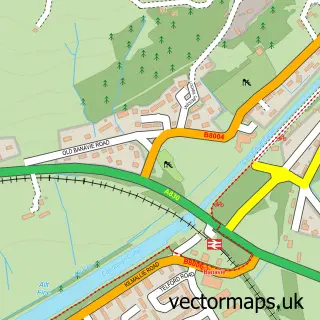
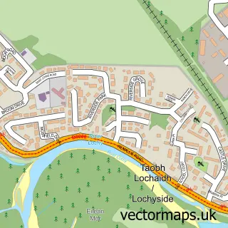
Nearby street map samples around Corpach


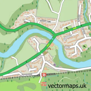
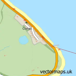
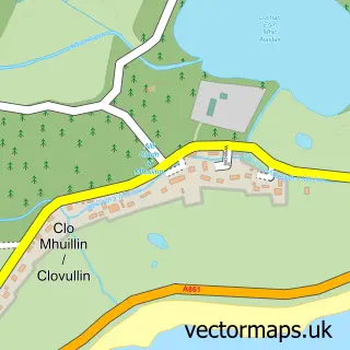
More street maps in Inverness
750 metre map area coverage
Boundary, postcode and point of interest information for the 750m x 750m rectangle centred on this sample map.
Boundaries containing map centre
Constituency: Inverness, Skye and West Ross-shire Co Const
District: Highland
Icb: Highland
Postcode District: PH33
Postcode Sector: PH33 7
Ward: Caol and Mallaig Ward
Nearby boundaries intersecting sample
No additional intersecting boundaries found.
Postcode coverage
POI category counts
Bed And Breakfast: 3
Scout Hall: 2
Shipping Center: 2
Train Station: 2
Active Life: 1
Atms: 1
Cafe: 1
Church Cathedral: 1
Coffee Shop: 1
Community Center: 1
Sample points of interest
- Fort William Lock
- The Cooperative Food (BF) Corpach (ERF), Main Street Corpach
- Nevis View
- Ravenswood House
- Travee
- An Cafaidh Mara
- The Mustard Seed Fellowship
- Costa Express
- Kilmallie Community Centre
- Co-op
- Utility Warehouse
- Arthur Watt Building Engineer Ltd.
Create a larger editable map of Corpach
This sample shows only a 750 metre area. To create a larger map of Corpach, use our map builder to choose your own coverage area, add titles and download editable SVG, PDF and PNG files.
Create a custom map of Corpach