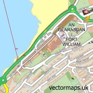
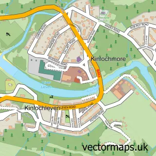
This Lochyside street map is a detailed vector street map covering a 750m x 750m area. Select a larger area to create and download your own vector street map of Lochyside.
The 750-metre map sample for Lochyside covers 114 mapped buildings and approximately 10.8 km of road detail, of which 17 named roads are named. The immediate area includes 3 GP surgeries within 2 miles and 4 MOT stations within 2 miles. The wider area around Lochyside features 1 tourism point of interest, 1 hotel and 1 campsite within 2 miles. To create a larger or custom map of Lochyside, the map builder lets you define your own coverage area and download editable SVG, PDF and PNG files.
Create a larger editable map of Lochyside
Choose any area you need and generate a high-quality vector map instantly. Perfect for print, planning, design, business and personal use.

This Lochyside street map in Inverness is available as downloadable SVG, PDF and PNG map files, or as a printed map for planning, business, display, education, local information and design work. You can also create a larger custom map area using the map selector.
What this Lochyside map sample shows
Lochyside lies within Highland parish, part of Caol And Mallaig ward in the Highland local authority area. The postcode geography for this area includes the PH postcode area, the PH33 postcode district and the PH33 7 postcode sector. Residents fall under the Highland for NHS services.
Local features near Lochyside
Within 2 milesAmenities and services in and around Lochyside.
Administrative and postcode information for Lochyside
Lochyside lies within Highland parish, part of Caol And Mallaig ward in the Highland local authority area. The postcode geography for this area includes the PH postcode area, the PH33 postcode district and the PH33 7 postcode sector. Residents fall under the Highland for NHS services.
Nearby street map samples around Lochyside

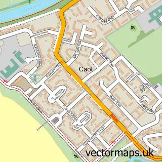
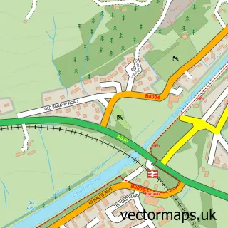
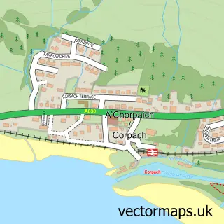

More street maps in Inverness
750 metre map area coverage
Boundary, postcode and point of interest information for the 750m x 750m rectangle centred on this sample map.
Boundaries containing map centre
Constituency: Inverness, Skye and West Ross-shire Co Const
District: Highland
Icb: Highland
Postcode District: PH33
Postcode Sector: PH33 7
Ward: Caol and Mallaig Ward
Nearby boundaries intersecting sample
No additional intersecting boundaries found.
Postcode coverage
POI category counts
Bed And Breakfast: 1
Beverage Store: 1
Butcher Shop: 1
Carpenter: 1
Community Services Non Profits: 1
Contractor: 1
Financial Service: 1
Fishmonger: 1
Grocery Store: 1
Holiday Rental Home: 1
Sample points of interest
- Cuil Na Sithe
- Fastnet Highlands
- Lochaber Larder
- Michael Faryma Joiners
- The Buzz Project
- G Welding
- Lochaber Accountancy Services
- Iain Stewart Fishmongers
- Highland Smoked Salmon
- Ramblers Rest Cottage
- The Hayloft Self Catering
- Emergency Action Training
Create a larger editable map of Lochyside
This sample shows only a 750 metre area. To create a larger map of Lochyside, use our map builder to choose your own coverage area, add titles and download editable SVG, PDF and PNG files.
Create a custom map of Lochyside