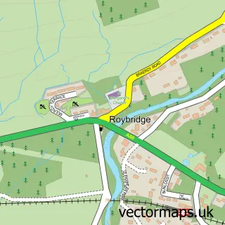
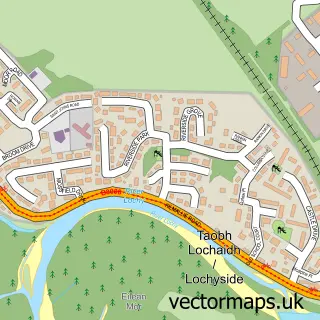
This Spean Bridge street map is a detailed vector street map covering a 750m x 750m area. Select a larger area to create and download your own vector street map of Spean Bridge.
The 750-metre map sample for Spean Bridge covers 115 mapped buildings and approximately 13.7 km of road detail, of which 9 named roads are named. The immediate area includes 1 railway station. The wider area around Spean Bridge features 4 food and drink venues and 3 hotels. To create a larger or custom map of Spean Bridge, the map builder lets you define your own coverage area and download editable SVG, PDF and PNG files.
Create a larger editable map of Spean Bridge
Choose any area you need and generate a high-quality vector map instantly. Perfect for print, planning, design, business and personal use.

This Spean Bridge street map in Inverness is available as downloadable SVG, PDF and PNG map files, or as a printed map for planning, business, display, education, local information and design work. You can also create a larger custom map area using the map selector.
What this Spean Bridge map sample shows
Spean Bridge lies within Highland parish, part of Caol And Mallaig ward in the Highland local authority area. The postcode geography for this area includes the PH postcode area, the PH34 postcode district and the PH34 4 postcode sector. Residents fall under the Highland for NHS services.
Local features near Spean Bridge
Within 2 milesAmenities and services in and around Spean Bridge.
Administrative and postcode information for Spean Bridge
Spean Bridge lies within Highland parish, part of Caol And Mallaig ward in the Highland local authority area. The postcode geography for this area includes the PH postcode area, the PH34 postcode district and the PH34 4 postcode sector. Residents fall under the Highland for NHS services.
Nearby street map samples around Spean Bridge
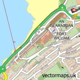

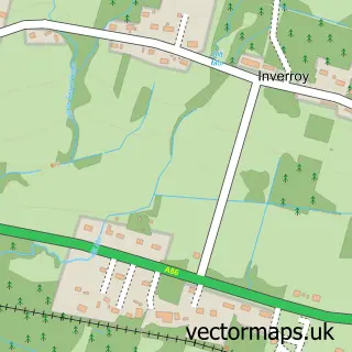
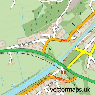

More street maps in Inverness
750 metre map area coverage
Boundary, postcode and point of interest information for the 750m x 750m rectangle centred on this sample map.
Boundaries containing map centre
Constituency: Inverness, Skye and West Ross-shire Co Const
District: Highland
Icb: Highland
Postcode District: PH34
Postcode Sector: PH34 4
Ward: Caol and Mallaig Ward
Nearby boundaries intersecting sample
No additional intersecting boundaries found.
Postcode coverage
POI category counts
Bed And Breakfast: 8
Clothing Store: 4
Hotel: 3
Coffee Shop: 2
Convenience Store: 2
Lodge: 2
Pharmacy: 2
Restaurant: 2
British Restaurant: 1
Community Services Non Profits: 1
Sample points of interest
- Distant Hills Guest House
- Inverour Guest House
- Mahaar Bed & Breakfast
- Rosebank Guest House
- Smiddy House
- Smiddy House
- Spean Lodge
- Spean Lodge Country House
- Old Station Restaurant & Bar
- Edinburgh Woollen Mill
- Post Office
- Spean Bridge Post Office
Create a larger editable map of Spean Bridge
This sample shows only a 750 metre area. To create a larger map of Spean Bridge, use our map builder to choose your own coverage area, add titles and download editable SVG, PDF and PNG files.
Create a custom map of Spean Bridge