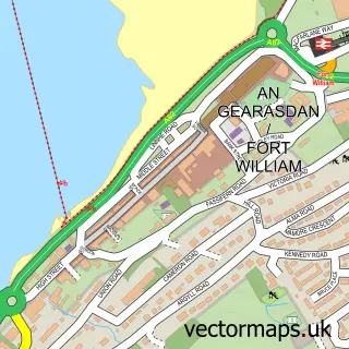
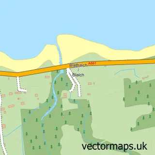
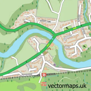
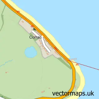
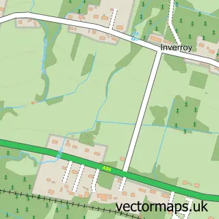
This Caol street map is a detailed vector street map covering a 750m x 750m area. Select a larger area to create and download your own vector street map of Caol.
The 750-metre map sample for Caol covers 148 mapped buildings and approximately 17.6 km of road detail, of which 31 named roads are named. The immediate area includes 3 GP surgeries within 2 miles and 4 MOT stations within 2 miles. The wider area around Caol features 1 tourism point of interest, 2 food and drink venues and 1 campsite within 2 miles. To create a larger or custom map of Caol, the map builder lets you define your own coverage area and download editable SVG, PDF and PNG files.
Create a larger editable map of Caol
Choose any area you need and generate a high-quality vector map instantly. Perfect for print, planning, design, business and personal use.

This Caol street map in Inverness is available as downloadable SVG, PDF and PNG map files, or as a printed map for planning, business, display, education, local information and design work. You can also create a larger custom map area using the map selector.
What this Caol map sample shows
Caol lies within Highland parish, part of Caol And Mallaig ward in the Highland local authority area. The postcode geography for this area includes the PH postcode area, the PH33 postcode district and the PH33 7 postcode sector. Residents fall under the Highland for NHS services.
Local features near Caol
Within 2 milesAmenities and services in and around Caol.
Administrative and postcode information for Caol
The local authority covering Caol is Highland, within the county of Inverness. The settlement lies within Caol And Mallaig ward and Highland civil parish. The PH33 postcode district and PH33 7 postcode sector serve the immediate area. NHS provision in the area is delivered through Highland.
Nearby street map samples around Caol

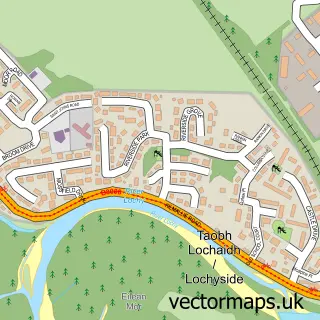
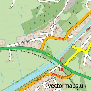
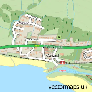

More street maps in Inverness
750 metre map area coverage
Boundary, postcode and point of interest information for the 750m x 750m rectangle centred on this sample map.
Boundaries containing map centre
Constituency: Inverness, Skye and West Ross-shire Co Const
District: Highland
Icb: Highland
Postcode District: PH33
Postcode Sector: PH33 7
Ward: Caol and Mallaig Ward
Nearby boundaries intersecting sample
No additional intersecting boundaries found.
Postcode coverage
POI category counts
Convenience Store: 3
Barber: 2
Cafe: 2
Catholic Church: 2
Church Cathedral: 2
Elementary School: 2
Funeral Services And Cemeteries: 2
Holiday Rental Home: 2
Professional Services: 2
Rental Kiosks: 2
Sample points of interest
- Braeburn B & B
- The Cooperative Food (BF) Caol (ERF), Caol
- Lochaber Rural Complex Limited
- Noel Pike Electrical And Heating Contractor
- Caol Cuts Hair Design
- John Wilson Barber Shop
- Caol Beach
- CoCo Beauty
- Greyhound Taxis
- Bake and Roll
- Lochaber Action On Disability
- Ladbrokes
Create a larger editable map of Caol
This sample shows only a 750 metre area. To create a larger map of Caol, use our map builder to choose your own coverage area, add titles and download editable SVG, PDF and PNG files.
Create a custom map of Caol