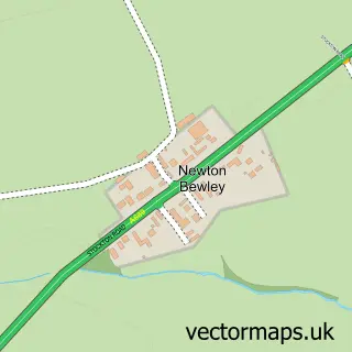
This Cowpen Bewley street map is a detailed vector street map covering a 750m x 750m area. Select a larger area to create and download your own vector street map of Cowpen Bewley.
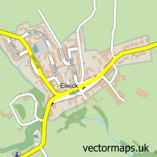
The 750-metre map sample for Cowpen Bewley covers 82 mapped buildings and approximately 10.3 km of road detail, of which 5 named roads are named. The immediate area includes 6 GP surgeries within 2 miles, 2 pubs and 1 MOT station, with 8 within 2 miles. The wider area around Cowpen Bewley features 2 food and drink venues. To create a larger or custom map of Cowpen Bewley, the map builder lets you define your own coverage area and download editable SVG, PDF and PNG files.
Create a larger editable map of Cowpen Bewley
Choose any area you need and generate a high-quality vector map instantly. Perfect for print, planning, design, business and personal use.

This Cowpen Bewley street map in Durham is available as downloadable SVG, PDF and PNG map files, or as a printed map for planning, business, display, education, local information and design work. You can also create a larger custom map area using the map selector.
What this Cowpen Bewley map sample shows
Cowpen Bewley lies within Billingham Cp parish, part of Billingham East ward in the Stockton-On-Tees (B) local authority area. The postcode geography for this area includes the TS postcode area, the TS23 postcode district and the TS23 4 postcode sector. Residents fall under the Nhs North East And North Cumbria Integrated Care Board for NHS services.
Local features near Cowpen Bewley
Within 2 milesAmenities and services in and around Cowpen Bewley.
Administrative and postcode information for Cowpen Bewley
The local authority covering Cowpen Bewley is Stockton-On-Tees (B), within the county of Durham. The settlement lies within Billingham East ward and Billingham Cp civil parish. The TS23 postcode district and TS23 4 postcode sector serve the immediate area. NHS provision in the area is delivered through North Tees And Hartlepool Nhs Foundation Trust.
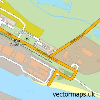
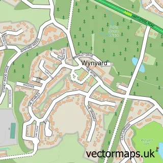
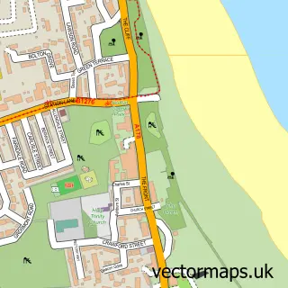
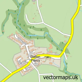
Nearby street map samples around Cowpen Bewley

More street maps in Durham
750 metre map area coverage
Boundary, postcode and point of interest information for the 750m x 750m rectangle centred on this sample map.
Boundaries containing map centre
Constituency: Stockton North Co Const
District: Stockton-on-Tees (B)
Icb: NHS North East and North Cumbria ICB
Parish: Billingham CP
Police Force: cleveland
Postcode District: TS23
Postcode Sector: TS23 4
Ward: Billingham South Ward
Nearby boundaries intersecting sample
Postcode Sector: TS23 3
Ward: Billingham East Ward
Postcode coverage
POI category counts
Pub: 2
Auto Body Shop: 1
Garbage Collection Service: 1
Industrial Equipment: 1
It Service And Computer Repair: 1
Sample points of interest
- Bell's Autos
- Veolia Environmental Services
- Storage & Handling Equipment
- Microtechnics Computer Services
- The Three Horseshoes
- Three Horseshoes
Create a larger editable map of Cowpen Bewley
This sample shows only a 750 metre area. To create a larger map of Cowpen Bewley, use our map builder to choose your own coverage area, add titles and download editable SVG, PDF and PNG files.
Create a custom map of Cowpen Bewley