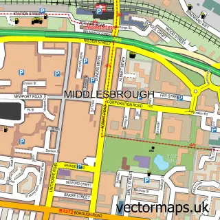
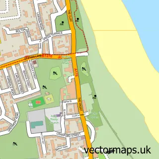
This Port Clarence street map is a detailed vector street map covering a 750m x 750m area. Select a larger area to create and download your own vector street map of Port Clarence.
The 750-metre map sample for Port Clarence covers 67 mapped buildings and approximately 8.0 km of road detail, of which 10 named roads are named. The immediate area includes 12 GP surgeries within 2 miles and 39 MOT stations within 2 miles. The wider area around Port Clarence features 2 tourism points of interest. To create a larger or custom map of Port Clarence, the map builder lets you define your own coverage area and download editable SVG, PDF and PNG files.
Create a larger editable map of Port Clarence
Choose any area you need and generate a high-quality vector map instantly. Perfect for print, planning, design, business and personal use.

This Port Clarence street map in Durham is available as downloadable SVG, PDF and PNG map files, or as a printed map for planning, business, display, education, local information and design work. You can also create a larger custom map area using the map selector.
What this Port Clarence map sample shows
Port Clarence lies within Middlesbrough (B) parish, part of Central ward in the Middlesbrough (B) local authority area. The postcode geography for this area includes the TS postcode area, the TS4 postcode district and the TS4 2 postcode sector. Residents fall under the Nhs North East And North Cumbria Integrated Care Board for NHS services.
Local features near Port Clarence
Within 2 milesAmenities and services in and around Port Clarence.
Administrative and postcode information for Port Clarence
Port Clarence lies within Middlesbrough (B) parish, part of Central ward in the Middlesbrough (B) local authority area. The postcode geography for this area includes the TS postcode area, the TS4 postcode district and the TS4 2 postcode sector. Residents fall under the Nhs North East And North Cumbria Integrated Care Board for NHS services.
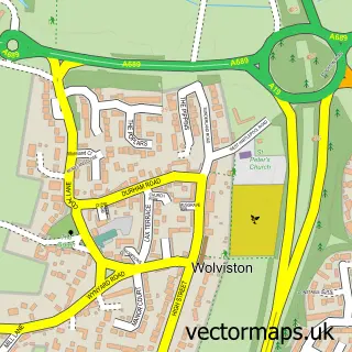
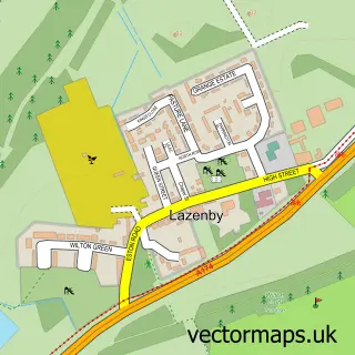
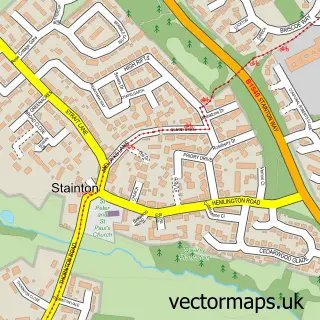
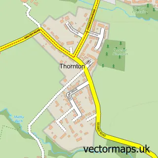
Nearby street map samples around Port Clarence

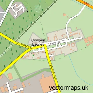
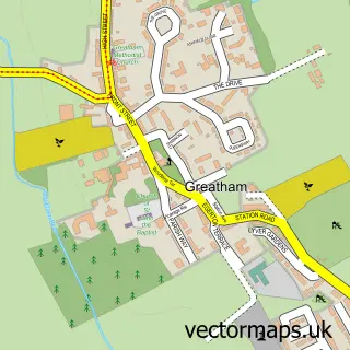
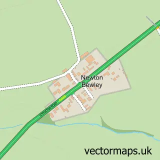
More street maps in Durham
750 metre map area coverage
Boundary, postcode and point of interest information for the 750m x 750m rectangle centred on this sample map.
Boundaries containing map centre
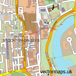
Constituency: Stockton North Co Const
District: Stockton-on-Tees (B)
Icb: NHS North East and North Cumbria ICB
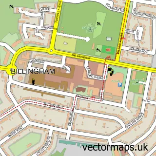
Parish: Billingham CP
Police Force: cleveland
Postcode District: TS2
Postcode Sector: TS2 1
Ward: Billingham South Ward
Nearby boundaries intersecting sample
Constituency: Middlesbrough and Thornaby East Boro Const
District: Middlesbrough (B)
Ward: Central Ward
Postcode coverage
POI category counts
Engineering Services: 2
Landmark And Historical Building: 2
Doctor: 1
Employment Agencies: 1
Natural Gas Supplier: 1
Post Office: 1
Topic Publisher: 1
Travel: 1
Sample points of interest
- Dr Geoghegan & Partners
- Drake International - Stockton
- Tees Valley Inspection Services
- Wilton Group
- Schwebefähre Middlesbrough
- Tees Transporter Bridge
- Port Clarence Calor Gas Centre
- Post Office
- Universal Coatings
- Port Clarence Offshore Base
Create a larger editable map of Port Clarence
This sample shows only a 750 metre area. To create a larger map of Port Clarence, use our map builder to choose your own coverage area, add titles and download editable SVG, PDF and PNG files.
Create a custom map of Port Clarence