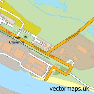
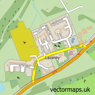
This Middlesbrough street map is a detailed vector street map covering a 750m x 750m area. Select a larger area to create and download your own vector street map of Middlesbrough.
The 750-metre map sample for Middlesbrough covers 123 mapped buildings and approximately 26.9 km of road detail, of which 60 named roads are named. The immediate area includes 1 railway station, 4 GP surgeries, with 16 within 2 miles, 21 pubs and 1 MOT station, with 39 within 2 miles. The wider area around Middlesbrough features 3 tourism points of interest, 65 food and drink venues and 5 hotels. To create a larger or custom map of Middlesbrough, the map builder lets you define your own coverage area and download editable SVG, PDF and PNG files.
Create a larger editable map of Middlesbrough
Choose any area you need and generate a high-quality vector map instantly. Perfect for print, planning, design, business and personal use.

This Middlesbrough street map in North Yorkshire is available as downloadable SVG, PDF and PNG map files, or as a printed map for planning, business, display, education, local information and design work. You can also create a larger custom map area using the map selector.
What this Middlesbrough map sample shows
Middlesbrough lies within Middlesbrough (B) parish, part of Central ward in the Middlesbrough (B) local authority area. The postcode geography for this area includes the TS postcode area, the TS4 postcode district and the TS4 2 postcode sector. Residents fall under the Nhs North East And North Cumbria Integrated Care Board for NHS services.
Local features near Middlesbrough
Within 2 milesAmenities and services in and around Middlesbrough.
Administrative and postcode information for Middlesbrough
Middlesbrough lies within Middlesbrough (B) parish, part of Central ward in the Middlesbrough (B) local authority area. The postcode geography for this area includes the TS postcode area, the TS4 postcode district and the TS4 2 postcode sector. Residents fall under the Nhs North East And North Cumbria Integrated Care Board for NHS services.
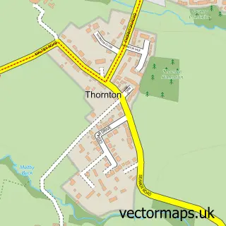
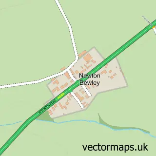
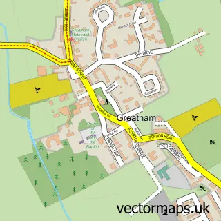
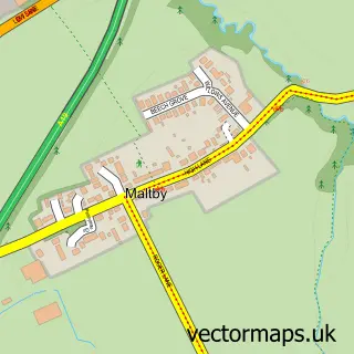
Nearby street map samples around Middlesbrough

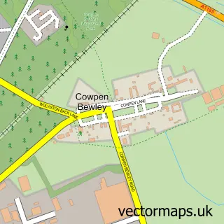
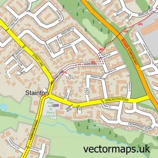
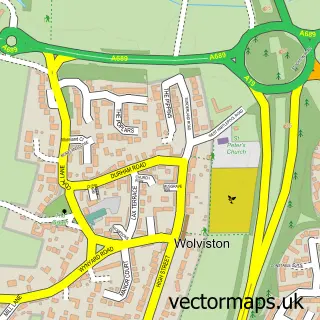
More street maps in North Yorkshire
750 metre map area coverage
Boundary, postcode and point of interest information for the 750m x 750m rectangle centred on this sample map.
Boundaries containing map centre
Constituency: Middlesbrough and Thornaby East Boro Const
District: Middlesbrough (B)
Icb: NHS North East and North Cumbria ICB
Police Force: cleveland
Postcode District: TS1
Postcode Sector: TS1 2
Ward: Central Ward
Nearby boundaries intersecting sample
Postcode District: TS2
Postcode Sector: TS1 1, TS1 3, TS1 4, TS1 5, TS2 1
Ward: Newport Ward
Postcode coverage
POI category counts
Clothing Store: 40
Beauty Salon: 26
Bar: 25
Employment Agencies: 24
Dance Club: 23
Jewelry Store: 23
Hair Salon: 21
Pub: 21
Mobile Phone Store: 20
Cafe: 18
Sample points of interest
- Public Health and Wellbeing
- Teesside University Central Halls
- Chuhan & Singh
- M.Willis Accountancy
- Inch Create
- Lone Wolf Media
- Muffin Marketing
- Seller Presto
- Herbal Inn
- BechBoro
- Upper Crust
- Regal Amusements
Create a larger editable map of Middlesbrough
This sample shows only a 750 metre area. To create a larger map of Middlesbrough, use our map builder to choose your own coverage area, add titles and download editable SVG, PDF and PNG files.
Create a custom map of Middlesbrough