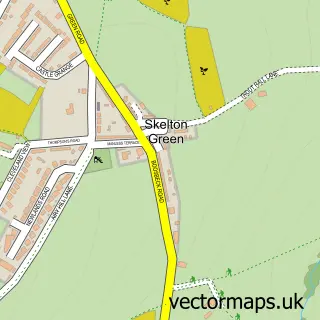
This Lazenby street map is a detailed vector street map covering a 750m x 750m area. Select a larger area to create and download your own vector street map of Lazenby.
The 750-metre map sample for Lazenby covers 139 mapped buildings and approximately 8.0 km of road detail, of which 12 named roads are named. The immediate area includes 1 school, 1 pub and 4 MOT stations within 2 miles. The wider area around Lazenby features 1 food and drink venue and 1 hotel. To create a larger or custom map of Lazenby, the map builder lets you define your own coverage area and download editable SVG, PDF and PNG files.
Create a larger editable map of Lazenby
Choose any area you need and generate a high-quality vector map instantly. Perfect for print, planning, design, business and personal use.

This Lazenby street map in North Yorkshire is available as downloadable SVG, PDF and PNG map files, or as a printed map for planning, business, display, education, local information and design work. You can also create a larger custom map area using the map selector.
What this Lazenby map sample shows
Lazenby lies within Redcar And Cleveland (B) parish, part of Eston ward in the Redcar And Cleveland (B) local authority area. The postcode geography for this area includes the TS postcode area, the TS6 postcode district and the TS6 8 postcode sector. Residents fall under the Nhs North East And North Cumbria Integrated Care Board for NHS services.
Local features near Lazenby
Within 2 milesAmenities and services in and around Lazenby.
Administrative and postcode information for Lazenby
Lazenby lies within Redcar And Cleveland (B) parish, part of Eston ward in the Redcar And Cleveland (B) local authority area. The postcode geography for this area includes the TS postcode area, the TS6 postcode district and the TS6 8 postcode sector. Residents fall under the Nhs North East And North Cumbria Integrated Care Board for NHS services.
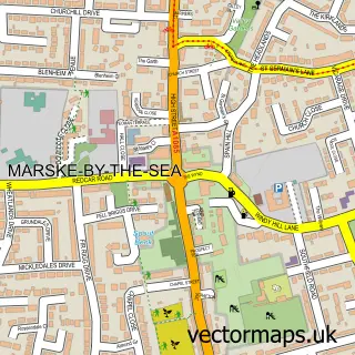
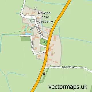
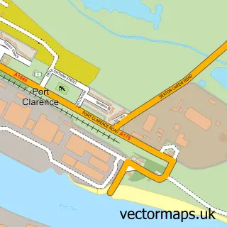
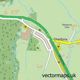
Nearby street map samples around Lazenby

More street maps in North Yorkshire
750 metre map area coverage
Boundary, postcode and point of interest information for the 750m x 750m rectangle centred on this sample map.
Boundaries containing map centre
Constituency: Redcar Boro Const
District: Redcar and Cleveland (B)
Icb: NHS North East and North Cumbria ICB
Police Force: cleveland
Postcode District: TS6
Postcode Sector: TS6 8
Ward: Eston Ward
Nearby boundaries intersecting sample
Postcode District: TS10
Postcode Sector: TS10 4
Ward: Dormanstown Ward
Postcode coverage
POI category counts
Courier And Delivery Services: 2
Appliance Store: 1
Assisted Living Facility: 1
Atms: 1
Community Center: 1
Convenience Store: 1
Eat And Drink: 1
Education: 1
Elementary School: 1
Employment Agencies: 1
Sample points of interest
- Living Fire Centre
- Brookfield Care Home
- PayPoint
- Lazenby Village Hall
- Lazenby Village Store
- Evri ParcelShop
- Evri ParcelShop
- Emmerdale Village
- Baby Sensory Ingleby Barwick, Northallerton & Thirsk
- Wilton Primary Academy
- Pertemps Recruitment Partnership
- Venice Pizzeria
Create a larger editable map of Lazenby
This sample shows only a 750 metre area. To create a larger map of Lazenby, use our map builder to choose your own coverage area, add titles and download editable SVG, PDF and PNG files.
Create a custom map of Lazenby