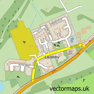
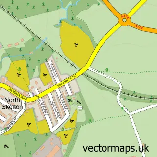
This New Marske street map is a detailed vector street map covering a 750m x 750m area. Select a larger area to create and download your own vector street map of New Marske.
The 750-metre map sample for New Marske covers 475 mapped buildings and approximately 19.1 km of road detail, of which 53 named roads are named. The immediate area includes 1 school, 4 GP surgeries within 2 miles and 1 MOT station, with 5 within 2 miles. The wider area around New Marske features 1 tourism point of interest and 1 food and drink venue. To create a larger or custom map of New Marske, the map builder lets you define your own coverage area and download editable SVG, PDF and PNG files.
Create a larger editable map of New Marske
Choose any area you need and generate a high-quality vector map instantly. Perfect for print, planning, design, business and personal use.

This New Marske street map in North Yorkshire is available as downloadable SVG, PDF and PNG map files, or as a printed map for planning, business, display, education, local information and design work. You can also create a larger custom map area using the map selector.
What this New Marske map sample shows
New Marske lies within Saltburn, Marske And New Marske Cp parish, part of Longbeck ward in the Redcar And Cleveland (B) local authority area. The postcode geography for this area includes the TS postcode area, the TS11 postcode district and the TS11 8 postcode sector. Residents fall under the Nhs North East And North Cumbria Integrated Care Board for NHS services.
Local features near New Marske
Within 2 milesAmenities and services in and around New Marske.
Administrative and postcode information for New Marske
New Marske lies within Saltburn, Marske And New Marske Cp parish, part of Longbeck ward in the Redcar And Cleveland (B) local authority area. The postcode geography for this area includes the TS postcode area, the TS11 postcode district and the TS11 8 postcode sector. Residents fall under the Nhs North East And North Cumbria Integrated Care Board for NHS services.
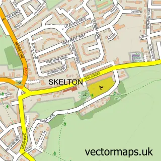
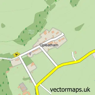
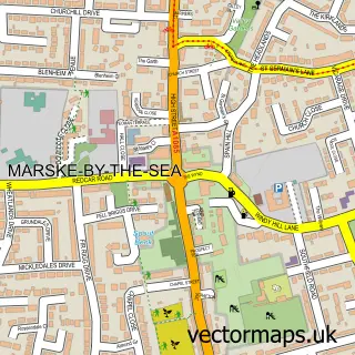
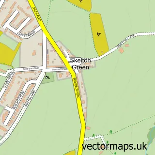
Nearby street map samples around New Marske

More street maps in North Yorkshire
750 metre map area coverage
Boundary, postcode and point of interest information for the 750m x 750m rectangle centred on this sample map.
Boundaries containing map centre
Constituency: Redcar Boro Const
District: Redcar and Cleveland (B)
Icb: NHS North East and North Cumbria ICB
Parish: Saltburn, Marske and New Marske CP
Police Force: cleveland
Postcode District: TS11
Postcode Sector: TS11 8
Ward: Longbeck Ward
Nearby boundaries intersecting sample
No additional intersecting boundaries found.
Postcode coverage
POI category counts
Convenience Store: 2
Plumbing: 2
Professional Services: 2
Atms: 1
Attractions And Activities: 1
Bakery: 1
Beauty Salon: 1
Carpet Store: 1
Chinese Restaurant: 1
Elementary School: 1
Sample points of interest
- PayPoint
- New Marske Allotments
- The Bread Basket
- Invisible Lengths Hair Replacements & Extensions at EnvySalon
- New Marske Flooring Studio
- Ying Can Cook
- Premier Kilbridge Mini Market
- Premier New Marske
- New Marske Primary School
- Hillside Drones
- Holme Lea Creations
- Brighton Motor Services
Create a larger editable map of New Marske
This sample shows only a 750 metre area. To create a larger map of New Marske, use our map builder to choose your own coverage area, add titles and download editable SVG, PDF and PNG files.
Create a custom map of New Marske