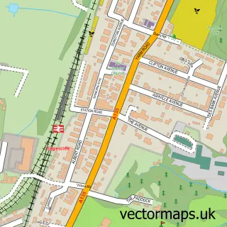
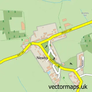
This Thornaby-on-Tees street map is a detailed vector street map covering a 750m x 750m area. Select a larger area to create and download your own vector street map of Thornaby-on-Tees.
The 750-metre map sample for Thornaby-on-Tees covers 307 mapped buildings and approximately 18.4 km of road detail, of which 41 named roads are named. The immediate area includes 1 primary school and 1 secondary school, 2 GP surgeries, with 8 within 2 miles, 2 pubs and 31 MOT stations within 2 miles. The wider area around Thornaby-on-Tees features 7 food and drink venues. To create a larger or custom map of Thornaby-on-Tees, the map builder lets you define your own coverage area and download editable SVG, PDF and PNG files.
Create a larger editable map of Thornaby-on-Tees
Choose any area you need and generate a high-quality vector map instantly. Perfect for print, planning, design, business and personal use.

This Thornaby-on-Tees street map in North Yorkshire is available as downloadable SVG, PDF and PNG map files, or as a printed map for planning, business, display, education, local information and design work. You can also create a larger custom map area using the map selector.
What this Thornaby-on-Tees map sample shows
Thornaby-on-Tees lies within Thornaby Cp parish, part of Stainsby Hill ward in the Stockton-On-Tees (B) local authority area. The postcode geography for this area includes the TS postcode area, the TS17 postcode district and the TS17 0 postcode sector. Residents fall under the Nhs North East And North Cumbria Integrated Care Board for NHS services.
Local features near Thornaby-on-Tees
Within 2 milesAmenities and services in and around Thornaby-on-Tees.
Administrative and postcode information for Thornaby-on-Tees
Thornaby-on-Tees lies within Thornaby Cp parish, part of Stainsby Hill ward in the Stockton-On-Tees (B) local authority area. The postcode geography for this area includes the TS postcode area, the TS17 postcode district and the TS17 0 postcode sector. Residents fall under the Nhs North East And North Cumbria Integrated Care Board for NHS services.
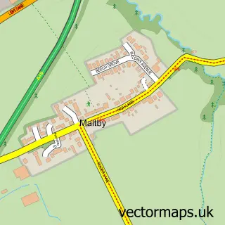
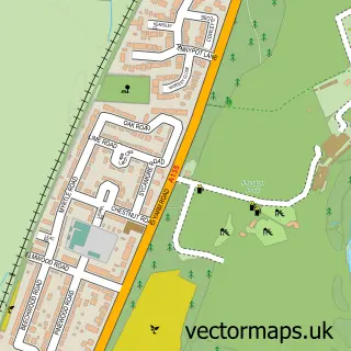
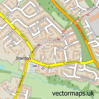
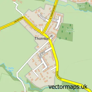
Nearby street map samples around Thornaby-on-Tees

More street maps in North Yorkshire
750 metre map area coverage
Boundary, postcode and point of interest information for the 750m x 750m rectangle centred on this sample map.
Boundaries containing map centre
Constituency: Stockton West Co Const
District: Stockton-on-Tees (B)
Icb: NHS North East and North Cumbria ICB
Parish: Thornaby CP
Police Force: cleveland
Postcode District: TS17
Postcode Sector: TS17 9
Ward: Village Ward
Nearby boundaries intersecting sample
Constituency: Middlesbrough and Thornaby East Boro Const
Postcode Sector: TS17 0, TS17 8
Ward: Stainsby Hill Ward
Postcode coverage
POI category counts
Supermarket: 5
Banks: 4
Beauty Salon: 4
Discount Store: 4
Doctor: 4
Fast Food Restaurant: 4
Bakery: 3
Coffee Shop: 3
E Cigarette Store: 3
Gym: 3
Sample points of interest
- Cash machine 1 St Peters House
- Security & Electrical Supplies Ltd.
- Ben's Autos
- Greggs
- Greggs
- Thornaby
- Halifax
- Barclays
- Barclays Local
- Virgin Money
- Yorkshire Bank
- Glamour Groomers
Create a larger editable map of Thornaby-on-Tees
This sample shows only a 750 metre area. To create a larger map of Thornaby-on-Tees, use our map builder to choose your own coverage area, add titles and download editable SVG, PDF and PNG files.
Create a custom map of Thornaby-on-Tees